Where was this footage filmed?
REGION ONLY · 42% confidence
Jizan front border sector (Al-Raboah/Munabbih/Jabal al-Dukhan area)
🛰️ Every possibility on satellite imagery
Zoom and pan freely. Circles are the agent's regional hypotheses, numbered pins are the concrete spots it checked against satellite imagery. Imagery is not dated — it can predate the event.
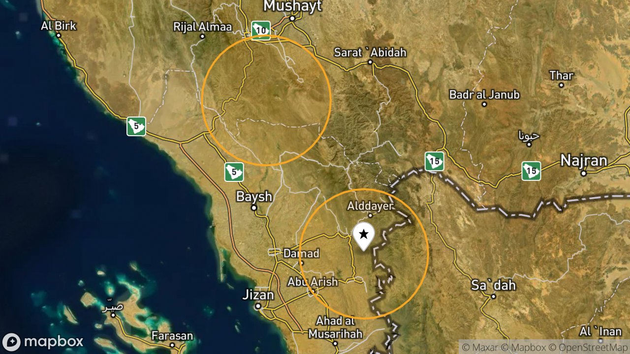
The map opens on the most likely location.
Most likely areas
- 42% Jizan front border sector (Al-Raboah/Munabbih/Jabal al-Dukhan area) ±35 km map ↗
- 35% Asir front border sector (Rijal Almaa/Al-Sawdah/Qatabah area) ±35 km map ↗
Candidate spots — video vs satellite
No concrete spot could be matched on satellite imagery — an honest “not found”.
Frames analysed
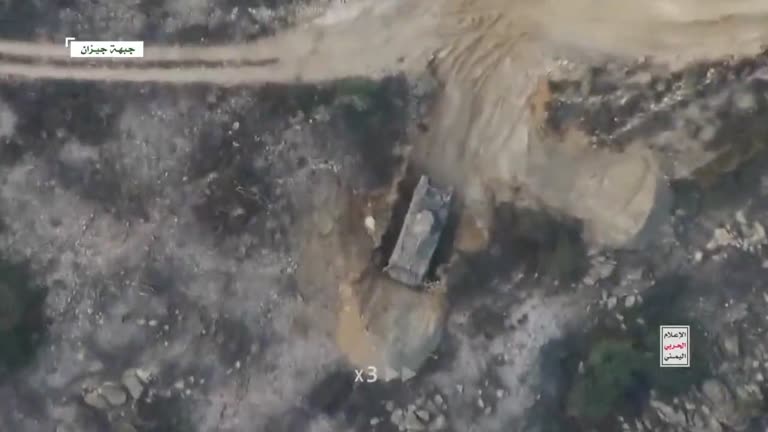
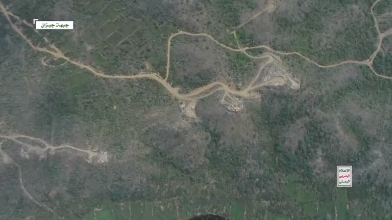
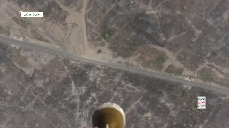
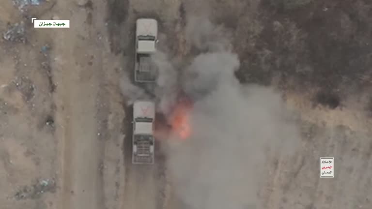
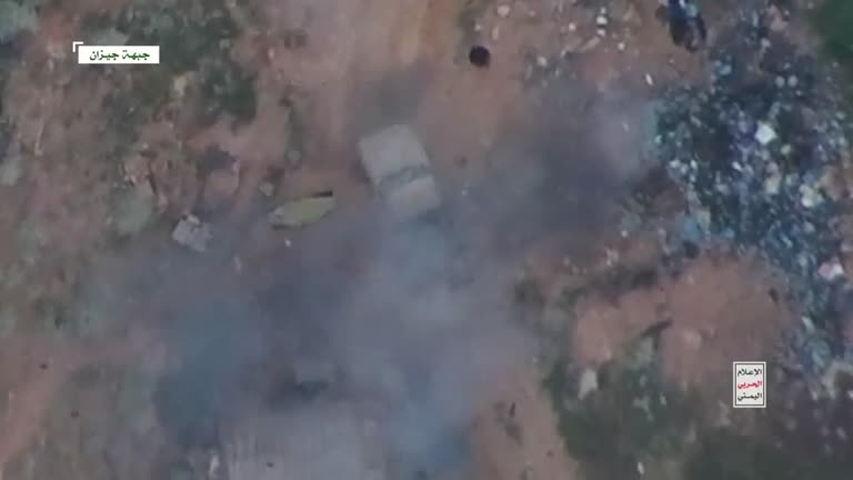
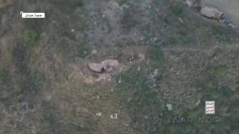
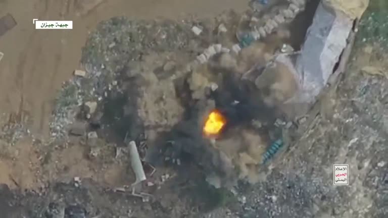
How the agent decided — full reasoning
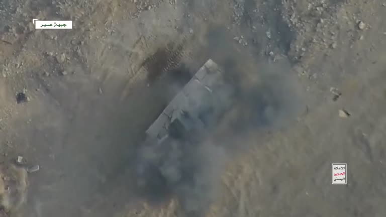
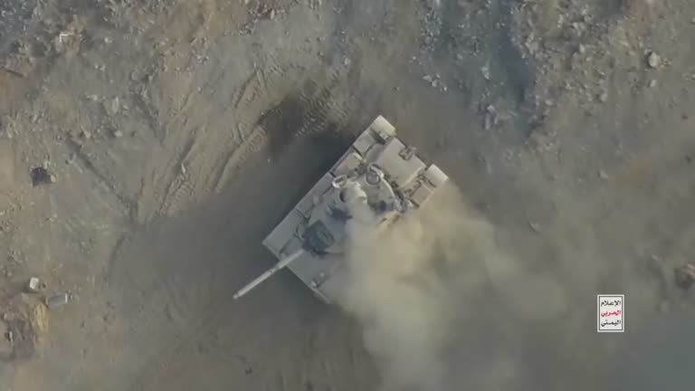
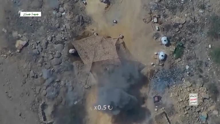
On-screen Arabic labels explicitly identify 'Asir Front' and 'Jizan Front', both active Houthi-Saudi border combat zones. Drone POV, impact strikes on tank/vehicles match reported event. Exact impact coordinates cannot be pinpointed from generic terrain, but general location along these two known fronts is well supported by text overlays and terrain context.
Regional hypotheses (with rationale)
- 42% — Jizan front border sector (Al-Raboah/Munabbih/Jabal al-Dukhan area) ±35 km · On-screen label 'جبهة جيزان' with dense green mountainous terrain matches Jizan highland escarpment; majority of frames (3-10) show this front show on satellite ↗
- 35% — Asir front border sector (Rijal Almaa/Al-Sawdah/Qatabah area) ±35 km · On-screen label 'جبهة عسير' in opening frames, tank strike shown here, arid terrain consistent with Asir border zone show on satellite ↗
Clues
- strong ★ distinctive On-screen labels 'جبهة عسير' (Asir Front) and 'جبهة جيزان' (Jizan Front) frames [1, 2, 3, 4, 5, 6, 7, 8, 9, 10]
- strong ★ distinctive Tank with turret and long gun barrel matching M60 silhouette under smoke frames [2]
- medium Mountainous, vegetated terrain with winding dirt roads typical of Jizan highlands/border escarpment frames [5]
- medium Military vehicles (pickup/technical trucks) parked in a row before being struck, with cargo bed and tarpaulin camouflage netting frames [3, 4, 7, 8]
- medium Direct hit munition flash and fireball consistent with drone-dropped bomb frames [10]
- strong ★ distinctive Watermark logo of Yemeni Houthi military media and secondary re-post watermark @WAR_NOIR frames [1, 2, 3, 4, 5, 6, 7, 8, 9, 10]
Environment
- terrain: Rugged border highlands - arid plains transitioning into forested mountain terrain, consistent with Saudi-Yemen Asir/Jizan border escarpment
- vegetation season: Mixed: barren rocky/sandy terrain in Asir frames, dense green scrub/tree cover in Jizan frames, suggesting different exact sub-locations along the same general front but same season (vegetation looks consistent, likely wet-season greenery typical of Jizan highlands)
- road: Unpaved dirt tracks and graded mountain roads, no formal lane markings, consistent with forward military supply roads near the border
- roadside: No permanent civilian structures, scattered rocks, tents/camouflage netting for military positions, revetments carved into hillsides for vehicle protection
- buildings: No conventional buildings visible; only military revetments, dug-in defensive positions and camouflage shelters
- sun shadows: Shadows short and compact in most frames suggesting near-midday filming; lighting consistent across frames indicating same approximate time of day for the operation
What a matching place must look like from above: A forward military position along the rugged Saudi-Yemen border in the Asir/Jizan sectors, featuring dirt mountain roads, dug-in vehicle revetments, camouflage netting over tents, and mixed barren/vegetated hillsides visible from directly overhead via small drone footage
What is this? When a strike video arrives without a location, our AI geolocation agent studies it like an OSINT analyst: it reads on-screen text and unit markings, estimates the platform's reach from the front line, compares terrain, roads and buildings, searches the map for matching places and checks each candidate against satellite imagery. It never moves the pin on the map by itself — it shows its reasoning and an honest confidence. Generic scenery (a straight road through steppe) usually stays “undetermined”.