Armenia reports construction of fortifications along Azerbaijan border
What happened
Armenian military forces are reportedly constructing new fortification positions, bunkers, and shelters along the Armenia-Azerbaijan border line, according to a report shared on social media on September 2, 2026. The report, originally in Turkish, did not specify which section of the border or the scale of construction activity. The announcement suggests ongoing defensive preparations in the border region.
Context and assessment
The Armenia-Azerbaijan border has remained a flashpoint since the 2020 war and subsequent ceasefire. Border fortification work typically reflects tactical concerns about potential incursions or renewed conflict. Armenia has periodically announced defensive construction projects in border areas as part of broader military readiness efforts. Such announcements may indicate heightened alert status, response to perceived threats, or routine maintenance of defensive positions. The timing and extent of construction activity can signal shifts in regional military posture, though announced projects do not always proceed as stated or at anticipated pace.
Sources and confidence
Report sourced from X account @ConflictTR, a Turkish conflict monitoring channel. Single-source reporting with no independent cross-confirmation noted. Confidence score of 6.0 reflects the unverified nature of the claim and reliance on one social media account. Confirmation from Armenian military statements or satellite imagery would significantly increase confidence. Reports from multiple independent sources or official Armenian defense ministry statements would strengthen credibility.
Location
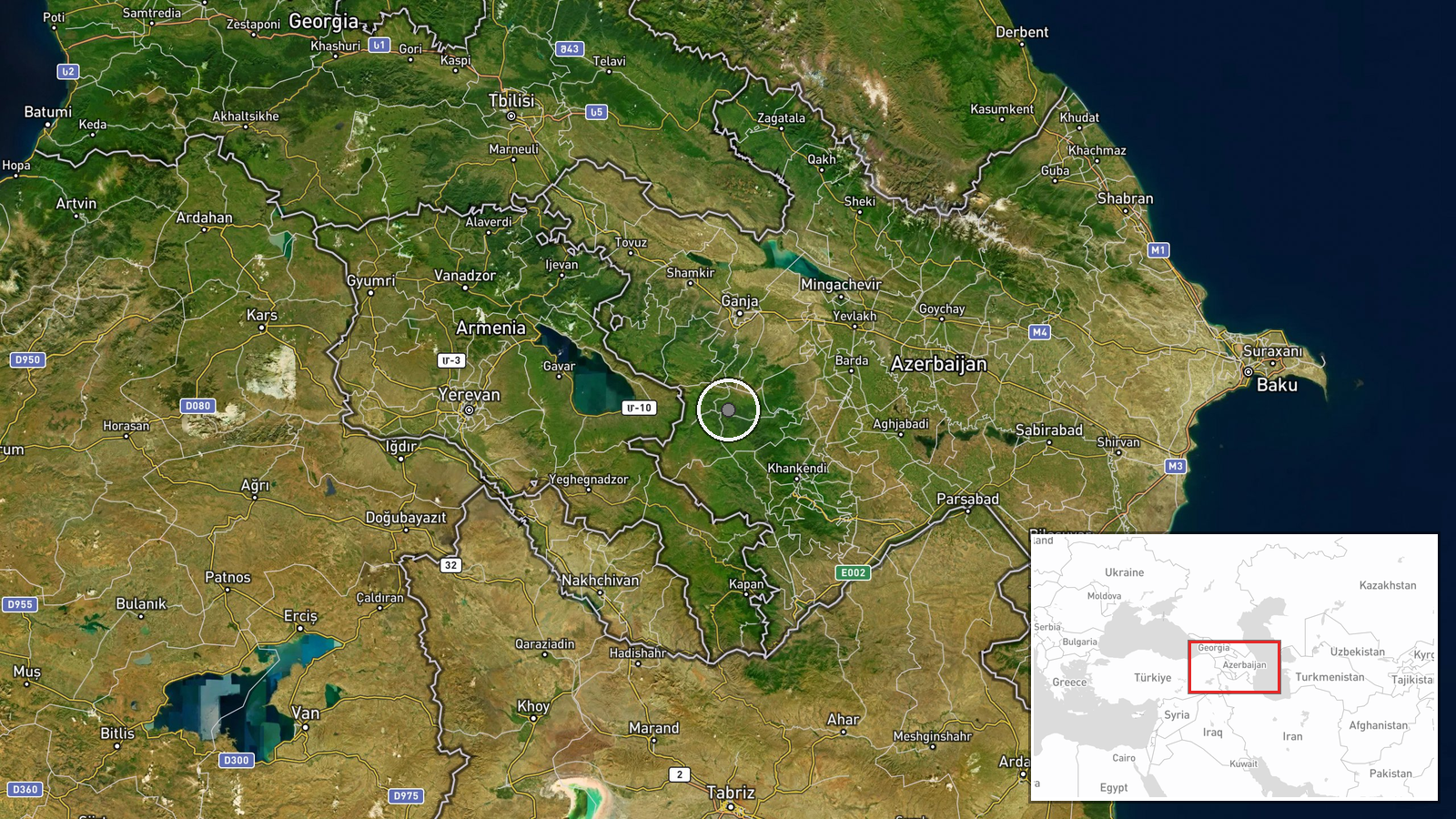
The Armenia-Azerbaijan border region, spanning approximately 1,000 kilometers from northwest (near Turkey) to southeast (near Iran). Coordinates indicate the central border area. Geo-precision is regional rather than site-specific, as the report does not identify particular settlements, valleys, or military installations. The border is mountainous and heavily fortified on both sides following the 2020 conflict.
▶ View this event on the live map
Intel Mapper aggregates open-source reports from monitored Telegram and X channels, geolocates them, cross-checks duplicates across sources and assigns a confidence score. Entries are updated as new confirmations arrive. Read how we verify events.