Turkish Navy destroys suspected unmanned surface vessels in Black Sea near Istanbul
What happened
Turkish naval forces (SAS) reportedly destroyed unidentified objects detected in waters near Istanbul and the Black Sea on September 2. The Turkish source characterized the targets as suspected kamikaze unmanned surface vehicles (KİDA). The exact classification, origin, and nature of the objects remain unconfirmed. No details on the number of vessels destroyed or the operational circumstances were provided in the available reporting.
Context and assessment
The Black Sea remains a contested maritime domain following Russia's 2022 invasion of Ukraine and subsequent withdrawal from the grain corridor agreement. Ukraine has conducted repeated drone boat operations against Russian naval assets and infrastructure in the region, causing significant losses to Russia's Black Sea Fleet. Turkey, as a NATO member and the Bosphorus Strait controller, maintains close maritime surveillance of the region. This incident may reflect Turkish efforts to monitor and interdict unmanned threats in strategically vital waters, though the source and intent of the detected objects cannot be determined from available information.
Sources and confidence
Single report from X account @ConflictTR. No cross-confirmation from Turkish military official sources, NATO allies, or independent monitoring. Confidence score of 6.0 reflects unverified single-source reporting and absence of official Turkish naval command statements. Score would increase with confirmation from Turkish defense ministry or NATO sources; would decrease if source credibility or translation clarity were questioned.
Location
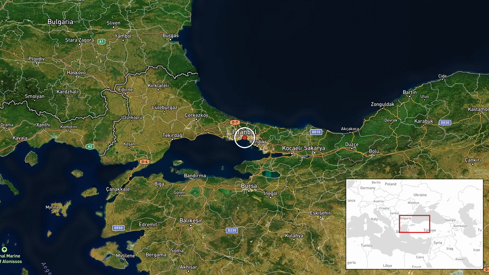
Black Sea waters and Istanbul region, Turkey. Precise coordinates (41.0082°N, 28.9784°E) indicate the Istanbul metropolitan area and adjacent waters. Geographic precision classified as 'region' due to lack of specific tactical coordinates. Area encompasses commercially vital Bosphorus Strait approaches and major Turkish naval bases.
▶ View this event on the live map
Intel Mapper aggregates open-source reports from monitored Telegram and X channels, geolocates them, cross-checks duplicates across sources and assigns a confidence score. Entries are updated as new confirmations arrive. Read how we verify events.