U.S. Air Force MQ-9 Reaper drone shot down over Humein in central Iran
What happened
An MQ-9A Reaper unmanned aerial vehicle operated by the U.S. Air Force was shot down over Humein, a city in Markazi Province in central Iran, according to imagery of wreckage shared on social media on September 3, 2026. The incident represents a direct aerial engagement between U.S. and Iranian forces. The specific circumstances of the shootdown—whether by air defense system, fighter intercept, or other means—were not detailed in available reports.
Context and assessment
Humein lies in Iran's industrial heartland roughly 140 kilometers west of Tehran. The shootdown signals an escalation in direct aerial operations between the United States and Iran, moving beyond proxy warfare toward open military confrontation. MQ-9 Reaper drones are long-range surveillance and strike platforms typically deployed for reconnaissance or targeted operations; their loss indicates either Iranian air defenses have improved capability or the U.S. is conducting more assertive operations in Iranian airspace. Such incidents often precede broader military escalation and may reflect heightened tensions over regional conflicts, though precise operational context remains unclear from available sources.
Sources and confidence
Reported by @ConflictTR on X (formerly Twitter). Single-source reporting with wreckage imagery provided. Confidence score of 6.0 reflects the visual evidence and established source but lack of cross-confirmation from U.S. military or additional channels. Confirmation from Pentagon statement or Iranian official acknowledgment would significantly raise confidence.
Location
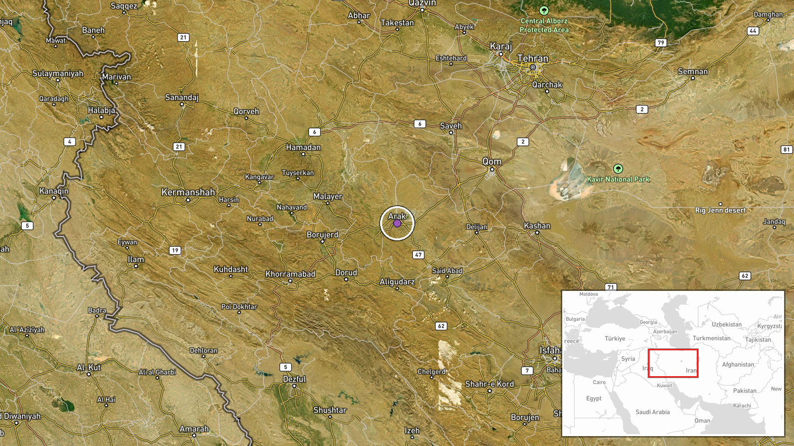
Humein (also spelled Homaein) in Markazi Province, central Iran, approximately 140 kilometers west-southwest of Tehran. Located in an industrial and urban zone at roughly 34.09°N, 49.69°E. The settlement is positioned in Iran's western interior plateau region.
▶ View this event on the live map
Intel Mapper aggregates open-source reports from monitored Telegram and X channels, geolocates them, cross-checks duplicates across sources and assigns a confidence score. Entries are updated as new confirmations arrive. Read how we verify events.