Turkish Navy begins escort operations for drill ship in Somali waters
What happened
Turkey's Ministry of Defence announced that its Somali Task Group has commenced planned escort and protection operations for civilian vessels in Somali waters. The naval group comprises three ships—TCG Göksu, TCG Gelibolu, and TCG Bartın—tasked with protecting the Çağrı Bey drill ship and three support vessels (Korkut, Altan, Sancar). The operation was executed as scheduled according to the ministry's statement.
Context and assessment
Turkey maintains a persistent naval presence in the Indian Ocean and Gulf of Aden region, supporting both counter-piracy efforts and commercial interests. The deployment of dedicated escort for drilling operations reflects the security challenges facing civilian maritime activity off Somalia's coast, where piracy and regional instability persist despite international naval patrols. Such operations typically indicate Turkish strategic interest in maintaining maritime access and protecting national economic assets in contested waters. The timing and scale suggest routine force projection rather than response to an immediate incident.
Sources and confidence
Reported by @ConflictTR citing Turkey's Ministry of Defence statement. Single official source with no independent cross-confirmation available. Confidence score reflects official attribution but limited corroboration from independent channels. Confirmation from additional Turkish military or international maritime tracking sources would strengthen confidence.
Location
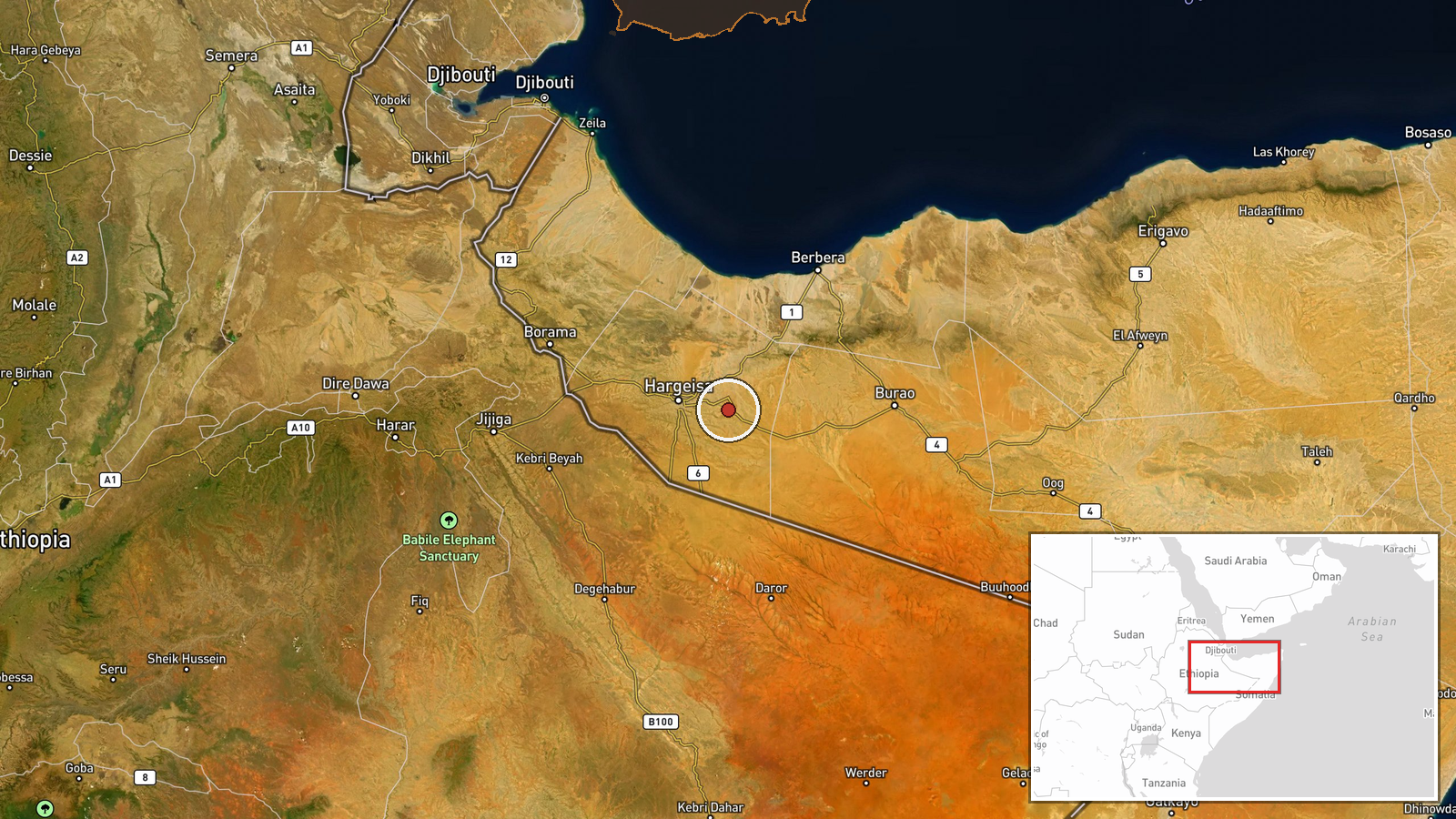
Somali waters in the Indian Ocean off the Horn of Africa coast, region-level precision. The coordinates approximate the general area of Somali maritime territory. Specific vessel positions within Somali waters not detailed in source material; typically such operations occur in territorial or international waters near Somalia's coast where piracy risk remains elevated.
▶ View this event on the live map
Intel Mapper aggregates open-source reports from monitored Telegram and X channels, geolocates them, cross-checks duplicates across sources and assigns a confidence score. Entries are updated as new confirmations arrive. Read how we verify events.