Iran claims fourth U.S. MQ-1 Predator drone shootdown in four days near Hormuz
What happened
Iran's Islamic Revolutionary Guard Corps (IRGC) announced the interception and destruction of a U.S. MQ-1 Predator unmanned aerial vehicle east of the Strait of Hormuz on September 15, 2026. The claim states the aircraft was downed using a new air defense system. This represents the fourth such shootdown claimed by Iran within four days, according to reports circulated on Telegram and X. The IRGC did not provide specific technical details about the system deployed or photographic evidence of the engagement.
Context and assessment
The Strait of Hormuz remains a zone of persistent U.S.-Iran tension, with American intelligence, surveillance, and reconnaissance assets regularly operating in international airspace over the Persian Gulf. The MQ-1 Predator is a primary platform for U.S. maritime domain awareness and targeting support in the region. Repeated IRGC claims of drone shootdowns within a short window may indicate either intensified air defense operations, deployment of new systems as claimed, or a pattern of publicity aimed at signaling resolve. The frequency of reported incidents—four in four days—suggests either sustained U.S. flight operations or amplified Iranian messaging. Such claims typically receive verification challenges given limited independent confirmation in open-source intelligence, though the Strait of Hormuz area remains an active zone of military operations and escalation risk.
Sources and confidence
The claim originates from IRGC statements circulated via Telegram channel ClashReport and X account ConflictTR. Two independent channels reported the incident, providing modest cross-confirmation of the announcement itself rather than the underlying event. Confidence scoring reflects reliance on official Iranian claims without independent visual or technical verification. Confidence would increase with satellite imagery, wreckage documentation, or U.S. military acknowledgment; it would decrease if subsequent reports contradict the claim or if the four-day pattern is clarified as duplicative messaging.
Location
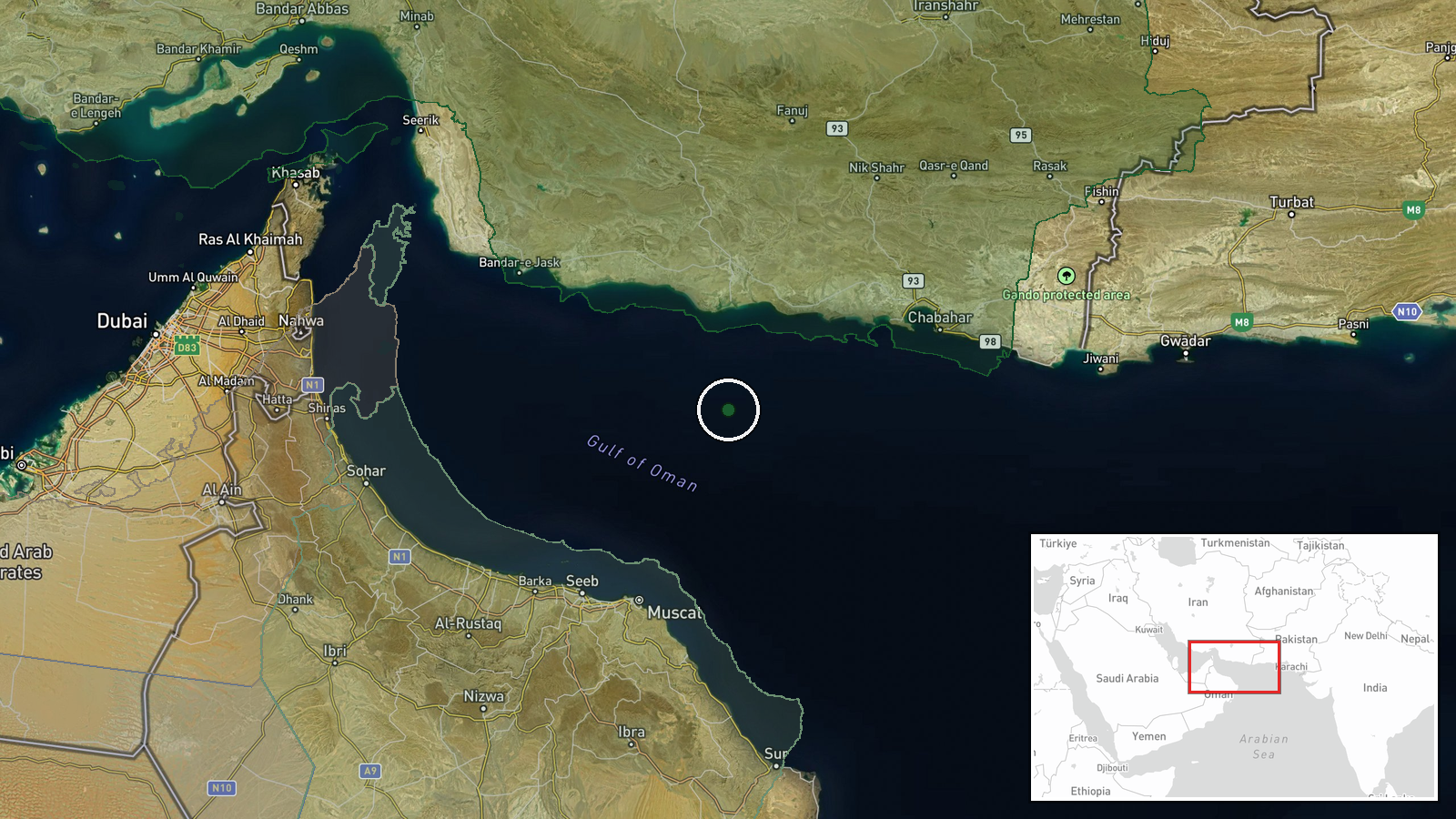
The incident was reported as occurring east of the Strait of Hormuz in the Persian Gulf, placing it in contested international waters and airspace. The approximate coordinates (24.8°N, 59.2°E) center on the maritime approaches to the Hormuz Strait in a region where U.S. naval and air operations intersect with Iranian air defense zones. Precision is regional rather than point-specific, reflecting the open-water environment and typical reporting ambiguity for maritime air incidents.
▶ View this event on the live map
Intel Mapper aggregates open-source reports from monitored Telegram and X channels, geolocates them, cross-checks duplicates across sources and assigns a confidence score. Entries are updated as new confirmations arrive. Read how we verify events.