Yemen Government forces report ongoing clashes with Houthis at Kahbub in Bab el-Mandeb
What happened
The Amalika Brigade, aligned with the internationally recognized Yemeni government, reported active combat with Houthi forces at the Kahbub position within the Bab el-Mandeb Strait on 16 September. The report, posted in Turkish on social media, indicated tactical clashes were continuing at this location. No casualty figures or specific outcome details were provided in the statement.
Context and assessment
Kahbub sits within the Bab el-Mandeb Strait, one of the world's most critical maritime chokepoints linking the Red Sea to the Gulf of Aden and Indian Ocean. Control of positions along this passage is strategically vital for both blockade capabilities and protection of commercial shipping. The reported clashes align with a broader pattern of Houthi escalation in the Red Sea; a related report from 15 September documented Houthi naval mining operations in the same strait, suggesting coordinated pressure on maritime traffic and government-held positions. The Amalika Brigade's presence at Kahbub reflects Yemen's fragmented conflict, with multiple armed factions competing for control of key terrain.
Sources and confidence
Reported solely by X account @ConflictTR posting in Turkish, citing the Amalika Brigade directly. Single-source reporting with no corroborating confirmation from other monitors or international agencies detected. Confidence score of 6.0 reflects limited sourcing; cross-confirmation from Yemeni government sources, rival factions, or maritime observers would substantially strengthen assessment. Alternative or contradictory claims from Houthi sources would lower confidence.
Location
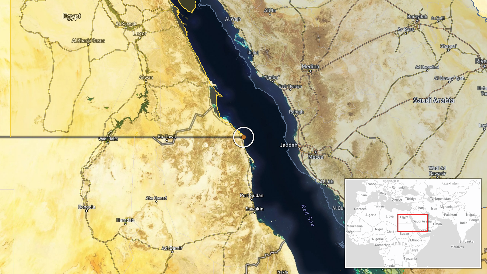
Bab el-Mandeb Strait, Red Sea, between Yemen and Djibouti. The Kahbub position is referenced without precise coordinates; geographic precision marked as regional due to limited specificity. The strait itself is approximately 30 kilometers wide at its narrowest point and represents the southern entrance to the Red Sea, with strategic importance tied to global shipping lanes.
Related events nearby
- Houthi forces claimed interception of two Saudi F-15 fighter jets over Taiz Governorate using locally-made sur2026-09-16 17:14 UTC · Air Defense · Taiz Governorate, Yemen
- Yemeni government forces destroyed a Houthi vehicle with an ATGM strike in western Taiz Governorate.2026-09-16 15:10 UTC · Combat · West Taiz, Taiz Governorate, Yemen
▶ View this event on the live map
Intel Mapper aggregates open-source reports from monitored Telegram and X channels, geolocates them, cross-checks duplicates across sources and assigns a confidence score. Entries are updated as new confirmations arrive. Read how we verify events.