Ukrainian drones reportedly destroy Russian fuel and ammunition depot in Belgorod Oblast
What happened
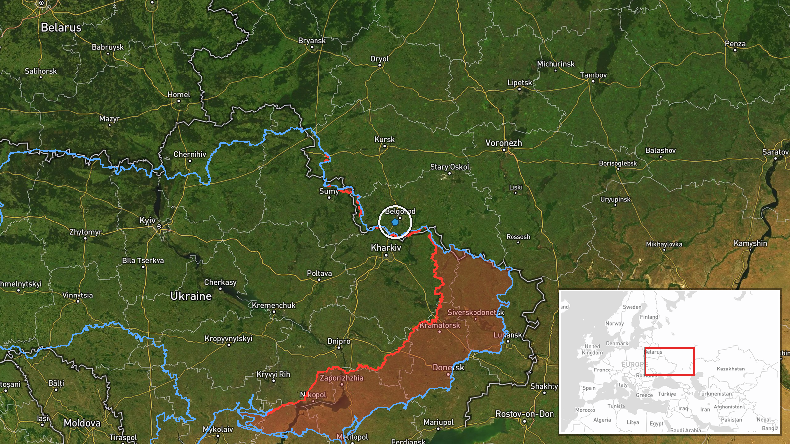
Ukrainian unmanned aerial vehicles reportedly destroyed a Russian military fuel and ammunition depot on September 20, according to a report shared on X by the @ConflictTR account. The depot's exact location within Belgorod Oblast has not been independently confirmed. The source states the facility was completely destroyed, though no damage assessment or photographic evidence was provided in the available report.
Context and assessment
Belgorod Oblast, located directly north of Ukraine's Sumy and Kharkiv regions, has been a persistent target for Ukrainian long-range drone strikes throughout 2026. Fuel and ammunition depots are critical logistics nodes supporting Russian ground operations, and their destruction degrades supply lines to frontline forces. This strike, if confirmed, follows a pattern of Ukrainian deep-strike operations into western Russian territory. A Shahed-class drone was detected over nearby Sumy on September 19, suggesting heightened Ukrainian reconnaissance and strike activity in the region during this period. Sustained pressure on Russian logistical infrastructure may reflect Ukrainian efforts to constrain offensive capability ahead of potential winter operations.
Sources and confidence
Single source report from X account @ConflictTR on September 20. No cross-confirmation from Ukrainian official channels, Russian acknowledgment, or visual evidence provided. Confidence score of 6.0 reflects low source count and unverified claim of complete destruction. Confirmation would require independent damage assessment, satellite imagery, or corroborating reports from multiple outlets.
Location
Belgorod Oblast, Russia, near coordinates 50.52°N 36.46°E, though precise facility location is unconfirmed. The oblast borders Ukraine's Sumy region to the south and Kharkiv region to the southwest, making it a frequent target zone for Ukrainian strikes. The coordinates provided carry low geographic precision and should be treated as approximate.
Related events nearby
- One Russian jet-powered Shahed-class kamikaze drone detected transiting over Sumy city sector. Drone in flight2026-09-19 16:42 UTC · Drone Transit · Sumy, Sumy Oblast, Ukraine
▶ View this event on the live map
Intel Mapper aggregates open-source reports from monitored Telegram and X channels, geolocates them, cross-checks duplicates across sources and assigns a confidence score. Entries are updated as new confirmations arrive. Read how we verify events.