Iran claims IRGC shot down U.S. MQ-1 Predator drone over Hormozgan
What happened
Iran's Islamic Revolutionary Guard Corps announced on September 21 that it had shot down a U.S. MQ-1 Predator unmanned aerial vehicle over Hormozgan Province in southern Iran. The claim was reported via social media by Turkish conflict monitoring account @ConflictTR. The U.S. origin of the aircraft and the operational context of its presence in Iranian airspace have not been confirmed by Western military or government sources.
Context and assessment
Hormozgan Province lies along Iran's strategic southern coast bordering the Persian Gulf, a region of significant geopolitical importance and frequent military activity. The Strait of Hormuz, one of the world's most critical maritime chokepoints, transits through this province. Drone incidents in this area typically relate to broader U.S.–Iran tensions over regional operations and intelligence gathering. The MQ-1 Predator is a long-range surveillance and strike platform often deployed for reconnaissance missions. Without Western confirmation or details on where the drone originated or what it was monitoring, the incident's operational significance remains unclear, though such claims reflect ongoing military posturing in the Gulf region.
Sources and confidence
Reported by @ConflictTR via X (formerly Twitter), a Turkish open-source intelligence account. No cross-confirmation from U.S. Defense Department, regional allies, or independent verification has been noted. Confidence score of 6.0 reflects a single-source claim from a non-official channel. Confirmation from U.S. military statements or secondary OSINT imagery would substantially raise confidence; denial or silence from Western sources would lower it only marginally without contradictory evidence.
Location
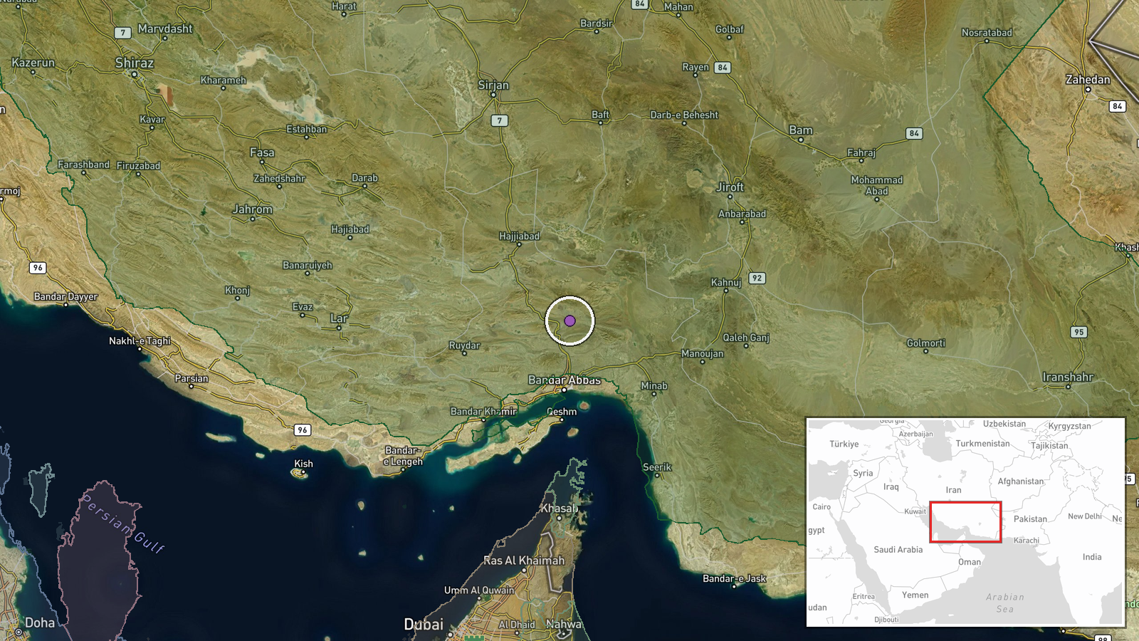
Hormozgan Province, a coastal region in southern Iran bordering the Persian Gulf. Geo-precision extends to provincial level rather than a specific site. The province encompasses the Strait of Hormuz and major maritime and air corridors. No specific airfield, facility, or settlement has been identified as the shootdown location.
▶ View this event on the live map
Intel Mapper aggregates open-source reports from monitored Telegram and X channels, geolocates them, cross-checks duplicates across sources and assigns a confidence score. Entries are updated as new confirmations arrive. Read how we verify events.