Turkish military conducts combined UAV-fighter operations in Aegean Sea
What happened
Turkish armed forces reportedly conducted coordinated military operations in the Aegean Sea involving unmanned aerial vehicles and F-16 fighter jets operating simultaneously, according to a post on X attributed to Greek media outlet OnAlert. The report indicates Greek air defense and pilot response procedures faced challenges in tracking the combined drone-fighter coordination, and suggested Turkish pilots were being directed to respond as needed within broader tactical parameters.
Context and assessment
The Aegean Sea remains a zone of persistent tension between Turkey and Greece, with both nations conducting regular military activities in disputed and contested waters. Combined operations integrating UAVs with crewed fighters represent a modern tactical approach increasingly adopted across militaries in the Eastern Mediterranean. This operation may reflect either a training exercise to test interoperability of mixed platforms or operational posturing during a period of elevated regional tensions. The specific claim about Greek air defense tracking difficulties would suggest the coordination was deliberate rather than routine patrol activity, though the operational intent remains unclear from available reporting.
Sources and confidence
Single source via X account attributed to Greek media. No cross-confirmation from Turkish defense sources, NATO allies, or independent verification available. Confidence remains low due to single-channel reporting and lack of corroboration. Official statements from Turkish or Greek defense ministries would significantly strengthen assessment. Direct observation or NATO confirmation would be required to elevate confidence substantially.
Location
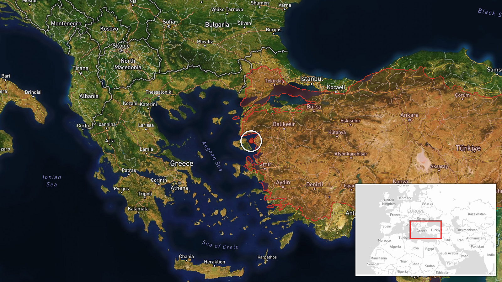
The Aegean Sea region between Turkey and Greece, coordinates indicating central Aegean waters. The area comprises international and contested maritime space between the two NATO member states, with numerous Greek islands and Turkish coastal territories nearby. Precise location of operations cannot be determined from available data.
▶ View this event on the live map
Intel Mapper aggregates open-source reports from monitored Telegram and X channels, geolocates them, cross-checks duplicates across sources and assigns a confidence score. Entries are updated as new confirmations arrive. Read how we verify events.