SAF shoots down RSF Chinese-made CH-95 drone over Khartoum
What happened
Sudan Armed Forces (SAF) reportedly shot down a Chinese-manufactured CH-95 unmanned aerial vehicle operated by the Rapid Support Forces (RSF), according to reporting on 22 September. The RSF drone is reported to be UAE-backed. Wreckage from the aircraft was documented and photographed, though specific details of the engagement and exact impact location remain limited in available reporting.
Context and assessment
Khartoum and its surrounding region have remained contested territory throughout Sudan's conflict, with SAF and RSF forces engaged in ongoing competition for control of the capital and its approaches. Drone operations by the RSF have been a recurring feature of the conflict, with various reports of Chinese-made unmanned systems deployed by the group. The shootdown, if confirmed, would reflect continued air defence efforts by SAF forces in the central region. The pattern of drone employment and air defence activity typically indicates operational attempts by both sides to maintain surveillance and strike capabilities in contested zones.
Sources and confidence
Single source report from X (@ConflictTR). No independent cross-confirmation noted. Confidence score reflects limited source corroboration and single-channel reporting. Confidence would increase with independent verification from additional conflict monitors or official statements; would decrease if wreckage documentation proves inconsistent with CH-95 specifications.
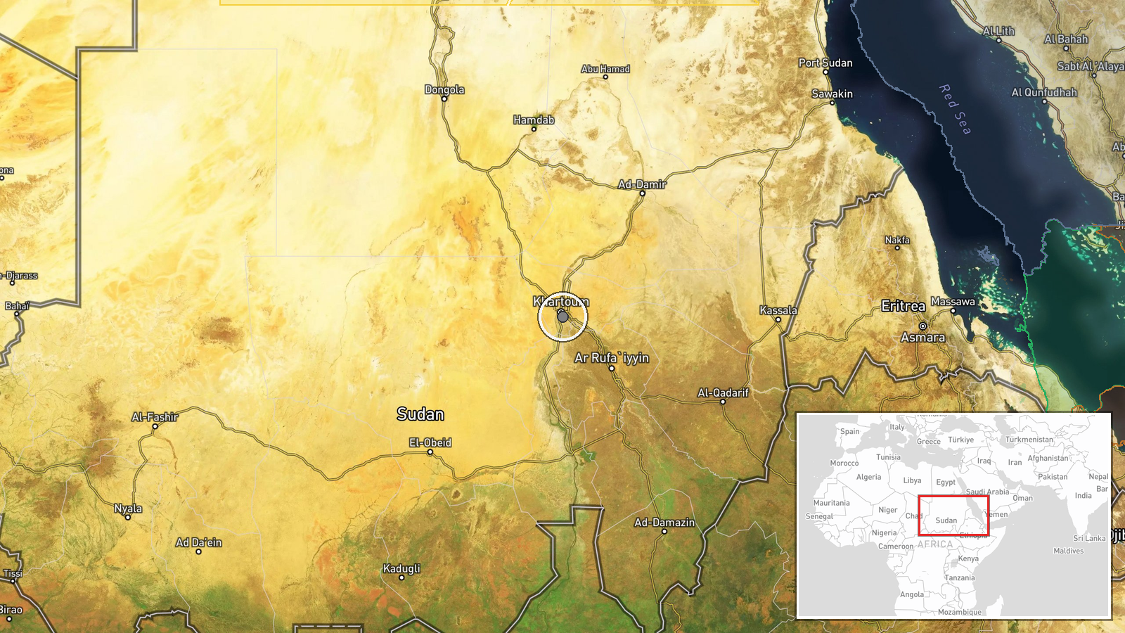
Location
Khartoum region, Sudan's capital, located at the confluence of the White and Blue Nile rivers in central Sudan. Geo-precision marked as regional due to limited specificity in source material. The city has been a focal point of SAF-RSF competition throughout the conflict.
▶ View this event on the live map
Intel Mapper aggregates open-source reports from monitored Telegram and X channels, geolocates them, cross-checks duplicates across sources and assigns a confidence score. Entries are updated as new confirmations arrive. Read how we verify events.