Saudi Civil Defense issues early warning alarm in Taif
What happened
Saudi Arabia's Civil Defense Directorate issued an early warning alarm in Taif on September 24, reportedly in response to a potential threat. The alert was disseminated through official channels, though no immediate details were provided about the nature or source of the threat. Taif, located in the Mecca Region of western Saudi Arabia, is home to approximately two million residents and serves as a major administrative and commercial center.
Context and assessment
Taif has been the target of drone and missile strikes in recent years, primarily by Houthi forces operating from Yemen. The city's proximity to Mecca, Saudi Arabia's holiest site, and its role as a regional hub make it strategically significant. Early warning systems have become a standard precaution across Saudi Arabia's populated centers as cross-border threats from Yemen have persisted. The lack of immediate details in this alert may indicate either a precautionary measure or an ongoing assessment of threat information. Such sirens typically signal either confirmed or credible intelligence of an incoming aerial attack.
Sources and confidence
This report originates from a single source: the X account @ConflictTR, citing the Saudi Civil Defense Directorate's official announcement. The confidence score of 6.0 reflects the single-source reporting and absence of corroborating accounts from other monitries or regional outlets. Cross-confirmation from Saudi state media or additional open-source channels would strengthen confidence. The high location confidence stems from the official source naming Taif specifically.
Location
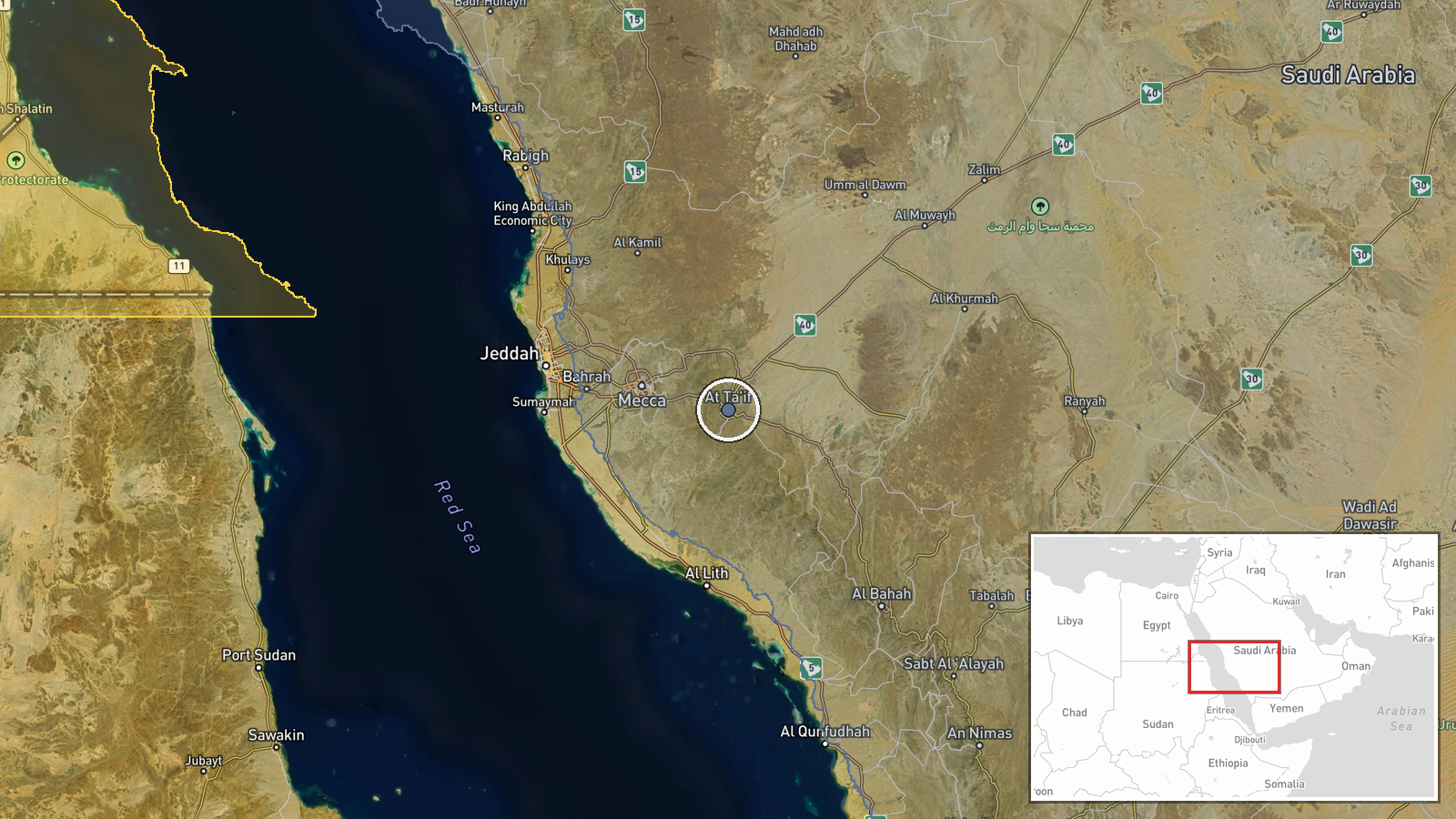
Taif is located in Saudi Arabia's Mecca Region at approximately 21.27°N, 40.42°E, approximately 75 kilometers southeast of Mecca. The city sits in the Sarawat Mountains at roughly 1,500 meters elevation, distinguishing it climatically from lower-lying Red Sea coastal areas. It serves as a regional administrative center and commercial hub.
▶ View this event on the live map
Intel Mapper aggregates open-source reports from monitored Telegram and X channels, geolocates them, cross-checks duplicates across sources and assigns a confidence score. Entries are updated as new confirmations arrive. Read how we verify events.