Najaf Airport suspends all flights to and from Iran
What happened
Najaf International Airport's management announced the immediate suspension of all flights to and from Iran, effective from dawn on 25 September 2026. The announcement was made via the airport's official channels. No stated reason for the suspension was provided in available reports. The measure affects commercial air traffic between Iraq and Iran at one of southern Iraq's major aviation hubs.
Context and assessment
Najaf, home to Iraq's second-largest airport and a city of significant Shia religious importance, has historically served as a key transit point for travel between Iraq and Iran. Flight suspensions between the two countries typically reflect periods of heightened tensions or security concerns. Such closures can indicate diplomatic strain, security threats, or operational coordination between Iraqi authorities and regional actors. The measure's breadth—affecting all Iran-bound and Iran-originating traffic—suggests a comprehensive policy decision rather than a temporary precaution.
Sources and confidence
Reported by conflict monitoring account @ConflictTR on X (formerly Twitter). Single-source reporting with no cross-confirmation from Iraqi aviation authorities, Iranian sources, or international aviation bodies documented. Confidence score of 6.0 reflects limited independent verification. Confirmation from official Iraqi Civil Aviation Authority statements or multiple independent news agencies would strengthen confidence.
Location
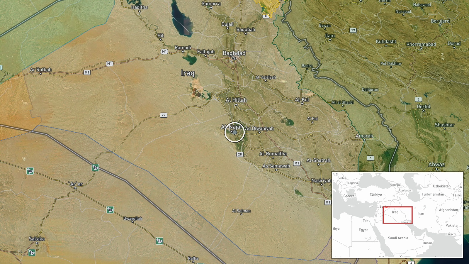
Najaf International Airport, located approximately 240 kilometres south of Baghdad in Najaf Governorate, southern Iraq. The airport serves as a major regional hub for the city's Shia pilgrimage tourism and commercial aviation. It lies near the Euphrates River in Iraq's relatively stable southern region, distinct from conflict zones further north.
▶ View this event on the live map
Intel Mapper aggregates open-source reports from monitored Telegram and X channels, geolocates them, cross-checks duplicates across sources and assigns a confidence score. Entries are updated as new confirmations arrive. Read how we verify events.