Israeli troops hold Jewish holiday observance at Golan Heights checkpoint
What happened
Israeli military personnel established a festive tent at a checkpoint in the Israeli-controlled Golan Heights on September 25 to observe a Jewish holiday. The report, posted on X by @ConflictTR, offers limited detail on the specific holiday being marked or the scale of the observance. The checkpoint location suggests a security or administrative facility within Israeli-held territory.
Context and assessment
The event occurs amid heightened rhetorical tension over the Golan Heights' status. On September 24, Syrian President Ahmad al-Sharaa reasserted Syrian sovereignty over the plateau at the UN, while Israeli Prime Minister Netanyahu responded by invoking historical Jewish claims to the territory. Separately, Israeli military operations in the broader region intensified on September 25, including a patrol incursion into Wadi al-Raqqad near Daraa and an airstrike in South Lebanon. The holiday observance may reflect routine military practice, though the timing—during a period of elevated diplomatic and military activity—draws attention to Israel's administrative presence and normalization of control over the disputed territory.
Sources and confidence
Single source: X account @ConflictTR, which covers regional conflicts. No cross-confirmation from other channels or Israeli military statements. Confidence score of 6.0 reflects limited reporting and single-source basis. Confirmation would benefit from Israeli military acknowledgment, independent imagery, or corroboration from additional regional monitors.
Location
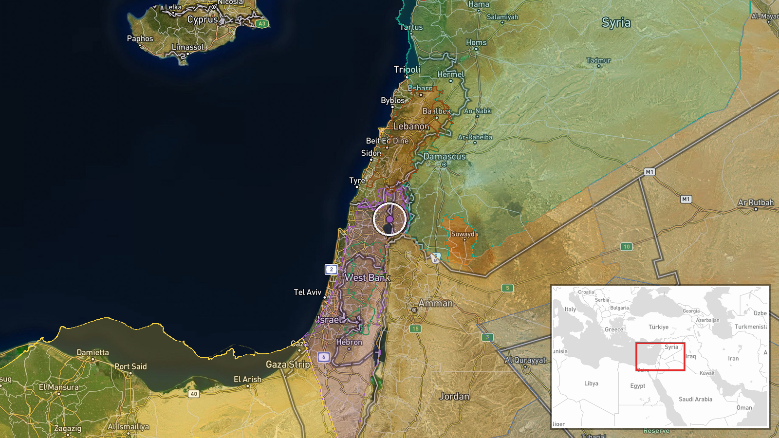
Israeli-controlled Golan Heights, determined at regional precision level (coordinates 32.93°N, 35.61°E). The Golan Heights is a plateau between Syria and Israel, captured by Israel in 1967 and occupied ever since. The specific checkpoint location within the plateau remains unidentified. The territory's strategic elevation overlooks the Sea of Galilee and northern Israel to the west and Syrian territory to the east.
Related events nearby
- Syrian President Ahmad al-Sharaa reaffirmed Syrian sovereignty over the Golan Heights at the UN. Israel respon2026-09-24 18:56 UTC · Statement · Golan Heights, Syria-Israel Border
- Netanyahu addresses Syrian leadership (al-Sharaa), claiming Jewish historical presence in the Golan Heights si2026-09-24 18:20 UTC · Statement · Golan Heights, Syria-Israel Border
- Israeli occupation forces patrol unit advanced into Wadi al-Raqqad west of Daraa, firing weapons indiscriminat2026-09-25 09:53 UTC · Security · Wadi al-Raqqad, Daraa, Syria
- Israeli warplanes conducted an airstrike on Bani Hayyan in Marjeyoun district, southern Lebanon.2026-09-25 11:40 UTC · Airstrike · Bani Hayyan, Marjeyoun, South Lebanon
- Syrian Anti-Narcotics Administration intercepted 24 kg of hashish and 113 bottles of psychotropic substances b2026-09-25 16:14 UTC · Security · Damascus, Syria
▶ View this event on the live map
Intel Mapper aggregates open-source reports from monitored Telegram and X channels, geolocates them, cross-checks duplicates across sources and assigns a confidence score. Entries are updated as new confirmations arrive. Read how we verify events.