Turkish, Italian, Greek navies conduct joint NATO exercise in Marmara Sea
What happened
The Turkish corvette TCG Burgazada participated in a NATO joint naval exercise conducted by Turkey, Italy, and Greece in the Marmara Sea region on 27 September. The exercise brought together surface combatants from three NATO allies for coordinated operations in the strategic waterway connecting the Black Sea to the Aegean. No operational details regarding exercise objectives or duration were provided in the initial report.
Context and assessment
The Marmara Sea remains a vital NATO transit corridor and has seen increased naval activity as alliance members strengthen interoperability in response to regional tensions. Turkey, as the strait-controlling power, regularly hosts multinational exercises to coordinate allied naval capabilities and maintain freedom of navigation. The participation of Italian and Greek vessels alongside Turkish units underscores NATO's commitment to collective maritime security in the Eastern Mediterranean and Black Sea approaches. Such exercises typically involve communications drills, formation manoeuvres, and tactical coordination designed to enhance operational effectiveness among allied forces.
Sources and confidence
Reported by the X account @ConflictTR on 27 September. The account provides daily conflict and military updates focused on Turkey and the region. Confidence is moderate (6.0/10) due to single-source reporting and lack of corroborating statements from NATO command or national defence ministries. Confirmation from official Turkish, Italian, or Greek military sources would substantially increase confidence.
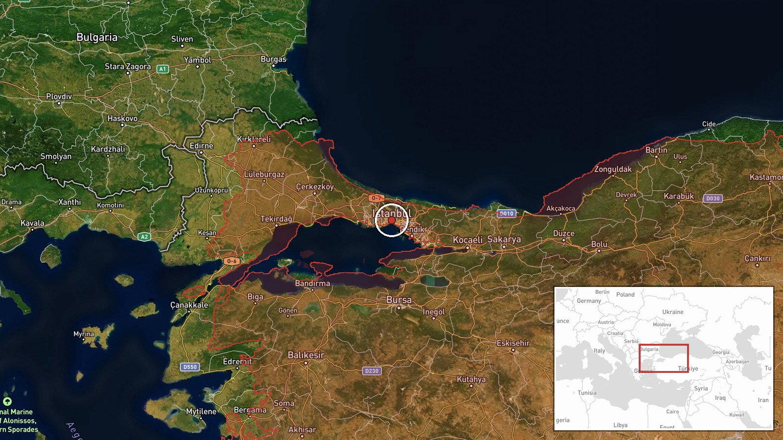
Location
The Marmara Sea, the inland waterway bounded by Turkey's European and Asian coastlines, connecting the Dardanelles Strait to the Black Sea. The region designation indicates the exercise occurred somewhere within this approximately 280-kilometre-long body of water. The precise location within the sea was not specified in available reporting.
▶ View this event on the live map
Intel Mapper aggregates open-source reports from monitored Telegram and X channels, geolocates them, cross-checks duplicates across sources and assigns a confidence score. Entries are updated as new confirmations arrive. Read how we verify events.