Google Maps updates satellite imagery revealing scale of Gaza destruction
What happened
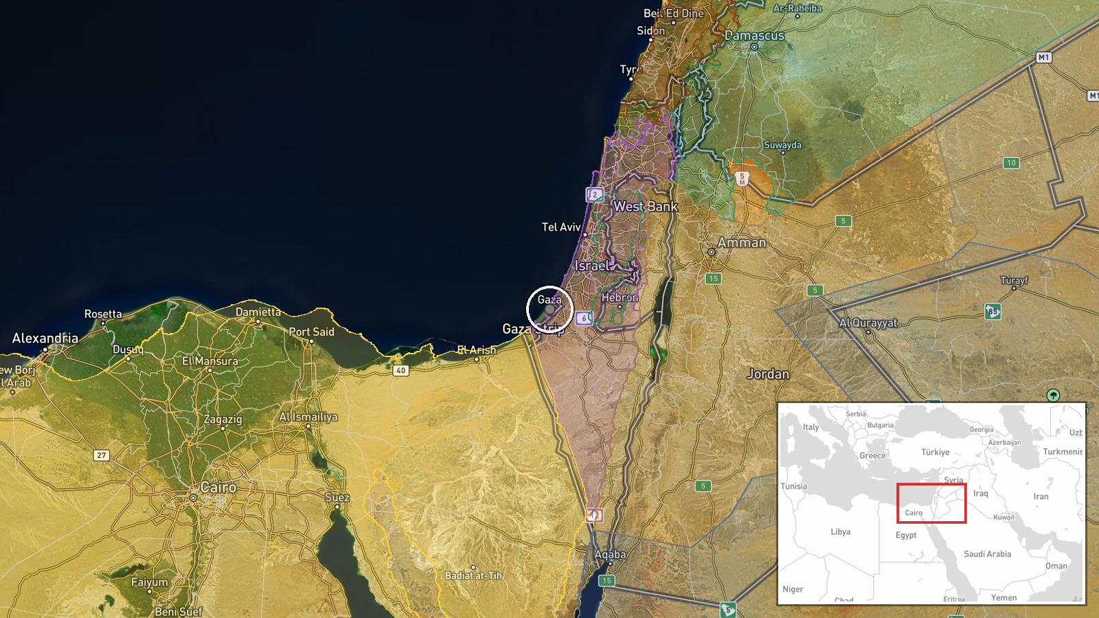
Google Maps has updated its satellite imagery covering the Middle East, with new images reportedly showing the extent of destruction across the Gaza Strip. The update was announced via social media on 27 September 2026. The imagery allows visual documentation of damage patterns across the territory, though the report does not specify which areas received the most recent satellite coverage or when the images were captured.
Context and assessment
The timing of the satellite imagery update coincides with ongoing documentation of Gaza's humanitarian situation. A day earlier, Gaza authorities reported 262 journalists killed and over 433 wounded since October 2023, underscoring the conflict's sustained impact on civilian infrastructure and media capacity. Updated satellite imagery provides independent visual evidence of urban damage patterns that can corroborate ground-level casualty and displacement reports. Such commercial satellite updates are periodically released and may reflect either routine refresh cycles or responses to international attention on conflict-affected areas. The imagery becomes a reference point for assessing reconstruction needs and documenting changes in the territory's physical landscape.
Sources and confidence
Reported via X account @ConflictTR on 27 September. Single-source reporting limits independent verification of specific imagery update timing and coverage. Confidence score of 6.0 reflects the straightforward nature of the claim—Google's satellite imagery updates are documented public events—balanced against reliance on one social media account. Confirmation from Google's official channels or geospatial analysis outlets would strengthen confidence.
Location
Gaza Strip, entire territory. Coordinates indicate regional coverage rather than a specific strike or site. The strip, roughly 41 kilometers long and 10 kilometers wide, lies between Israel and Egypt along the Mediterranean coast. Satellite imagery typically covers the full territory, including dense urban areas in Gaza City and Khan Yunis and less developed southern regions.
Related events nearby
- Gaza government reports 262 journalists killed and 433+ wounded in Israeli operations since October 2023. Casu2026-09-26 20:18 UTC · Report · Gaza Strip, Palestine
- Israeli Finance Minister Bezalel Smotrich proposes applying West Bank settlement policies to Galilee and Negev2026-09-27 12:08 UTC · Statement · Jerusalem, Israel
- Israeli Prime Minister Benjamin Netanyahu travels to the UAE for a meeting with President Mohamed bin Zayed (M2026-09-27 18:52 UTC · Diplomacy · Jerusalem, Israel
- Israel revokes diplomatic status of Dutch diplomats in Ramallah in response to Netherlands ban on West Bank, E2026-09-27 18:05 UTC · Diplomacy · Ramallah, West Bank
- Israel's 'Blue Line' mapping team reclassifies Palestinian land in Area C as Israeli 'state land' for settleme2026-09-27 08:13 UTC · Statement · West Bank, Palestine
▶ View this event on the live map
Intel Mapper aggregates open-source reports from monitored Telegram and X channels, geolocates them, cross-checks duplicates across sources and assigns a confidence score. Entries are updated as new confirmations arrive. Read how we verify events.