Israeli forces set hundreds of olive trees on fire in West Bank village
What happened
Israeli forces reportedly set fire to hundreds of olive trees in Deir al-Hatab, a Palestinian village west of Nablus in the West Bank, according to a report shared on X by @ConflictTR on 1 October 2026. The report does not specify whether the fires were set deliberately or by accident, stating only that the cause remains under investigation. No details were provided regarding the extent of damage or whether any personnel were involved in containing the fires.
Context and assessment
Olive cultivation is a cornerstone of Palestinian agriculture and economy, particularly in the West Bank. Deir al-Hatab lies in an agricultural area west of Nablus, a major Palestinian city in the northern West Bank. Incidents involving damage to Palestinian crops and orchards have been a recurring point of tension during periods of heightened Israeli-Palestinian activity. The reported incident comes amid broader security developments in the region, including unrelated incidents at Israeli transportation hubs. Such agricultural disruptions, whether deliberate or accidental, typically escalate local grievances and can contribute to cycles of tension.
Sources and confidence
Single source reporting via X account @ConflictTR; no cross-confirmation from other channels noted. Low confidence score of 6.0 reflects reliance on single channel and lack of corroborating reports from Israeli or Palestinian authorities, international monitors, or additional news agencies. Confirmation from ground observers, Palestinian agricultural authorities, or Israeli military statements would raise confidence significantly.
Location
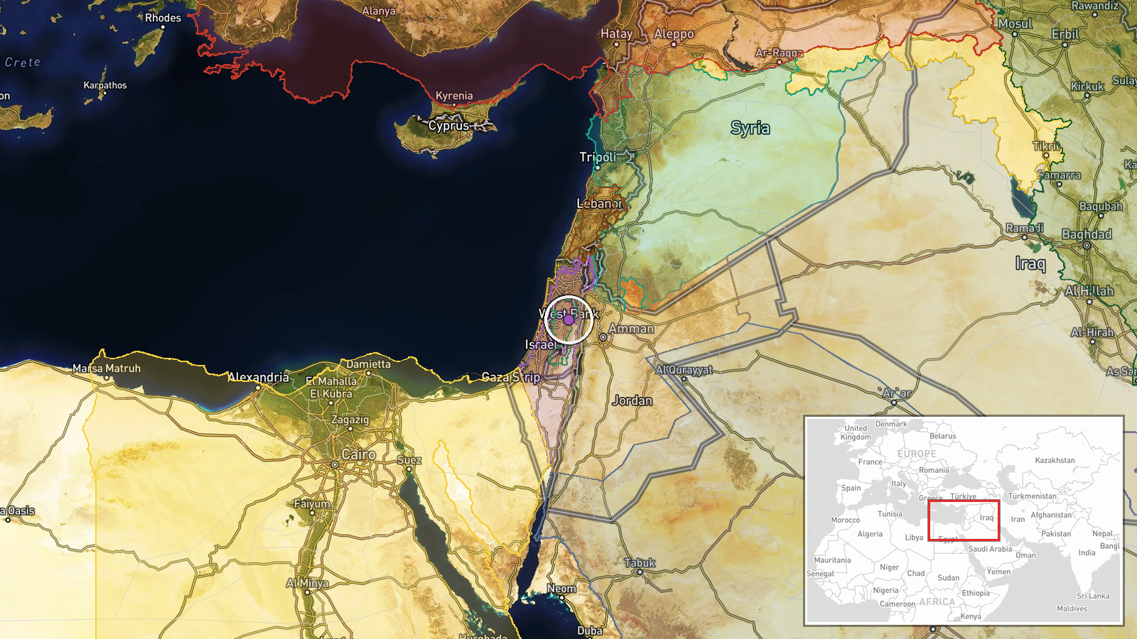
Deir al-Hatab is a Palestinian village situated approximately 15 kilometres west of Nablus in the northern West Bank. The settlement lies in a predominantly agricultural region known for olive and citrus cultivation. Geo-precision is classified as regional rather than precise, reflecting uncertainty in exact location of the affected trees within or near the village.
Related events nearby
- FlyDubai FZ1073 replacement aircraft carrying Israeli passengers landed safely at Ben Gurion Airport, Tel Aviv2026-09-30 15:44 UTC · Airspace Closure · Ben Gurion Airport, Tel Aviv, Israel
- Saudi Arabia rejected Israel's request to allow Israeli passengers on FlyDubai FZ1073 to be evacuated via Isra2026-09-30 12:41 UTC · Deployment · Ben Gurion Airport, Tel Aviv, Israel
- FlyDubai flight Dubai–Tel Aviv with 180 passengers experienced cockpit altercation between Russian and Ukraini2026-09-30 08:14 UTC · Security · Ben Gurion Airport, Tel Aviv, Israel
- Israeli Transportation Minister Miri Regev announces that Israel Airports Authority will provide shuttle servi2026-09-30 15:56 UTC · Statement · Ben Gurion Airport, Tel Aviv, Israel
- Netanyahu claims Iran is developing nuclear weapons and delivery systems targeting U.S. cities, stating the pr2026-10-01 05:39 UTC · Statement · Jerusalem, Israel
▶ View this event on the live map
Intel Mapper aggregates open-source reports from monitored Telegram and X channels, geolocates them, cross-checks duplicates across sources and assigns a confidence score. Entries are updated as new confirmations arrive. Read how we verify events.