Satellite imagery documents extensive destruction across Rafah, Gaza, 2022–2026
What happened
Satellite imagery analysis reportedly documents widespread destruction in Rafah, the southernmost city of the Gaza Strip, spanning from 2022 to 2026. Visual comparison of satellite images shows extensive damage to urban infrastructure and residential areas. The report was posted on X by the @ConflictTR account on 2 October 2026. The analysis relies on before-and-after imagery to demonstrate the scale of physical damage in the settlement.
Context and assessment
Rafah has remained a focal point of Israeli military operations throughout the reported period, particularly during intensified campaigns in southern Gaza. The city sits at the border with Egypt and has historically served as a civilian refuge during conflict. Damage documentation of this scale reflects the sustained nature of operations in Gaza's southernmost region. Recent related reports on 2 October show concurrent Israeli strikes in Khan Younis and Gaza City, suggesting ongoing operational tempo across multiple southern Gaza locations. Imagery-based damage assessments provide spatial records of infrastructure loss, though full assessment of causes, timing distribution, and civilian-military site differentiation requires additional context.
Sources and confidence
Single source: X account @ConflictTR posted the satellite imagery analysis. No cross-confirmation from independent imagery analysts or other channels reported in available data. Confidence score of 6.0 reflects single-source reporting. Confirmation would strengthen with satellite analysis from organizations like Maxar Technologies, UNOSAT, or other open-source intelligence groups; clarification of imagery dates and specific damage categories would raise confidence further.
Location
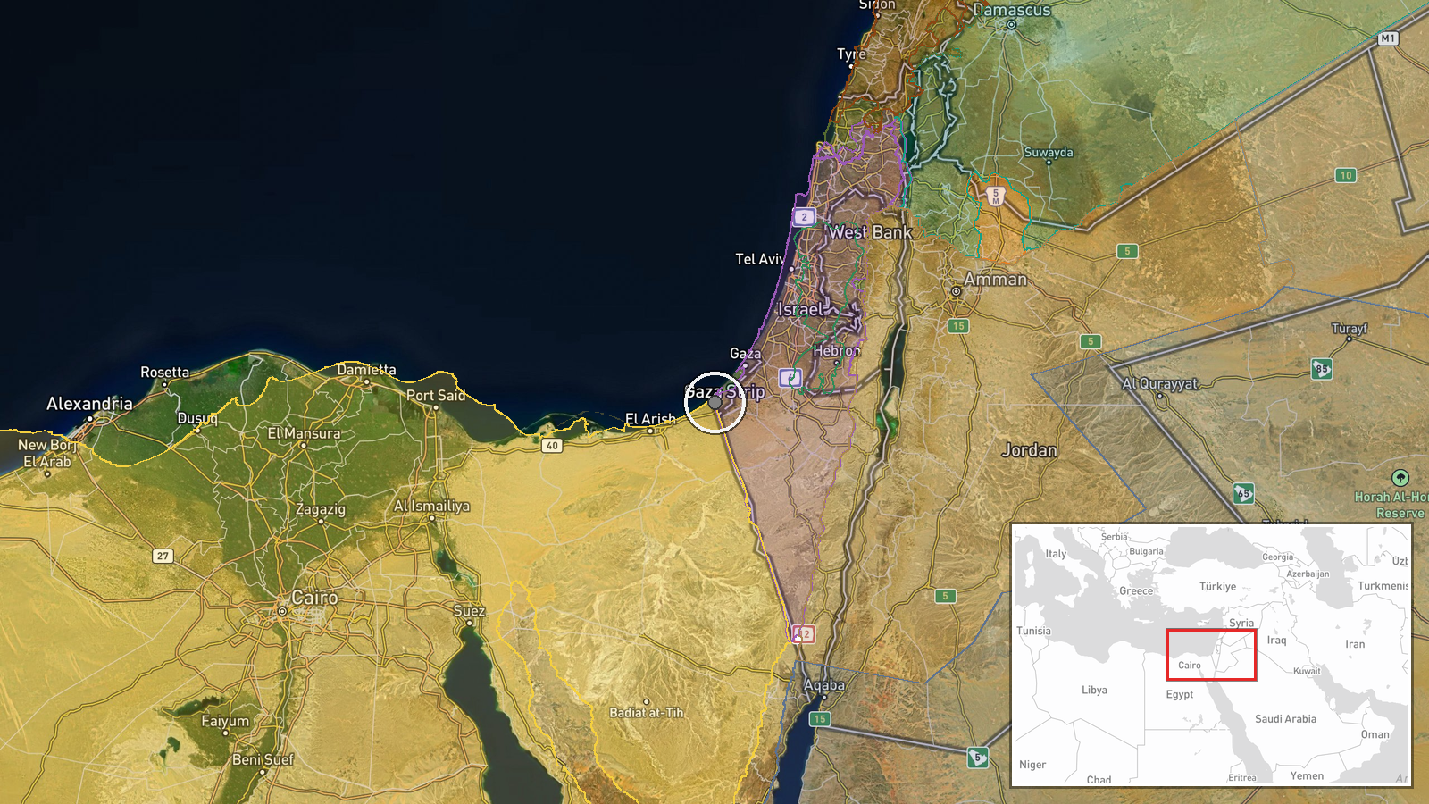
Rafah, southern Gaza Strip, at approximately 31.30°N, 34.24°E. The city is located in Gaza's southernmost district, bordering Egypt's Sinai Peninsula to the south and west. It has served historically as a population center and refuge area. Precision is settlement-level based on available geographic data.
Related events nearby
- Israeli forces conducted approximately 9,000 raids on Al-Aqsa Mosque compound over the past 6 days, according 2026-10-01 19:30 UTC · Security · Al-Aqsa Mosque, Jerusalem, Israel/Palestine
- Former Netanyahu adviser Ran Baratz states that Turkish-backed removal of Assad was strategically disadvantage2026-10-02 11:57 UTC · Statement · Jerusalem, Israel
- Netanyahu threatens severe consequences against whoever sent a pilot (likely referencing a downed Israeli airc2026-10-02 12:52 UTC · Statement · Jerusalem, Israel
- Israeli forces detained Palestinian workers from their workplaces in the West Bank and transported them in a l2026-10-02 06:05 UTC · Security · West Bank, Palestinian Territories
- Israeli light aircraft crashed in northern Israel. One Israeli occupant confirmed dead. Cause of crash under i2026-10-02 07:10 UTC · Aircraft Shootdown · Kafr Qud, Northern District, Israel
▶ View this event on the live map
Intel Mapper aggregates open-source reports from monitored Telegram and X channels, geolocates them, cross-checks duplicates across sources and assigns a confidence score. Entries are updated as new confirmations arrive. Read how we verify events.