Iran reports shooting down Israeli Hermes 450 reconnaissance drone over Kish Island
What happened
Iran claimed to have intercepted and shot down an Israeli-manufactured Hermes 450 unmanned aerial vehicle over Kish Island in the Persian Gulf on 3 October 2026. According to a report from the Turkish news account Conflict TR on X (formerly Twitter), the drone was operating in Iranian airspace when it was engaged. The Hermes 450 is a tactical reconnaissance platform typically used for surveillance missions. No details were provided regarding the circumstances of the interception, the method of engagement, or the drone's mission.
Context and assessment
Kish Island, located in the Persian Gulf roughly 18 kilometres from the Iranian coast, has long held strategic importance for Iranian maritime and air defence operations. The shootdown claim, if verified, would represent a direct air defence engagement in contested airspace and reflects ongoing tensions over surveillance operations in the region. Drone incursions and interceptions have become increasingly routine flash points, with both Israeli and Iranian forces operating reconnaissance assets in and around the Persian Gulf. Such incidents typically signal either an escalation in monitoring activities or a response to perceived violations of sovereign airspace. The specific timing and mission profile of this flight remain unclear from available reporting.
Sources and confidence
The incident was reported solely by Conflict TR, a Turkish conflict monitoring account on X. No cross-confirmation from official Iranian, Israeli, or independent sources has been noted at this stage. The single-source reporting and lack of corroboration account for the moderate confidence score of 6.0. Verification by Iranian military statements, satellite imagery, or international monitoring would substantially raise confidence; conversely, conflicting reports or retractions would lower it.
Location
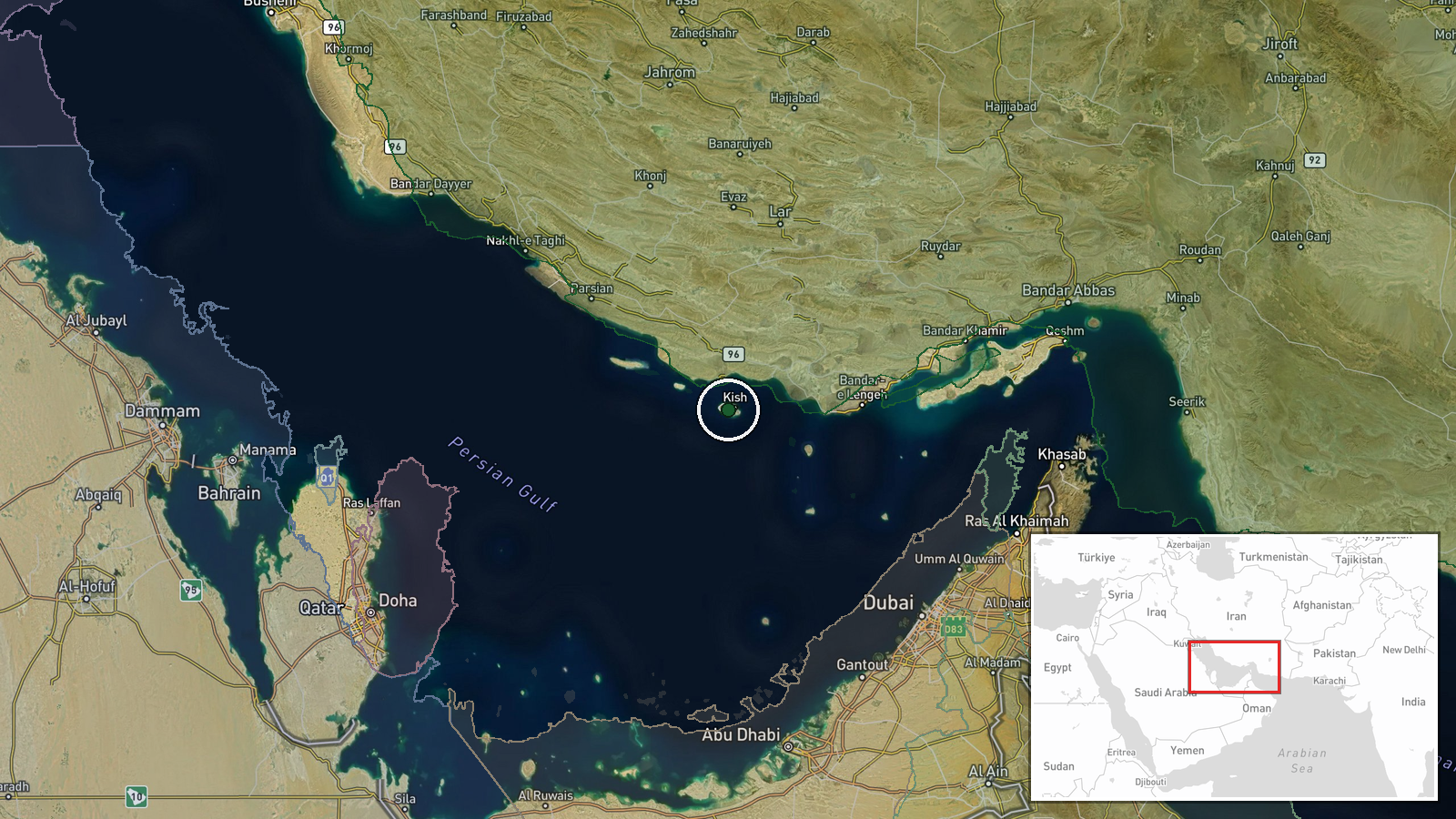
Kish Island is located in the Persian Gulf at approximately 26.53°N, 53.97°E, roughly 18 kilometres south-southwest of the Iranian mainland. The island sits within claimed Iranian territorial waters and airspace. Precision is classified as 'region-level' given the large geographic area and lack of specific impact coordinates in the source material.
▶ View this event on the live map
Intel Mapper aggregates open-source reports from monitored Telegram and X channels, geolocates them, cross-checks duplicates across sources and assigns a confidence score. Entries are updated as new confirmations arrive. Read how we verify events.