Ukrainian MiG-29 destroys Russian Geran drone with air-to-air missile
What happened
A Ukrainian MiG-29 fighter jet reportedly shot down a Russian-made Geran jet-powered attack drone using an R-60M air-to-air missile on 4 October 2026 in eastern Ukraine. The drone was destroyed in the engagement. The report, originating from Turkish-language conflict monitoring, provides no further details on the time, exact location, or context of the interception.
Context and assessment
The engagement fits within a pattern of intensified Russian drone operations and Ukrainian air defense responses. On the same date, Ukrainian air defenses intercepted 123 Shahed-136 and Gerbera drones during an overnight attack comprising 135 total aircraft launched from Russian territory near Oryol. Destruction of attack drones by fighter jets remains a secondary air defense measure; most Ukrainian air defense relies on missile systems and electronic warfare. The use of R-60M air-to-air missiles—short-range infrared guided weapons—against slow, jet-powered drones suggests either opportunity interception or a demonstration of multi-layered defense tactics. The low geographic precision reflects limited source detail.
Sources and confidence
Reported by a single X account (@ConflictTR) focused on Turkish-language conflict monitoring. No cross-confirmation from Ukrainian official sources, NATO intelligence summaries, or other conflict monitors is noted. Confidence is low (6/10) due to single-source reporting and lack of corroboration. Confirmation by Ukrainian Air Force or repeated reporting across independent channels would substantiate the claim.
Location
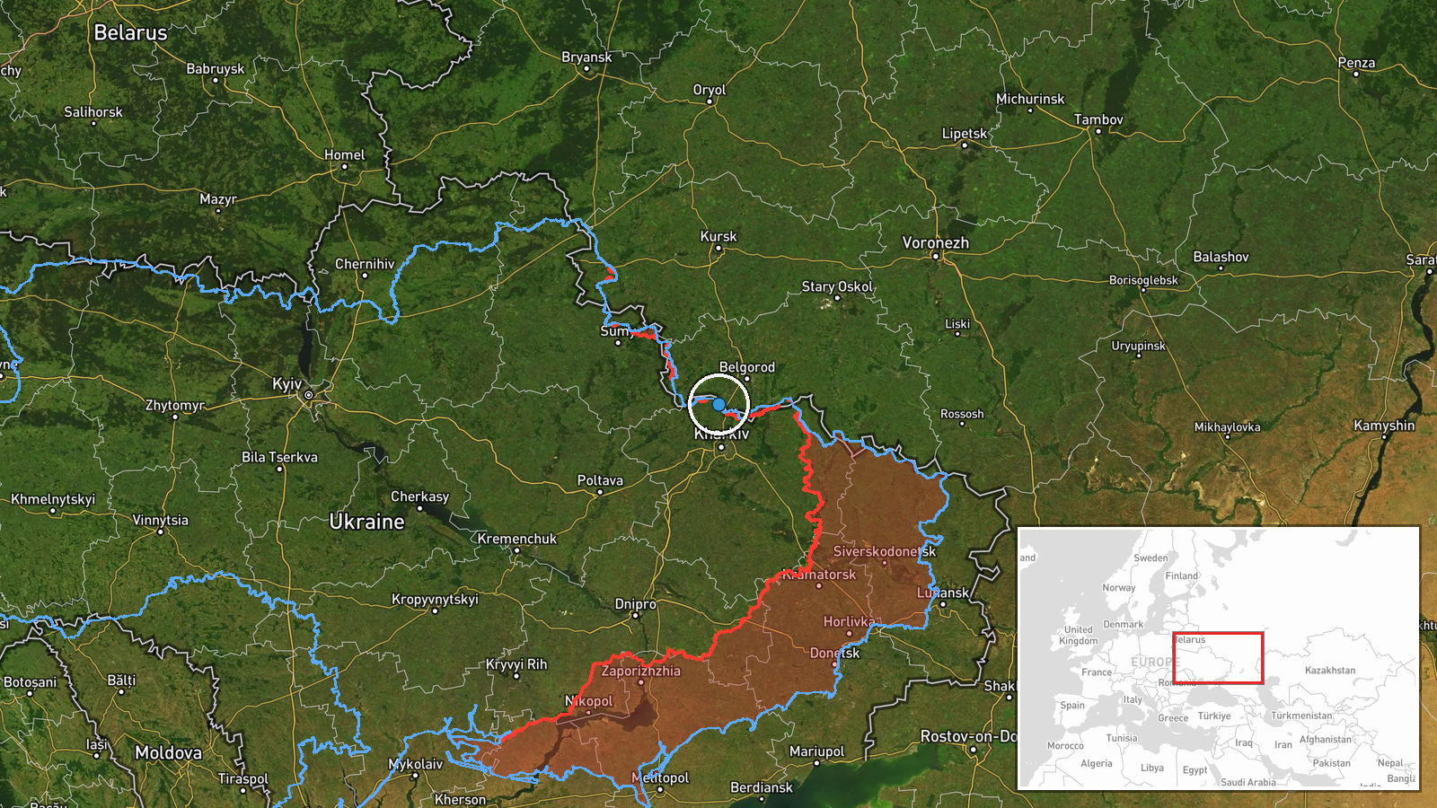
Eastern Ukraine, unspecified location. The regional designation places the event within the broad eastern theater where most air defense activity occurs. The low confidence in geographic precision reflects the source's omission of settlement, facility, or coordinate details. No distinctive geographic markers are identified.
Related events nearby
- Ukrainian air defense systems intercepted 123 Russian Shahed-136 drones, Gerbera drones, and decoy UAVs during2026-10-04 06:09 UTC · Air Defense · Ukraine (Multiple Frontlines)
- Ukrainian unmanned ground vehicle shot down a Russian fiber-optic reconnaissance drone using a net launcher. T2026-10-04 20:38 UTC · Drone Shootdown · Sumy Oblast, Ukraine
▶ View this event on the live map
Intel Mapper aggregates open-source reports from monitored Telegram and X channels, geolocates them, cross-checks duplicates across sources and assigns a confidence score. Entries are updated as new confirmations arrive. Read how we verify events.