Ukrainian drones strike Russian energy infrastructure in Smolensk Oblast
What happened
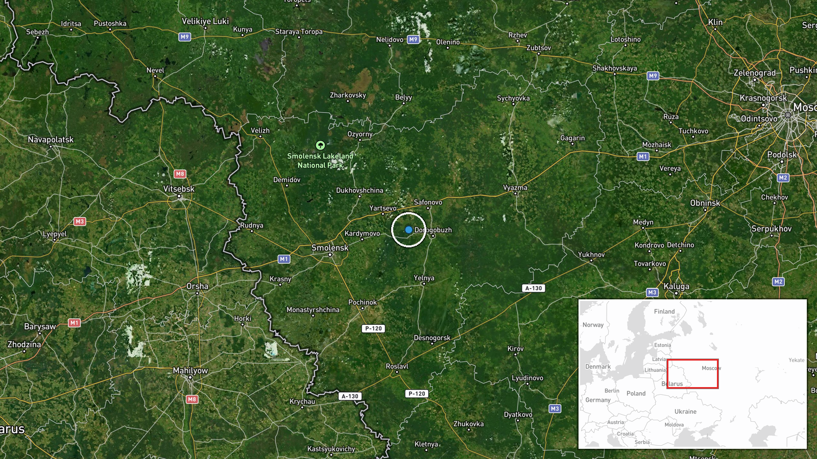
Ukrainian unmanned aerial vehicles reportedly struck gas and electricity infrastructure facilities in Smolensk Oblast, western Russia, on 4 October 2026. The attack was reported via social media by a conflict monitoring account. Ukrainian officials have characterized such strikes as part of a sustained campaign against Russian energy infrastructure intended to disrupt military logistics and wartime industrial production capacity.
Context and assessment
Smolensk Oblast sits roughly 400 kilometres west of Moscow and contains significant energy distribution nodes serving both civilian and military logistics networks across western Russia. Ukraine has conducted repeated drone strikes against Russian power generation and gas transmission facilities since 2022, targeting infrastructure that sustains both civilian consumption and military operations. Such attacks aim to degrade Russia's ability to sustain industrial production, heating capacity during winter months, and supply lines to frontline forces. The targeting of energy infrastructure reflects a shift toward attrition-focused strategy where Ukraine seeks to impose costs on Russian wartime capacity rather than pursue immediate territorial gains.
Sources and confidence
The strike was reported solely by X account @ConflictTR, a conflict monitoring channel. No independent cross-confirmation from Ukrainian or Western official sources is noted in available data. The single-source reporting and regional-level geolocation precision warrant moderate confidence. Confirmation from Ukrainian military statements or satellite imagery would strengthen the assessment.
Location
Smolensk Oblast, located in western Russia approximately 370 kilometres southwest of Moscow. The region is a major transit zone for Russian gas pipelines and electricity distribution infrastructure serving western and central Russia. Precise facility locations within the oblast are not specified; the assessment reflects regional attribution based on available reporting.
▶ View this event on the live map
Intel Mapper aggregates open-source reports from monitored Telegram and X channels, geolocates them, cross-checks duplicates across sources and assigns a confidence score. Entries are updated as new confirmations arrive. Read how we verify events.