Ukrainian MiG-29 downs Russian kamikaze drone over Kyiv with cannon fire
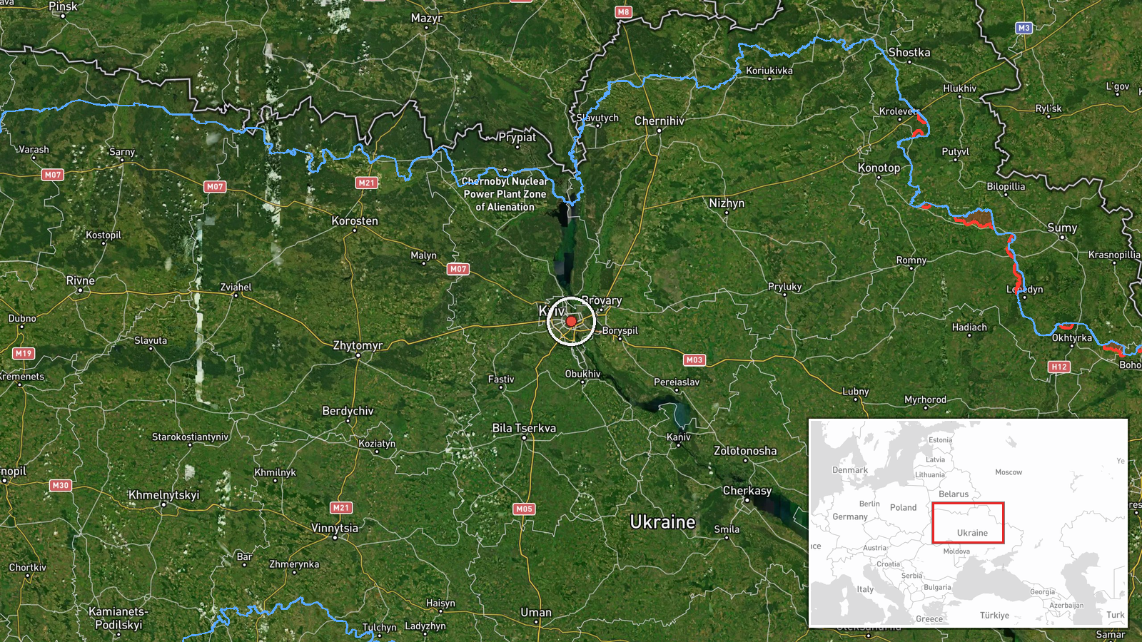
What happened
A Ukrainian MiG-29 fighter jet reportedly used close-range cannon fire to destroy a Russian kamikaze drone over Kyiv on 7 October at approximately 12:51 UTC. The pilot successfully neutralized the airborne threat. The incident occurred during a period of sustained Russian air operations against the Ukrainian capital, following an overnight massed strike involving ballistic and cruise missiles.
Context and assessment
This engagement reflects the ongoing aerial defense challenge Kyiv faces as Russia continues regular strikes combining stand-off weapons with expendable drones. The shootdown followed a reported Russian overnight bombardment involving 161 targets across Ukraine, including five ballistic and 39 cruise missiles. Ukrainian air defense systems—including fighter interception—have become routine responses to Russian strikes. The use of cannon fire suggests either saturation of air defense systems or tactical positioning by the MiG-29 pilot. Such incidents indicate sustained Russian pressure on Kyiv's airspace and Ukrainian efforts to counter it through all available means.
Sources and confidence
Reported by X account @ConflictTR. Single source reporting limits confidence. Cross-confirmation from Ukrainian official channels or multiple independent sources would strengthen assessment. Confidence score of 6.0 reflects plausible claim aligned with known patterns of Russian drone operations and Ukrainian air defense response, but reliance on single social media report creates verification gap.
Location
Kyiv city and surrounding Kyiv Oblast region, central Ukraine. Precision is regional rather than specific facility. The capital has been subject to repeated Russian air operations throughout the conflict. Geographic coordinates (50.45°N, 30.525°E) place the event in the greater metropolitan area.
Related events nearby
- Ukrainian General Staff reports Russian massed overnight strike (Oct 6-7): 161 targets destroyed/neutralized i2026-10-07 06:24 UTC · Report · Kyiv, Ukraine
- Russia conducted massive overnight massed missile and drone strike across Ukraine on Putin's 74th birthday (Oc2026-10-07 05:00 UTC · Cruise Missile · Kyiv, Ukraine
- Ukrainian General Staff releases cumulative Russian casualty figures on Putin's 74th birthday: 1,545,950 perso2026-10-07 04:13 UTC · Report · Kyiv, Ukraine
- Ukrainian air monitoring reports isolated Russian Shahed-type (reactive/jet-powered) drones transiting over Ky2026-10-07 02:37 UTC · Drone Transit · Kyiv, Ukraine
- Ukrainian air monitoring: 1 Russian ballistic missile over Kyiv.2026-10-07 02:16 UTC · Ballistic Missile · Kyiv, Ukraine
▶ View this event on the live map
Intel Mapper aggregates open-source reports from monitored Telegram and X channels, geolocates them, cross-checks duplicates across sources and assigns a confidence score. Entries are updated as new confirmations arrive. Read how we verify events.