Syria plans new oil export route bypassing Strait of Hormuz via Iraq
What happened
Syria has announced plans to establish a new oil export corridor that would redirect Iraqi crude oil through Syrian territory, circumventing the Strait of Hormuz. The initiative was reported via social media on 7 October 2026 citing Bloomberg reporting. The stated aim is to reduce regional transit dependency by creating an alternative export pathway. The report does not specify timeline, infrastructure requirements, or operational details of the proposed route.
Context and assessment
This proposal emerges amid significant regional instability affecting Syria and its neighbours. Recent days have seen Israeli military operations in southern Syria, including detention incidents and symbolic territorial assertions on Mount Hermon. Palestinian militant groups report strikes on their installations in Syria and Lebanon. Simultaneously, civilian displacement from Lebanon into Syria suggests post-conflict stabilization efforts. An oil corridor proposal would represent a major economic and geopolitical initiative—potentially reshaping crude export patterns and reducing dependence on maritime chokepoints vulnerable to regional tensions. However, implementation would require substantial infrastructure investment and coordination with Iraq, both uncertain given Syria's current political transition and the security environment.
Sources and confidence
Reported by Bloomberg and circulated via X account @ConflictTR on 7 October 2026. Single source channel limits independent corroboration. Confidence score of 6.0 reflects attribution to a credible international news outlet but lack of cross-confirmation from Syrian official statements or additional reporting. Confirmation from Syrian government officials or Iraqi authorities, or reporting from additional international outlets, would strengthen confidence.
Location
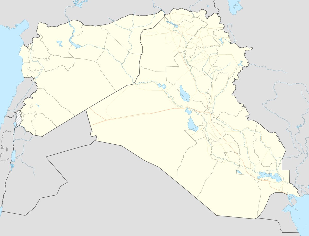
Damascus, Syria is identified as the statement origin based on the announcement source. The proposed corridor would connect Iraqi oil fields through Syrian territory to export terminals, but the route specifics and infrastructure locations are not detailed in available reporting. Geographic precision rated low due to absence of route mapping or facility designations.
Related events nearby
- Syrian Foreign Ministry condemns Houthi targeting of King Abdulaziz and Prince Muhammad bin Abdulaziz airports2026-10-06 20:02 UTC · Statement · Damascus, Syria
- Palestinian Islamic Jihad leader Ziad al-Nakhala reports Israeli strikes on PIJ headquarters in Syria and Leba2026-10-06 16:53 UTC · Statement · Damascus, Syria and Beirut, Lebanon
- 19 Syrian families returned from Lebanon to Syria via the Judaydet Yabous border crossing. Civilian population2026-10-07 10:13 UTC · Displacement · Judaydet Yabous Border Crossing, Rif Dimashq, Syri
- Israeli occupation forces painted Israeli flag colors on a military position atop Mount Hermon (Jabal al-Sheik2026-10-07 10:50 UTC · Security · Mount Hermon (Jabal al-Sheikh), Quneitra, Syria
- Israeli occupation forces shot and detained a young man during incursion into Jubata Al-Khashab village, Qunei2026-10-07 08:28 UTC · Security · Jubata Al-Khashab, Quneitra, Syria
▶ View this event on the live map
Intel Mapper aggregates open-source reports from monitored Telegram and X channels, geolocates them, cross-checks duplicates across sources and assigns a confidence score. Entries are updated as new confirmations arrive. Read how we verify events.