Iranian Revolutionary Guards board vessel near Musa Island during fuel transfer
What happened
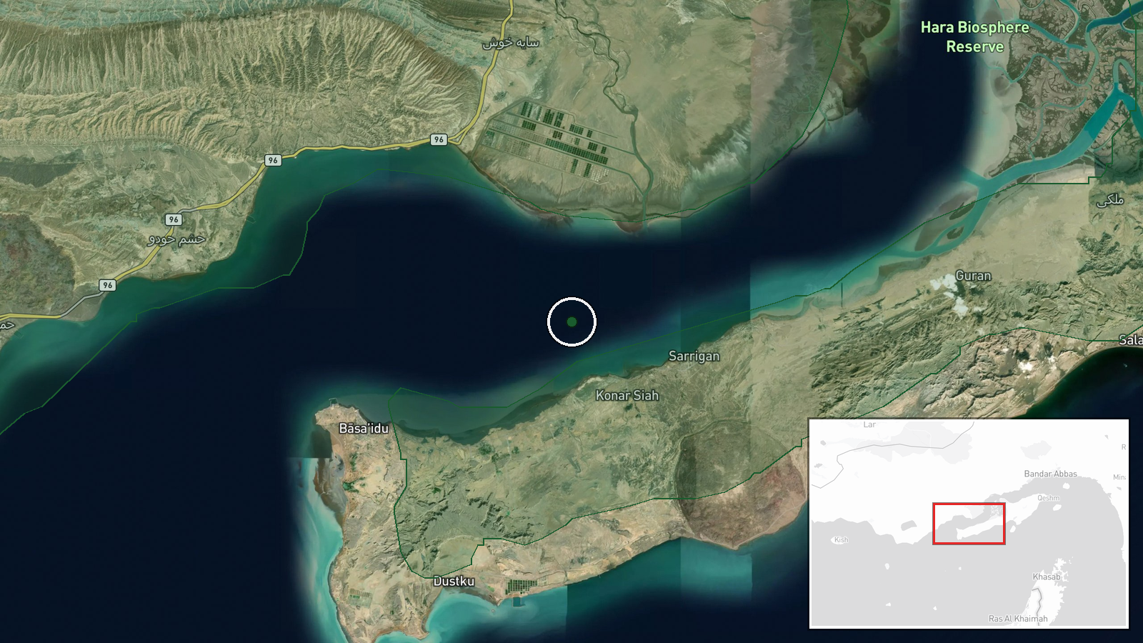
The Iranian Revolutionary Guards (IRGC) reportedly conducted a boarding operation against a vessel in waters near Musa Island in the Strait of Hormuz on 9 October. The operation occurred while fuel transfer was taking place between two ships. The report, posted to X by @ConflictTR, provides no details on the vessel's flag state, cargo, or the stated grounds for the interception. No casualties or damage are mentioned in the available account.
Context and assessment
Musa Island sits in a strategically vital chokepoint through which roughly one-third of global seaborne oil passes daily. Iranian naval and paramilitary forces have a longstanding practice of boarding and inspecting foreign vessels in the Strait, citing various security and customs justifications. This incident follows a reported strike on an oil tanker in the same waters on 8 October, details of which remain unclear. The timing and proximity of these two maritime events may suggest heightened Iranian interdiction activity in the corridor, though whether they are connected or coincidental cannot yet be determined from available reporting.
Sources and confidence
A single source—the X account @ConflictTR—reported this incident. No cross-confirmation from secondary news outlets, maritime tracking services, or official Iranian statements is currently available. The confidence score of 6.0 reflects the single-source nature of the report and absence of corroborating detail. Independent confirmation from shipping industry monitors or regional media would substantially raise confidence.
Location
Musa Island is located in the central Strait of Hormuz at approximately 26.7°N, 55.4°E. The island lies in Iranian-controlled waters, roughly equidistant from the Iranian coast to the north and Oman's Musandam Peninsula to the south. The Strait's narrowest transit corridor passes several kilometres to the south and east of the island.
Related events nearby
- Oil tanker struck in the Strait of Hormuz. Details on attacker identity, damage, and casualties pending.2026-10-08 14:57 UTC · Naval · Strait of Hormuz, Persian Gulf
▶ View this event on the live map

Intel Mapper aggregates open-source reports from monitored Telegram and X channels, geolocates them, cross-checks duplicates across sources and assigns a confidence score. Entries are updated as new confirmations arrive. Read how we verify events.