Iran's airspace reportedly shut down; civil aviation halted nationwide
What happened
Iran's airspace reportedly ceased all activity according to FlightRadar data monitoring on 10 October 2026. Civil aviation across the country was halted. The report comes from monitoring of flight tracking data shared via social media. No official Iranian statement or explanation for the closure was provided in available sources at the time of reporting.
Context and assessment
Airspace closures in Iran typically indicate either active military operations, imminent threats, or emergency defensive measures. Such nationwide halts are uncommon and signal significant escalation. The timing and scope suggest either a response to external threat, preparation for air operations, or precautionary measure during elevated regional tensions. Full airspace closure affects both civilian and military aviation, disrupting commercial travel and indicating coordination at the highest levels of Iranian air defense command.
Sources and confidence
Single source via X (@ConflictTR) reporting FlightRadar monitoring data. No cross-confirmation from Iranian authorities, international aviation bodies, or independent monitoring services provided. Confidence score of 6.1 reflects reliance on single social media report without official corroboration. Confirmation from NOTAM data, international aviation authorities, or multiple independent flight tracking platforms would substantially raise confidence.
Location
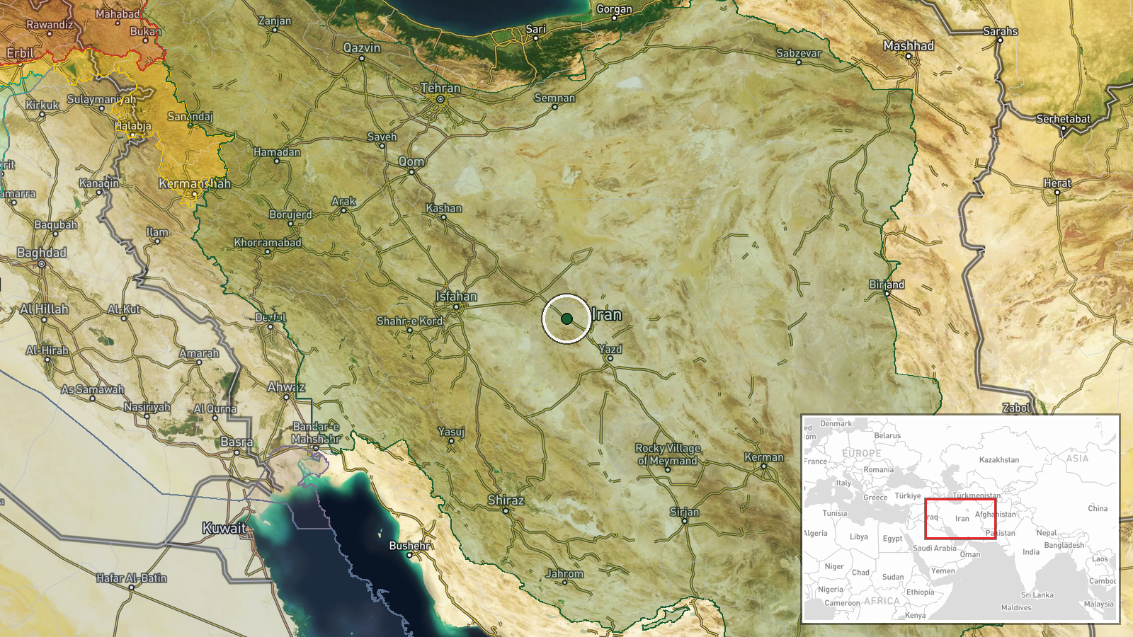
Iran, nationwide. Coordinates represent country centroid. Precision limited to regional level. FlightRadar data monitoring provides geographic scope but does not identify specific zones or facilities affected by the closure.
▶ View this event on the live map

Intel Mapper aggregates open-source reports from monitored Telegram and X channels, geolocates them, cross-checks duplicates across sources and assigns a confidence score. Entries are updated as new confirmations arrive. Read how we verify events.