Oil tanker attacked in Strait of Hormuz amid Houthi maritime operations
What happened
A Turkish-language source reported an oil tanker was attacked in the Strait of Hormuz on October 12, 2026. The report provided minimal operational detail and did not specify the vessel's damage status, crew condition, or attack method. The incident was attributed to Houthi forces operating in the Persian Gulf, consistent with their stated maritime campaign against shipping in the region.
Context and assessment
The Strait of Hormuz is one of the world's most critical chokepoints for global energy transit, with roughly one-third of seaborne oil passing through its narrow channel between Iran and Oman. Houthi attacks on commercial shipping in the Gulf have escalated periodically since 2024, targeting vessels perceived as linked to Israeli, American, or Saudi interests. These operations typically aim to disrupt regional commerce and project maritime power. A single reported incident fits an established pattern but does not necessarily indicate operational escalation without corroboration or damage assessment.
Sources and confidence
The incident was reported via X by @ConflictTR, a Turkish conflict monitoring account. Only one source confirmed the event, and the original report offered limited operational specifics. The confidence score of 6.3 reflects single-source reporting and geographic imprecision. Verification through maritime incident databases, shipping companies, or regional naval observers would significantly strengthen confidence.
Location
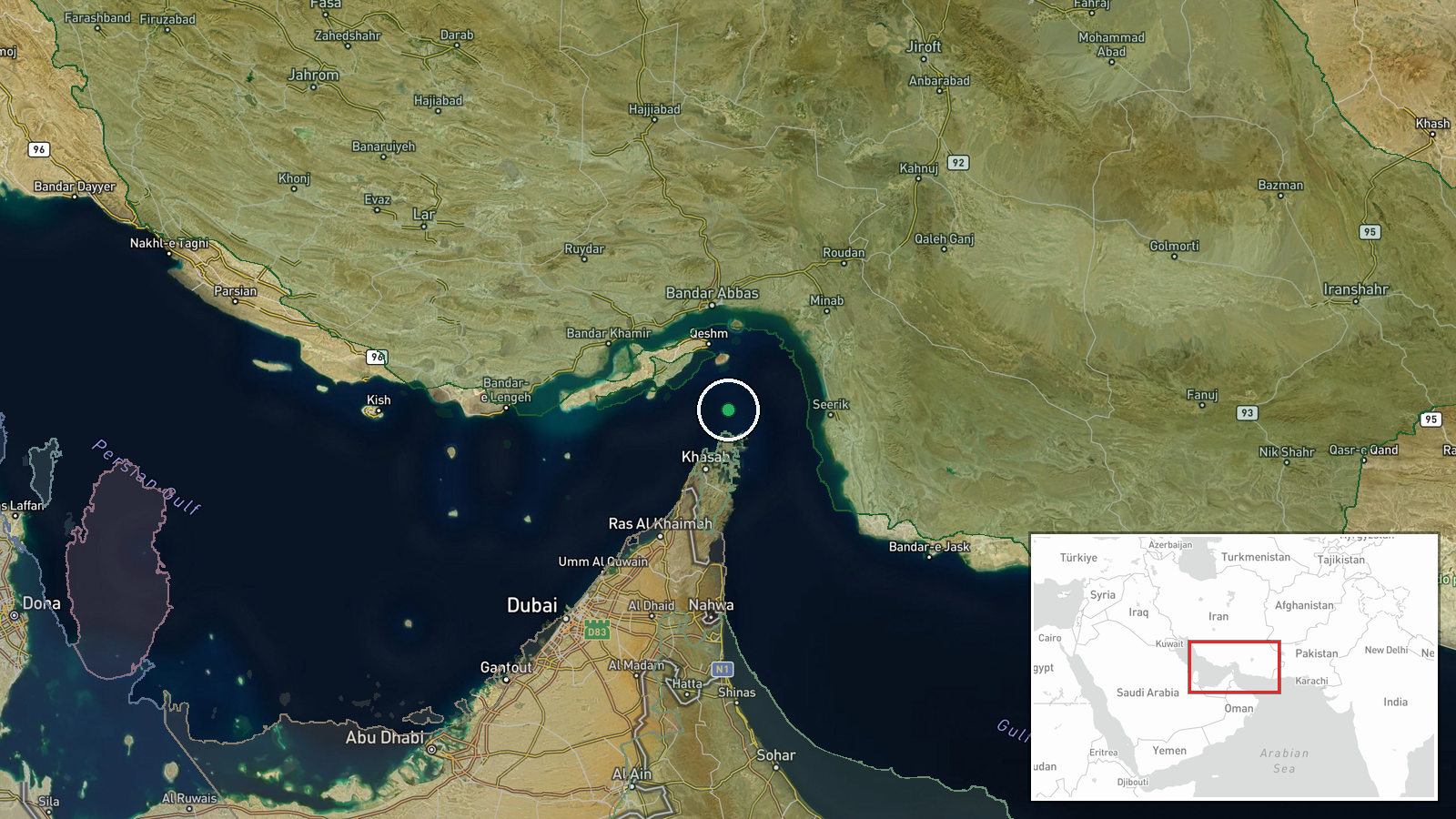
The Strait of Hormuz is determined by the stated attack location rather than pinpoint precision. The geographic coordinates (26.55°N, 56.4°E) place the event within the strategic waterway between the Arabian Peninsula to the west and Iran to the east. The strait's narrow width and high traffic volume make it a frequent target for regional maritime activity.
▶ View this event on the live map

Intel Mapper aggregates open-source reports from monitored Telegram and X channels, geolocates them, cross-checks duplicates across sources and assigns a confidence score. Entries are updated as new confirmations arrive. Read how we verify events.