Ukraine publishes footage of drone evacuation of soldier who lost both legs, Donetsk front
What happened
A post on X from the account @ConflictTR, citing a Turkish-language message, reports that the Ukrainian army published footage showing a 49-year-old soldier who lost both legs in combat being evacuated by drone. The post was logged on 21 October 2026 at 06:10 UTC. The original wording says the army released the footage, so the account of the evacuation and the soldier's injuries comes from a Ukrainian military publication rather than independent observation. The report does not name the soldier or unit, and it gives no exact date, place, or medical outcome for the incident. The event is tagged to the eastern front in Donetsk Oblast at regional precision.
Context and assessment
The location matters because Donetsk Oblast has been the most active sector in the recent reporting. A Ukrainian General Staff tally for the 24 hours to 22:00 on 20 October, as cited in related reporting, claims 229 clashes, 64 airstrikes, 223 glide bombs, 5,881 kamikaze drones and 1,925 shellings. Those figures show how heavily drones dominate the battlefield, and drones are a major cause of casualties and of the difficulty of moving wounded people out of the front. A related report from 20 October describes a Russian soldier losing a foot to a Lepestok anti-personnel mine while assaulting trenches in the same direction, which points to the same hazards on the other side. Another report describes a strike on a Russian army repair unit near Kalmiuske, suggesting that logistics and recovery are being targeted as well as frontline positions. A General Staff report from 21 October describes 37 Russian attacks on the Kostiantynivka axis, with pressure toward nearby villages. Operationally, the footage may indicate that drone-based casualty evacuation is being used under these conditions, though the publication also serves an information purpose and should be read with that in mind.
Sources and confidence
The event rests on a single channel, X (@ConflictTR), with a source count of 1 and no independent confirmation in the data. The footage itself is attributed to the Ukrainian army, so the account depends on a party to the conflict. The confidence score of 6.3 reflects that single-source, party-released material with no date, place, or unit detail. Confidence would rise if the footage were geolocated and dated by independent analysts, if a wire service or major outlet reported it, or if the Ukrainian military named the unit or incident. It would fall if the footage were found to be older, recycled from another front, or not matched to the claimed soldier.
Location
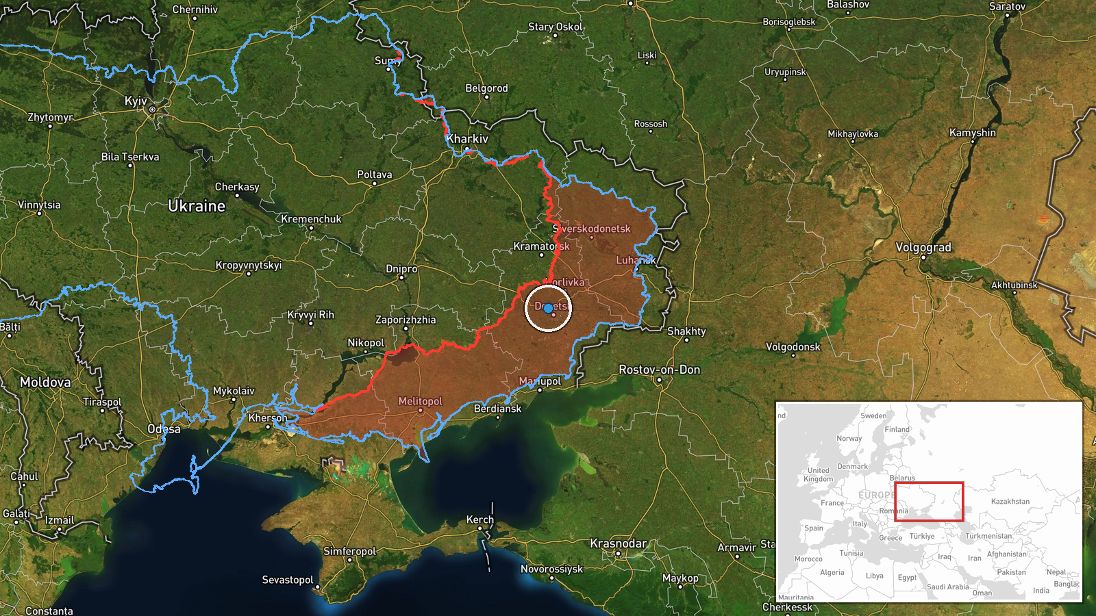
The coordinates, 48.1 north and 37.7 east, are approximate and set at regional precision with low location confidence. The report names no settlement, facility or grid position, so the point should be treated as a general reference within Donetsk Oblast rather than the site of the evacuation. The oblast is mostly open steppe with mining and industrial towns, and the nearby reports refer to the Dobropillia and Kostiantynivka areas to the north and west, which have been active in recent reporting.
Related events nearby
- Ukraine General Staff 24h tally to 22:00 20.10.2026: 229 clashes, 64 airstrikes, 223 glide bombs, 5,881 kamika2026-10-20 19:02 UTC · Report · Donetsk Oblast, Ukraine
- A Russian soldier lost a foot after stepping on a Lepestok anti-personnel mine while assaulting trenches in th2026-10-20 09:48 UTC · Report · Donetsk direction front line, Donetsk Oblast, Ukra
- Social media post shows an African national fighting in the Russian army, demonstrating trench-clearing skills2026-10-20 07:38 UTC · Combat · Near Dobropillya, Donetsk, Ukraine (front line, es
- Ukrainian Defense Forces struck a Russian army repair unit near Kalmiuske, Donetsk Oblast, on October 19–20, h2026-10-20 08:56 UTC · Combat · Kalmiuske, Donetsk Oblast, Ukraine
- Ukrainian General Staff reports 37 Russian attacks on the Kostiantynivka axis, with offensive pressure toward 2026-10-21 05:05 UTC · Combat · Dobropillia, Donetsk, Ukraine
▶ View this event on the live map

Intel Mapper aggregates open-source reports from monitored Telegram and X channels, geolocates them, cross-checks duplicates across sources and assigns a confidence score. Entries are updated as new confirmations arrive. Read how we verify events.