Turkey's indigenous HAVA SOJ electronic warfare aircraft reportedly continues test flights
What happened
A single X account, @ConflictTR, reported that Türkiye's HAVA SOJ, an indigenously developed electronic warfare aircraft, is continuing test flights. The original Turkish post describes the aircraft as designed to detect, identify and jam enemy radar and communications systems from long range, without needing to enter hostile airspace. The post gives no test site, flight date, aircraft serial, or test outcome, and no official Turkish government or defence industry statement accompanies it. The report was published on 23 October 2026 at 10:49 UTC. Its wording describes an ongoing programme rather than a discrete incident, so no casualties, damage, or engagement is claimed.
Context and assessment
The report belongs to the broader story of Turkey building its own defence technology base, reducing reliance on foreign suppliers for systems such as drones, missiles, and electronic warfare. Standoff electronic attack and suppression of enemy air defences are capabilities that Turkish forces have long sought, given their operations across northern Syria and Iraq, in the Mediterranean, and in support of partners in Libya and Somalia. A related event on the same day, reported at 10:06 UTC, concerns the Turkish General Staff creating the International Joint Strategic Command (UMSK) to direct overseas TSK forces, including the Turkish Cypriot peace force command. The two items are not linked in the sources, and the timing is coincidental as far as the data shows. Taken together, they point to continued investment in both capability development and expeditionary command structures. Operationally, a test-phase electronic warfare platform indicates that any fielding is likely still some way off, so the report is best read as a programme milestone and not as a change in deployed capability.
Sources and confidence
The event rests on one channel, the X account @ConflictTR, with a source count of 1 and no corroborating outlet in the data. The confidence score of 6.1 reflects that single-source status and the lack of location, imagery, or official confirmation. Confidence would rise with an official statement from the Turkish Ministry of National Defence or the Presidency of Defence Industries, dated flight imagery, or independent aviation spotter photos. Corroboration from Turkish or defence trade press would also help. Confidence would fall if the post proves to be recycled older material or a promotional claim without a verifiable test flight.
Location
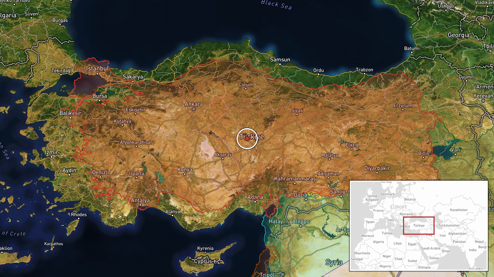
The location is recorded only as Turkey, with no settlement, facility, or airfield named in the report. The coordinates of 39.0 N, 35.0 E are a regional placeholder near the centre of Anatolia, placed by the system's country-level fallback and not by any reported flight or facility. The location confidence is low and the precision is set to region, so the point should not be read as a test site. Nearby features at that scale include the Anatolian plateau and the Kızılırmak River basin. Any specific test range would need an official or imagery-based source to identify.
Related events nearby
- Turkish General Staff established the International Joint Strategic Command (UMSK) to direct overseas TSK forc2026-10-23 10:06 UTC · Deployment · Turkey (location not reported)
▶ View this event on the live map

Intel Mapper aggregates open-source reports from monitored Telegram and X channels, geolocates them, cross-checks duplicates across sources and assigns a confidence score. Entries are updated as new confirmations arrive. Read how we verify events.