Ukrainian forces reportedly liberate Zapadne in Kharkiv Oblast
What happened
DeepStateMAP, a widely-monitored Ukrainian frontline tracking platform, reported on 31 August that Ukrainian forces have liberated the settlement of Zapadne in Kharkiv Oblast. The report marks a territorial change on the contested eastern front. No casualty figures or tactical details were provided in the source material. The claim derives from a single channel update to its frontline map.
Context and assessment
Zapadne lies in Kharkiv Oblast, an area of intense operational activity throughout late August and early September. The reported capture occurs amid sustained Ukrainian operations and intense Russian air activity across the region, with dozens of Shahed-variant kamikaze drones tracked transiting Kharkiv Oblast on 30 August alone. Russian forces have maintained pressure across multiple fronts, with 221 combat engagements reported on the same day. The liberation of Zapadne, if confirmed, would represent incremental territorial consolidation in a contested sector where both sides have conducted frequent offensive and defensive operations.
Sources and confidence
DeepStateMAP provided the sole report; no cross-confirmation from Ukrainian official channels or independent verification is noted. Confidence is set at 8.5 out of 10, reflecting DeepStateMAP's operational credibility but acknowledging single-source reporting. Confirmation from Ukrainian MoD, geolocated video evidence, or reports from secondary conflict monitors would strengthen confidence. Contradictory reports from Russian sources or absence of supporting tactical detail would lower confidence.
Location
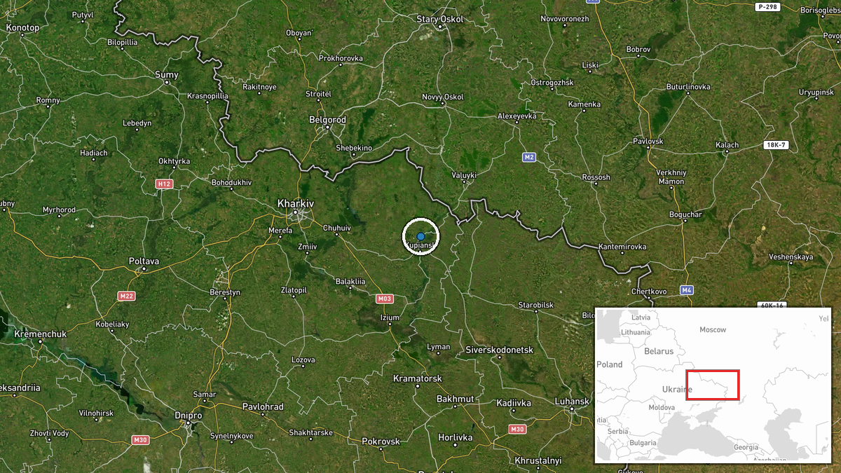
Zapadne is a settlement in Kharkiv Oblast, eastern Ukraine (49.821°N, 37.617°E), located in the intensely contested region between the Oskil and Siverskyy Donets rivers. The settlement's precise coordinates indicate rural terrain typical of the Kharkiv front sector. Geographic precision is assessed as high based on settlement-level identification.
Related events nearby
- Ukrainian MoD advisor reports Russia has launched ~1,500 jet-powered Shaheds in August and over 2,500 so far i2026-08-30 10:10 UTC · Statement · Ukraine (National)
- Two Russian reactive-engine UAVs (Shahed variants) tracked transiting from Krestishche toward Karliyivka in Kh2026-08-30 08:54 UTC · Drone Transit · Merefa, Kharkiv Oblast, Ukraine
- Four Russian Shahed-variant reactive-engine kamikaze drones tracked transiting over Balakliya in Kharkiv Oblas2026-08-30 12:39 UTC · Drone Transit · Balakliya, Kharkiv Oblast, Ukraine
- Ukrainian FPV-kamikaze drones targeted Russian logistics assets in Belgorod region. Specific targets and damag2026-08-31 01:00 UTC · FPV Drone · Belgorod, Belgorod Oblast, Russia
- Ukrainian forces conducted an airstrike on Belgorod city, Russia. New video footage of the attack has emerged,2026-08-30 14:07 UTC · Ballistic Missile · Belgorod city, Belgorod Oblast, Russia
▶ View this event on the live map
Intel Mapper aggregates open-source reports from monitored Telegram and X channels, geolocates them, cross-checks duplicates across sources and assigns a confidence score. Entries are updated as new confirmations arrive. Read how we verify events.