Saudi air defenses intercept drone near Mecca; Houthis deny involvement
What happened
Saudi air defense systems reportedly intercepted and destroyed a drone before it could enter airspace over Mecca on September 16, 2026. The incident occurred in the Makkah Region at approximately 18:39 UTC. Houthi representatives denied any connection to the attempted attack on Islam's holiest city, suggesting either a different origin for the drone or a deliberate disassociation from the incident.
Context and assessment
Mecca, as the religious center of Islam and a key Saudi Arabian city, represents a symbolically significant and heavily protected target. Drone and missile attacks on Saudi territory have periodically been attributed to Houthi forces, though attribution remains contested and public denials are common practice. The interception demonstrates active air defense operations around major Saudi population centers. Without confirmation of the drone's origin or operational intent, the incident's significance remains unclear—it may represent a genuine security threat, a system test, or an unrelated aerial object.
Sources and confidence
Reported by Telegram channel @AJSyriaNow. Single source submission with no cross-confirmation recorded. Confidence score of 7.5 reflects the report's specificity but is tempered by lack of independent verification or official Saudi statement. Confirmation from Saudi military or independent second source would substantially raise confidence; clarification of drone origin and flight path would lower uncertainty.
Location
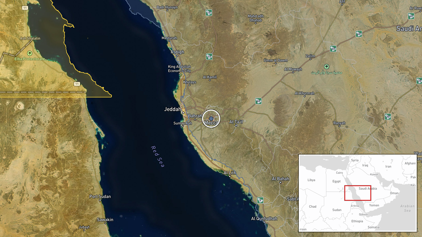
Mecca, located in the Makkah Region of western Saudi Arabia (21.4225°N, 39.8264°E) at approximately 330 meters elevation. The city sits inland from the Red Sea coast, surrounded by mountainous terrain. Settlement-level precision based on city coordinates; the exact interception point is not specified.
▶ View this event on the live map
Intel Mapper aggregates open-source reports from monitored Telegram and X channels, geolocates them, cross-checks duplicates across sources and assigns a confidence score. Entries are updated as new confirmations arrive. Read how we verify events.