Syria opens new shortened air corridor linking Iraq and Turkey via eastern zone
What happened
Al Jazeera's Open Source Unit reports intensive movement of international commercial airlines over a newly established shortened airspace corridor that Syria has adopted. The corridor extends through Syria's eastern zone near Deir ez-Zor and connects regional air routes between Iraq and Turkey. The report was published on 19 September via the @AJSyriaNow Telegram channel and describes what appears to be a restructuring of Syrian airspace routing rather than a discrete military or security incident.
Context and assessment
The establishment of a new air corridor reflects broader normalization efforts under Syria's current government, which has pursued diplomatic and economic engagement following years of isolation. The timing aligns with multiple recent developments: Egypt and Syria held economic talks on 19 September focused on trade and infrastructure, while Turkey delivered armored vehicles to the Syrian Army on 18 September. The eastern routing near Deir ez-Zor suggests an effort to restore connectivity with Iraq and Turkey while potentially avoiding airspace near Israeli-controlled zones, an operationally significant consideration given reported Israeli strikes on Syrian territory on 18 September. The corridor's activation may indicate Syria's attempt to restore civil aviation networks and regional trade links.
Sources and confidence
Reported solely by Al Jazeera's Open Source Unit via Telegram (@AJSyriaNow) on 19 September with no independent cross-confirmation noted. The low confidence score of 7.5 reflects single-source reporting and lack of corroboration from independent aviation monitoring sources or Syrian government statements. Confidence would increase with confirmation from flight-tracking data, second news source, or official Syrian aviation authority statement.
Location
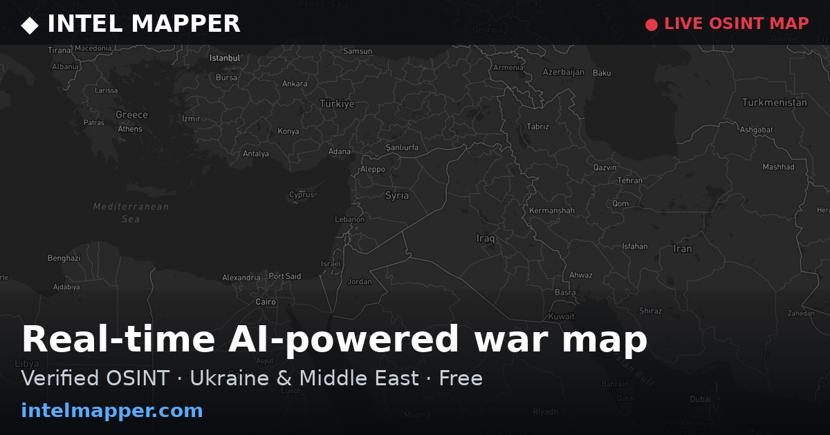
The air corridor is described as extending through Syria's eastern zone near Deir ez-Zor, a governorate in northeastern Syria on the Euphrates River bordering Iraq. The corridor links regional routes between Iraq and Turkey, suggesting a north-south routing through eastern Syrian airspace rather than alternative western or central routes. Geographic precision is limited to the general eastern zone descriptor.
Related events nearby
- Syrian government reopened Al-Hamra Theatre in Damascus after rehabilitation. The historic venue, with over 602026-09-19 07:22 UTC · Humanitarian Aid · Al-Hamra Theatre, Damascus, Syria
- Second Egyptian-Syrian government meeting held in Damascus. Economic and trade delegations discussed investmen2026-09-19 06:18 UTC · Diplomacy · Damascus, Syria
- Turkey delivered new YÖRÜK armored fighting vehicles to the Syrian Army (HTS government). This represents mili2026-09-18 12:28 UTC · Deployment · Damascus, Syria
- One youth killed, another wounded by unexploded ordnance detonation at a nursing school in Daraya, Rif Dimashq2026-09-18 14:56 UTC · Explosion · Nursing School, Daraya, Rif Dimashq, Syria
- Israeli occupation forces targeted the outskirts of Bayt Jan village in Rif Dimashq (Damascus Countryside) wit2026-09-18 12:35 UTC · Artillery · Bayt Jan, Rif Dimashq, Syria
▶ View this event on the live map
Intel Mapper aggregates open-source reports from monitored Telegram and X channels, geolocates them, cross-checks duplicates across sources and assigns a confidence score. Entries are updated as new confirmations arrive. Read how we verify events.