Unknown gunmen attack Syrian security forces vehicle on Hasakah-Qamishli highway
What happened
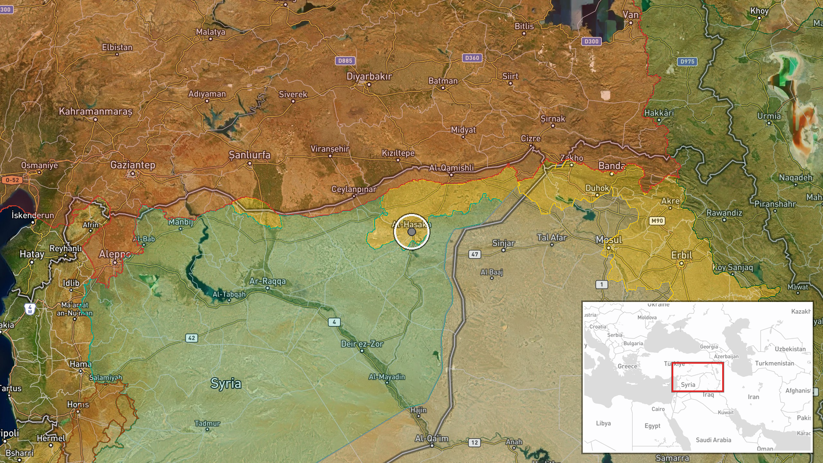
Unknown armed militants targeted a vehicle belonging to Syrian internal security forces on the highway connecting Hasakah and Qamishli cities in northeastern Syria on September 20. The report, sourced from the Telegram channel Syria Now, does not specify casualties, damage, or the outcome of the incident. The timing and location place the event in a region where multiple armed actors operate.
Context and assessment
The Hasakah-Qamishli corridor in northeastern Syria's Hasakah Governorate has long been contested terrain, with control divided among Syrian government forces, Kurdish-led authorities, and various opposition and militant groups. Attacks on security force convoys in this region typically reflect broader competition for territorial control and influence. The incident follows unconfirmed reports of air defense activation at nearby Kharab al-Jir military base earlier the same day, though the connection between these events remains unclear. Such targeting of internal security apparatus vehicles may indicate efforts by non-state actors to challenge state authority or express opposition to particular security operations in the area.
Sources and confidence
Reported solely by Telegram channel Syria Now (@AJSyriaNow) with no independent cross-confirmation. The confidence score of 7.5 reflects the single-source nature and lack of verifying reports from other outlets or parties. Confirmation from additional Syrian media, eyewitness accounts, or official statements would strengthen confidence. The absence of casualty or damage details in the original report limits verification potential.
Location
The Hasakah-Qamishli highway in Hasakah Governorate, northeastern Syria, determined at settlement-level precision near coordinates 36.50°N, 40.75°E. This major road connects two significant population centers in a region of mixed governance where Syrian state control, Kurdish autonomous administration, and informal militia presence coexist. The highway is a key transport route through ethnically diverse territory.
Related events nearby
- Early unconfirmed reports of air defense activation at Kharab al-Jir military base in northeastern Syria. No s2026-09-20 00:43 UTC · Siren · Kharab al-Jir Base, Al-Hasakah, Syria
▶ View this event on the live map
Intel Mapper aggregates open-source reports from monitored Telegram and X channels, geolocates them, cross-checks duplicates across sources and assigns a confidence score. Entries are updated as new confirmations arrive. Read how we verify events.