Syria begins rehabilitation of Mezzeh Airport to convert military facility to civilian use
What happened
Syria's General Civil Aviation Authority announced preliminary rehabilitation work at Mezzeh Airport near Damascus on September 23, aimed at reclassifying the facility from military to limited civilian use for private and executive aviation. The authority stated that current work focuses on debris removal and restoration of air navigation infrastructure components. The announcement came through official Syrian government channels.
Context and assessment
Mezzeh Airport's rehabilitation reflects Syria's broader effort to normalize civilian infrastructure and international engagement following years of conflict. The timing coincides with Syrian President Ahmad al-Shara's diplomatic outreach at the UN General Assembly, meetings with Congressional members, and discussions with international partners about Syria's political transition and reconstruction. Reclassifying military facilities to civilian use typically signals confidence in reduced security threats and intent to rebuild economic capacity. The airport's conversion to limited civilian aviation could support both Syria's domestic recovery and its re-engagement with the international community, though the scope remains restricted to private and executive traffic rather than commercial service.
Sources and confidence
Reported by Telegram channel @AJSyriaNow, citing the Syrian General Civil Aviation Authority. Single-source reporting limits independent verification; confidence of 7.5 reflects official Syrian government origin but lack of corroboration from other outlets. Confirmation from international aviation authorities or images of rehabilitation work would strengthen confidence.
Location
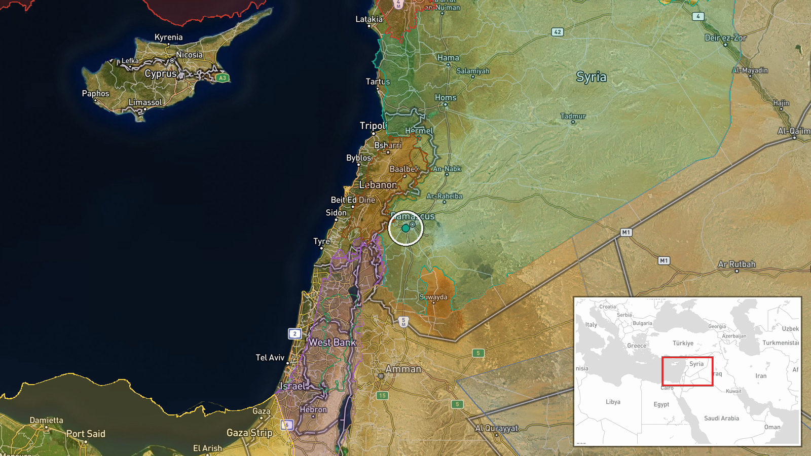
Mezzeh Airport is located in Rif Dimashq (Damascus Countryside) province approximately 15 kilometers northwest of central Damascus. The facility sits in the urban fringe north of the Syrian capital. Precision is settlement-level based on the airport's established geographic coordinates and administrative location within Damascus Countryside.
Related events nearby
- Syrian President Ahmad al-Shara participated in dialogue session with Atlantic Council at UN in New York discu2026-09-23 05:45 UTC · Diplomacy · Damascus, Syria
- Syrian President Shara states that Turkey's military presence in northwestern Syria has been reduced and discu2026-09-23 00:29 UTC · Diplomacy · Damascus, Syria
- Syrian President Ahmad al-Shara enters UN headquarters to participate in UN General Assembly meetings. Part of2026-09-22 13:12 UTC · Diplomacy · Damascus, Syria
- UN Deputy Special Envoy Claudio Cordone and Arab League Secretary General Nabil Fahmy discussed international 2026-09-22 09:16 UTC · Diplomacy · Damascus, Syria
- Syrian President Ahmad al-Shara met with US Congressional members in New York to discuss bilateral relations, 2026-09-22 09:11 UTC · Diplomacy · Damascus, Syria
▶ View this event on the live map
Intel Mapper aggregates open-source reports from monitored Telegram and X channels, geolocates them, cross-checks duplicates across sources and assigns a confidence score. Entries are updated as new confirmations arrive. Read how we verify events.