Syria completes navigation system upgrades at Damascus and Aleppo airports
What happened
The Syrian General Civil Aviation Authority announced completion of calibration and testing of modern air navigation systems at Damascus and Aleppo international airports. The systems—identified as ILS/DME and DVOR/DME equipment—are now operational and meet technical and operational requirements. According to the authority, the upgrades enable both airports to operate 24 hours daily across all weather conditions. The announcement was made via official channels on 24 September.
Context and assessment
The airport infrastructure upgrades occur as Syria's new government works to restore international connectivity and civilian flight operations following years of conflict. Damascus and Aleppo airports are Syria's primary civilian aviation hubs; their modernization signals efforts to rejoin regional and global aviation networks. The timing aligns with recent high-level diplomatic activities, including Syrian President Ahmad al-Sharaa's UN General Assembly address emphasizing Syria's return to the international community and ongoing meetings with regional and international leaders. Improved all-weather capability at these facilities would facilitate increased commercial traffic and support broader economic and diplomatic normalization efforts.
Sources and confidence
Single source: Syrian General Civil Aviation Authority statement via Telegram channel @AJSyriaNow, reported 24 September. No independent cross-confirmation from international aviation authorities or third-party observers noted. Confidence score of 7.5 reflects official government announcement credibility balanced against single-source reporting and lack of external verification of technical specifications or operational status.
Location
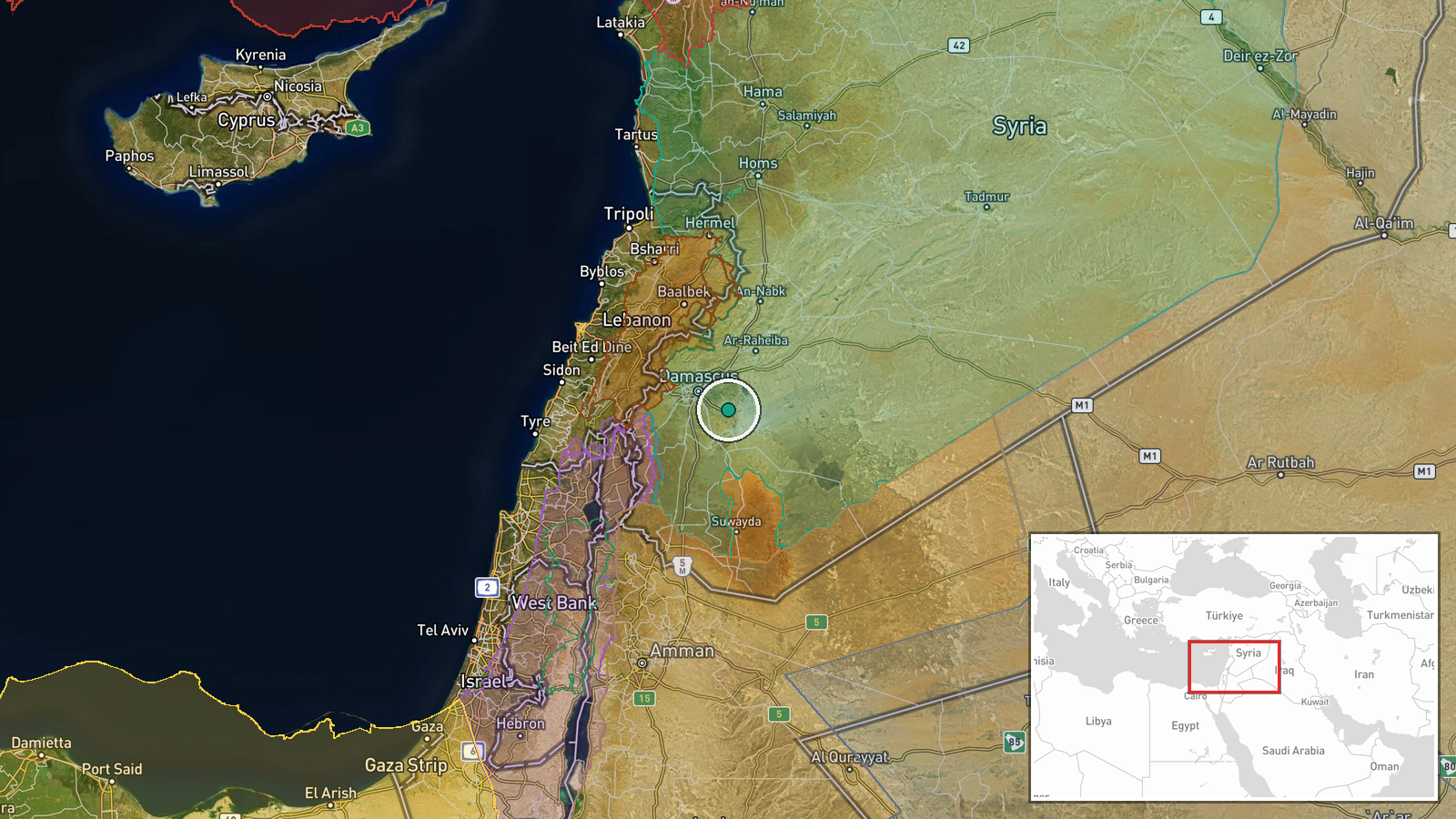
Damascus International Airport is located approximately 30 kilometers south of central Damascus in southern Syria (33.41°N, 36.51°E). Aleppo International Airport lies near Syria's second-largest city in the northwest. Both are major civilian aviation facilities; Damascus airport serves the capital and southern regions, while Aleppo airport serves northern Syria and cross-border routes.
Related events nearby
- Syrian President Ahmad al-Sharaa characterizes recent diplomatic meetings with U.S. President Trump and Arab l2026-09-24 13:43 UTC · Diplomacy · Damascus, Syria
- Syrian President Ahmad al-Sharaa addressed the UN General Assembly, emphasizing Syria's return to the internat2026-09-24 17:07 UTC · Statement · Damascus, Syria
- Syrian President Ahmad al-Sharaa met Kuwait's Crown Prince Sabah Khaled Al-Hamad Al-Sabah on the sidelines of 2026-09-24 05:28 UTC · Diplomacy · Damascus, Syria
- Unknown explosion inside a commercial shop in Nawa city, Daraa Governorate, resulted in at least one fatality 2026-09-24 12:04 UTC · Explosion · Nawa, Daraa Governorate, Syria
- Syrian President Ahmad al-Sharaa reaffirmed Syrian sovereignty over the Golan Heights at the UN. Israel respon2026-09-24 18:56 UTC · Statement · Golan Heights, Syria-Israel Border
▶ View this event on the live map
Intel Mapper aggregates open-source reports from monitored Telegram and X channels, geolocates them, cross-checks duplicates across sources and assigns a confidence score. Entries are updated as new confirmations arrive. Read how we verify events.