Israeli artillery fires three rounds into Quneitra Governorate, Syria
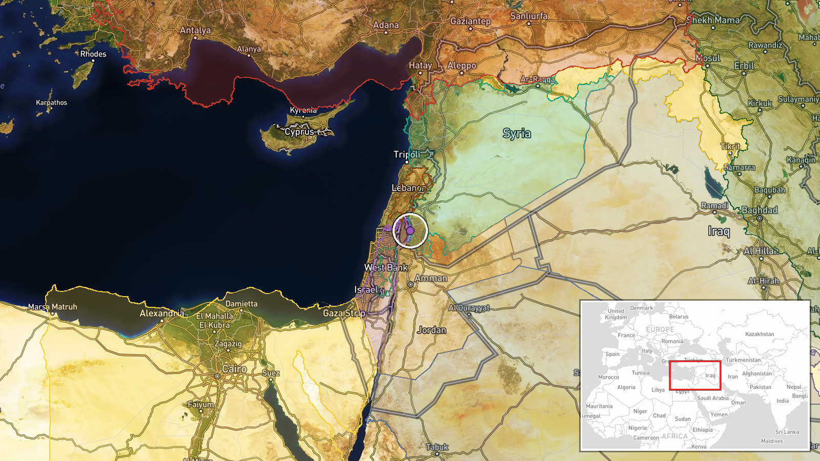
What happened
Israeli occupation forces fired three artillery rounds that landed in the area between Kudnah and Breqah villages in Quneitra Governorate, southwestern Syria, on 27 September at approximately 17:03 UTC. The Telegram channel Syria Now reported the incident. No immediate casualties were reported in the initial account. The precise origin of the fire and intended target were not specified in available reporting.
Context and assessment
Quneitra Governorate lies in the demilitarized zone established after the 1973 war, bordering the Israeli-occupied Golan Heights. The region has experienced periodic cross-border fire and incursions, particularly following the collapse of Assad regime military structures. The reported artillery strike follows Israeli territorial expansion in the Nabatîyé area near Lebanon on 26 September, suggesting sustained operational pressure along multiple Syrian and Lebanese fronts. Recent Syrian diplomatic statements indicate Damascus is seeking reduced Israeli military activity, though cross-border incidents continue. The incident may reflect ongoing Israeli operations to shape the security environment in contested border areas.
Sources and confidence
Reported solely by Telegram channel @AJSyriaNow (Syria Now). Single-source reporting from a regional news channel without independent cross-confirmation from Israeli sources or on-ground observers. Confidence of 7.5 reflects typical reliability of regional Telegram channels balanced against lack of corroboration. Independent reporting from Syria or Israel, satellite imagery, or statements from relevant parties would strengthen confidence.
Location
The strike landed between Kudnah and Breqah villages in the rural countryside of Quneitra Governorate in southwestern Syria. Coordinates place the impact zone approximately 12 km south of the Damascus-Quneitra highway, in terrain bordering the Israeli-controlled Golan Heights. Geo-precision is regional rather than site-specific; exact impact locations were not identified.
Related events nearby
- Israeli military forces conducted ground raids into rural areas of Quneitra and Daraa Governorates in southern2026-09-27 18:32 UTC · Combat · Quneitra Governorate rural areas, Syria
- Syrian Interior Security Forces arrested Brigadier Jaber Mahrez Ibrahim, former commander of 138 Air Defense B2026-09-27 14:16 UTC · Security · Daraa, Daraa Governorate, Syria
- Hezbollah forces expanded control (~142 km²) in the Liban-Sud area per updated conflict control map.2026-09-27 05:51 UTC · Combat · Liban-Sud
- Syrian Foreign Ministry advisor Mohamed al-Jafal states Syria's opposition to Iranian policy stems from 14 yea2026-09-27 17:24 UTC · Statement · Damascus, Syria
- Syrian diplomatic source tells France Press that Damascus hopes for a less hawkish Israeli government willing 2026-09-27 08:31 UTC · Statement · Damascus, Syria
▶ View this event on the live map
Intel Mapper aggregates open-source reports from monitored Telegram and X channels, geolocates them, cross-checks duplicates across sources and assigns a confidence score. Entries are updated as new confirmations arrive. Read how we verify events.