Aerial footage released of Al-Mayadin in Deir ez-Zor
What happened
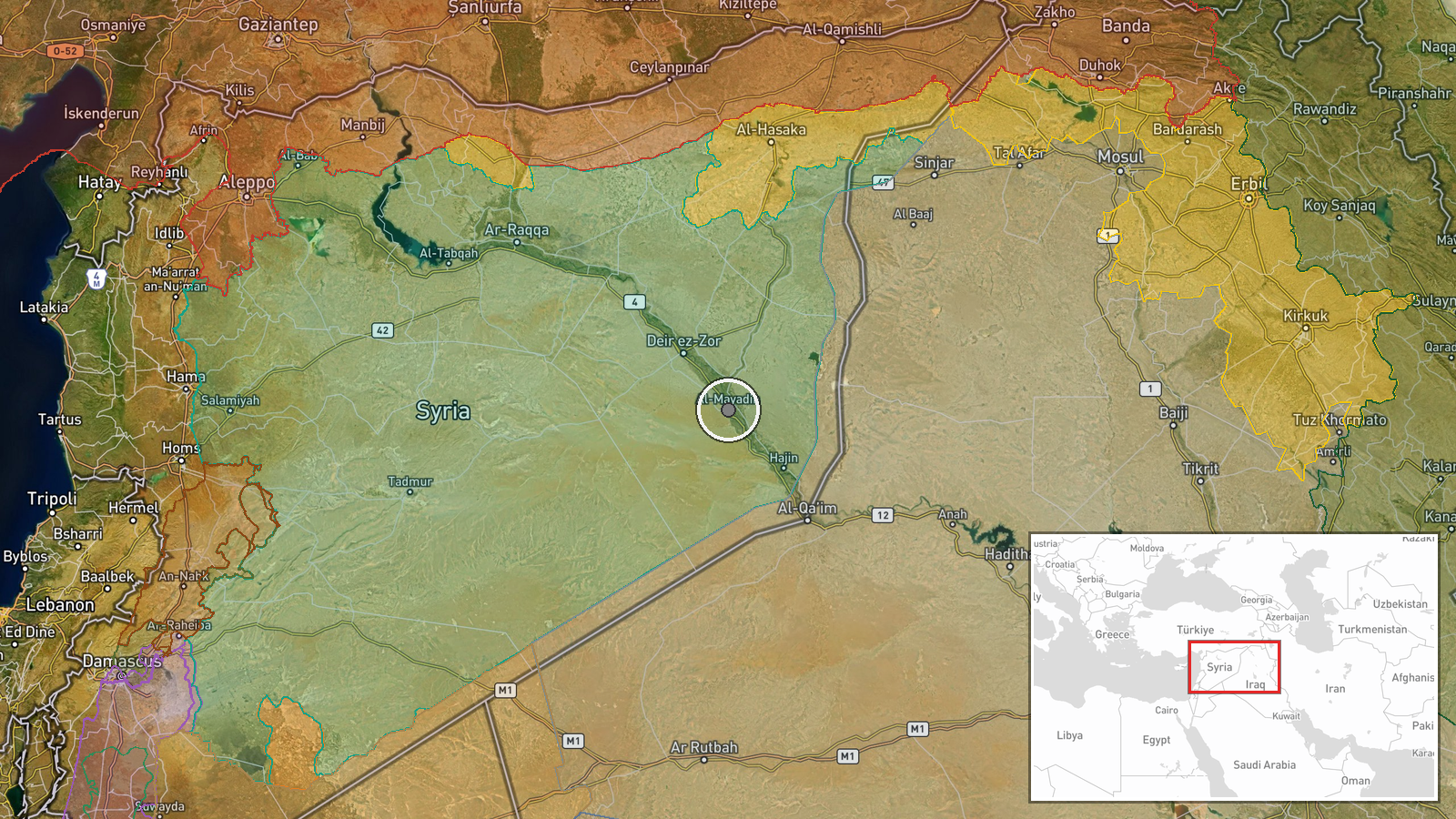
A Telegram channel published aerial footage of Al-Mayadin, a major city in Deir ez-Zor Governorate in eastern Syria. The post included historical context on the city's name, derived from Arabic al-mayadin meaning 'fields' or 'markets,' reflecting its traditional role as a grain trading hub. No active military incident or damage assessment was reported alongside the imagery.
Context and assessment
Al-Mayadin sits in Deir ez-Zor, Syria's oil-rich eastern province, which has remained contested and strategically significant throughout the Syria conflict. The city's location on the Euphrates River has made it a focal point for various armed actors. Release of aerial documentation of major settlements in this region often accompanies monitoring of territorial control, infrastructure status, or humanitarian conditions. Without accompanying casualty or damage claims, this report appears primarily documentary, though such posts can precede or follow significant developments in areas where control or security situations remain fluid.
Sources and confidence
Single source: Telegram channel @AJSyriaNow. No cross-confirmation from other open-source channels noted. Confidence score of 7.5 reflects reliable documentation of the image location and date, but absence of corroboration and lack of reported incident details. Score would increase with confirmation from additional independent sources or operational claims; would lower if location or date attribution proved inaccurate.
Location
Al-Mayadin is located in eastern Deir ez-Zor Governorate at approximately 35.02°N, 40.45°E. The city sits along the Euphrates River in Syria's arid interior plateau region. Coordinates have high confidence based on settlement boundaries. Nearby features include the Euphrates valley and extensive agricultural areas historically integral to the region's economy.
▶ View this event on the live map
Intel Mapper aggregates open-source reports from monitored Telegram and X channels, geolocates them, cross-checks duplicates across sources and assigns a confidence score. Entries are updated as new confirmations arrive. Read how we verify events.