Israeli forces drop illumination rounds near Syrian village, block civil defense access
What happened
Israeli military dropped illumination rounds over agricultural land near Al-Hamidiyah village in Quneitra Governorate on October 4, reportedly sparking fires in the area. According to a Syria Now correspondent reporting via Telegram, Israeli forces subsequently refused to permit Syrian civil defense personnel to enter the zone to extinguish the resulting blaze. The incident occurred amid a broader pattern of Israeli military activity in the southern Quneitra region.
Context and assessment
Al-Hamidiyah lies in Quneitra Governorate, a zone of contested control in the Golan Heights where Israeli forces have maintained a military presence since 2018. On the same day, related reports documented Israeli work on 'Project Sofa 53'—infrastructure construction south of Quneitra involving trenching and fortification work—as well as a reported shooting incident at an Israeli military position. The illumination round deployment and subsequent access denial may reflect heightened security operations or response to perceived threats in the area. The blocking of civil defense access suggests deliberate operational control over the agricultural zone, though the specific tactical purpose remains unclear.
Sources and confidence
Single-source reporting from Telegram channel @AJSyriaNow (Syria Now correspondent). No cross-confirmation from independent observers or Israeli military statements. Low location confidence and single-source basis yield a confidence score of 7.5. Confirmation by satellite imagery, additional eyewitness accounts, or Israeli military acknowledgment would substantially raise confidence. Direct denial or alternative explanations would lower it.
Location
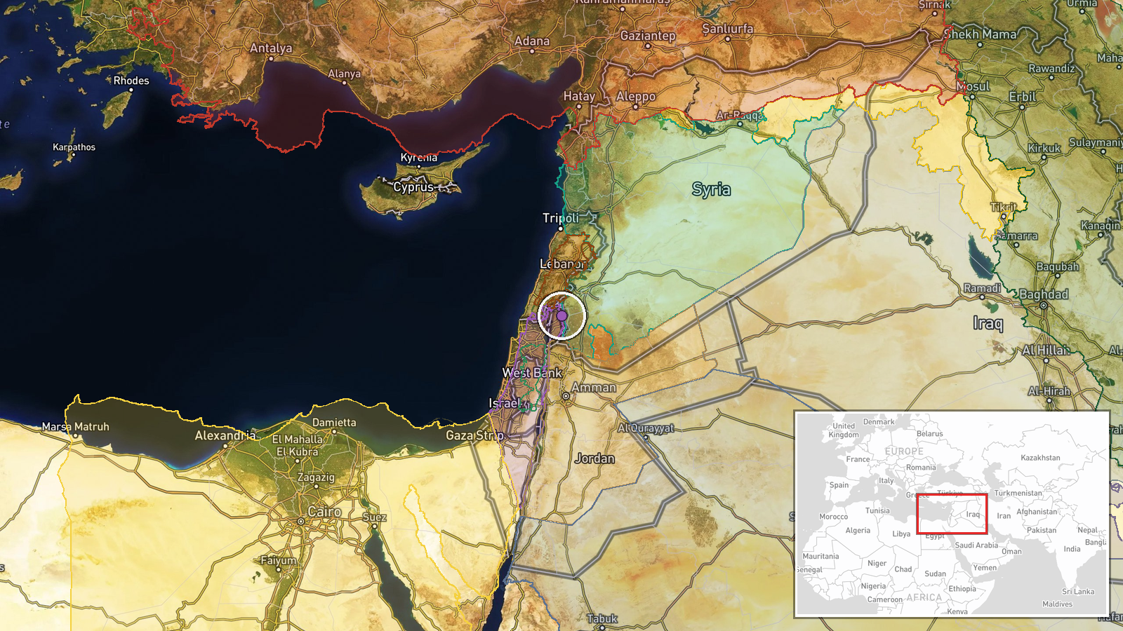
Al-Hamidiyah village, Quneitra Governorate, southern Syria, near the Israeli-controlled Golan Heights. Coordinates place the report at approximately 33.16°N, 35.85°E. The village sits within agricultural areas contested between Israeli military operations and Syrian civilian settlements, part of the wider demilitarized zone established after 1973.
Related events nearby
- Israeli forces killed a Syrian youth in Quneitra Countryside; Syrian Internal Security seized a weapons cache 2026-10-05 18:42 UTC · Security · Quneitra Countryside, Quneitra, Syria
- IDF forces detained two individuals near military positions in Quneitra Countryside. Israeli forces fired warn2026-10-05 13:54 UTC · Security · Quneitra Countryside, Quneitra Governorate, Syria
- IDF forces killed a young Syrian man, Muhammad al-Dabour, with gunfire in Quneitra countryside near midnight. 2026-10-05 13:49 UTC · Security · Quneitra Countryside, Quneitra Governorate, Syria
- IDF Carmeli Brigade forces cleared security zone in southern Syria, discovering three anti-tank charges and tw2026-10-05 13:30 UTC · Security · Quneitra Countryside, Quneitra Governorate, Syria
- Israeli forces shot and killed an individual attempting to infiltrate an Israeli military position in southern2026-10-04 21:43 UTC · Security · Quneitra Governorate, Golan Heights, Syria
▶ View this event on the live map
Intel Mapper aggregates open-source reports from monitored Telegram and X channels, geolocates them, cross-checks duplicates across sources and assigns a confidence score. Entries are updated as new confirmations arrive. Read how we verify events.