Israeli forces fire on shepherds near Kudna in Quneitra countryside, Syria
What happened
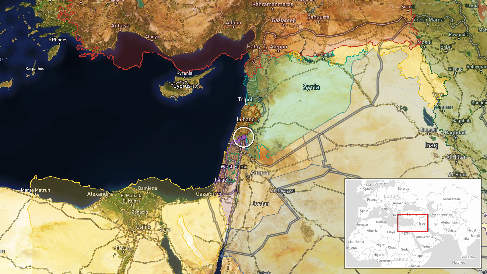
Israeli military forces reportedly opened fire on shepherds and livestock herders operating in the vicinity of Kudna village in Quneitra Governorate, Syria, on October 8 at approximately 12:30 UTC. The incident was reported by Syria Now, an Arabic-language Telegram channel. No casualty figures or further operational details were provided in the initial report. The engagement occurred in rural, pastoral terrain in the southwestern Syrian region.
Context and assessment
The incident represents part of a sustained pattern of Israeli military activity across Quneitra Governorate over the preceding 24 hours. Related reports document Israeli artillery fire on agricultural land near Al-Samdaniyah ash-Sharqiyah on October 7, military vehicle incursions between Jaba and Umm Batna villages on October 8, and ongoing trench-digging operations near Al-Rafid in the Sofa Line sector. Collectively, these operations suggest active Israeli ground and fire support operations across the Quneitra countryside, potentially linked to consolidation or security activities in occupied or contested territory. The targeting of civilian herders may indicate either escalating operational scope or heightened tensions in areas of mixed military and civilian activity.
Sources and confidence
Single source: Telegram channel @AJSyriaNow (Syria Now), an Arabic news outlet. No cross-confirmation from independent monitors or additional channels identified. Confidence score of 7.5 reflects single-source reporting and low geographic precision. Confirmation by additional outlets, casualty reports, or video documentation would raise confidence; clarification of Israeli military rationale or Syrian official response would strengthen assessment.
Location
Kudna village, Quneitra Governorate, southwestern Syria, near the Israeli-occupied Golan Heights. Coordinates given as 33.32°N, 35.74°E with regional precision. The area is predominantly rural, pastoral terrain. Quneitra lies in the demilitarized zone framework established after the 1973 war, currently subject to Israeli military administration in the Golan plateau.
Related events nearby
- Israeli occupation forces fired two artillery rounds at agricultural land near Al-Samdaniyah ash-Sharqiyah vil2026-10-07 19:22 UTC · Artillery · Al-Samdaniyah ash-Sharqiyah, Quneitra, Syria
- Israeli military vehicles penetrated between Jaba and Umm Batna villages in Quneitra Rif, with footage documen2026-10-08 11:48 UTC · Combat · Jaba, Quneitra Governorate, Syria
- Lebanese Army interdicted a smuggling operation on Wednesday, seizing 5 pickup trucks crossing from Syria lade2026-10-08 10:32 UTC · Security · Syria-Lebanon Border, Bekaa Valley
- Israeli occupation forces continue military trench-digging operations in agricultural lands near Al-Rafid vill2026-10-07 16:41 UTC · Security · Al-Rafid, Quneitra, Syria
- Syrian Foreign Ministry condemns recent Houthi attacks on Saudi Arabia's vital infrastructure and civilian fac2026-10-08 05:38 UTC · Statement · Damascus, Syria
▶ View this event on the live map
Intel Mapper aggregates open-source reports from monitored Telegram and X channels, geolocates them, cross-checks duplicates across sources and assigns a confidence score. Entries are updated as new confirmations arrive. Read how we verify events.