Lebanese Army destroys 60 hectares of cannabis in Baalbek, detains Syrian workers
What happened
The Lebanese Army reported destroying 60 hectares of cannabis crops cultivated in Al-Kanisah village in Baalbek District on 10 October. The operation resulted in the arrest of 17 Syrian workers described as lacking legal documentation, and the seizure of harvesting equipment. The report was issued via official military channels and carried by regional news outlets monitoring security developments in the Bekaa region.
Context and assessment
The operation occurs amid an intensified security campaign across Lebanon's eastern border region. Over the previous 24 hours, Lebanese forces had arrested a drug smuggler transporting 117 kg of combined narcotics toward Syria and interdicted explosives and rocket projectiles at the Qusayr–Hermel crossing. Simultaneously, Syrian customs authorities seized over 129,000 captagon pills at the Jdeideh Yabous crossing. This cluster of enforcement actions—coupled with a diplomatic meeting between Syrian and Lebanese officials on border operations—suggests coordinated or parallel efforts to restrict cross-border smuggling networks. Cannabis cultivation in the Bekaa has long been documented; intensified operations may reflect either renewed enforcement capacity or mounting pressure on trafficking routes.
Sources and confidence
Report originated from Lebanese Army official statement via Telegram channel @AJSyriaNow on 10 October. Single-source reporting; no independent cross-confirmation from other military or international observers documented. Confidence score of 7.6 reflects official government source credibility tempered by lack of corroboration. Verification would benefit from independent media reporting or Lebanese Defence Ministry confirmation; lowered if crop size or arrest figures prove inconsistent with on-ground assessment.
Location
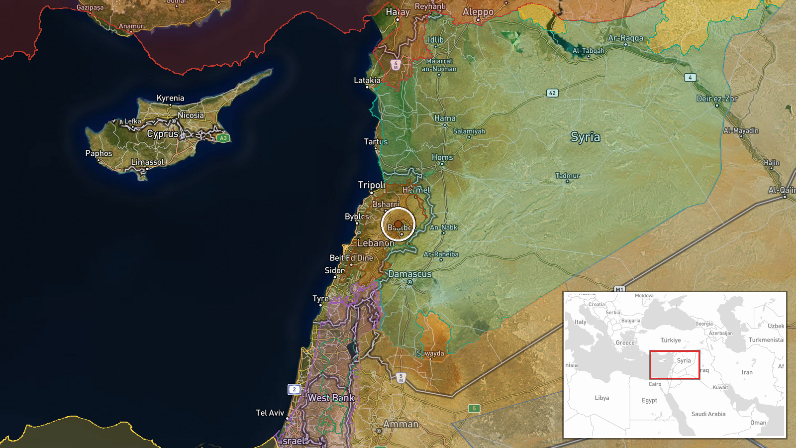
Al-Kanisah village in Baalbek District, Bekaa Governorate, eastern Lebanon, located at approximately 34.12°N, 36.16°E. The Bekaa Valley is a major agricultural region and documented site of cannabis production. Baalbek District sits near the Syrian border and has been a focal point for cross-border smuggling activity. Precise field location within the village settlement determined by reported village name and district administrative boundaries.
Related events nearby
- Lebanese Army arrested a drug smuggler in Jroud Arsal attempting to transport 60 kg hashish, 35 kg captagon, a2026-10-09 14:42 UTC · Security · Jroud Arsal, Baalbek-Hermel, Lebanon
- Lebanese Army foiled a smuggling attempt at the Qusayr–Hermel border crossing, intercepting rocket projectiles2026-10-09 15:02 UTC · Security · Al-Qusayr – Hermel Border Area, Baalbek-Hermel, Le
- Syrian embassy chargé d'affaires Eyad al-Hazaa met Lebanese President Joseph Aoun in Beirut to discuss border 2026-10-09 13:54 UTC · Diplomacy · Beirut, Lebanon
- Damascus Governorate initiated relocation of Saladin statue from Damascus Citadel for restoration and preserva2026-10-10 10:49 UTC · Statement · Damascus Citadel (Qalat Dimashq), Damascus, Syria
- Syrian Interior Ministry announces appointment of Brigadier General Nayef Al-Ibrahim as head of internal secur2026-10-10 10:28 UTC · Statement · Damascus, Syria
▶ View this event on the live map

Intel Mapper aggregates open-source reports from monitored Telegram and X channels, geolocates them, cross-checks duplicates across sources and assigns a confidence score. Entries are updated as new confirmations arrive. Read how we verify events.