Euphrates River water level rises notably between Raqqa and Deir ez-Zor
What happened
Al Jazeera's open-source analysis unit has documented a significant increase in the Euphrates River's water level and channel width in the stretch between Raqqa and Deir ez-Zor, Syria. The assessment compares satellite or hydrological data across a two-year period, indicating measurable expansion of the waterway. The report was published on 10 October 2026 via Al Jazeera's Syria channel.
Context and assessment
The Euphrates remains a critical resource and potential flashpoint in Syria's fragmented governance landscape. Rising water levels in this section could reflect upstream dam operations, seasonal patterns, or changes in water-sharing agreements affecting Turkey, Syria, and Iraq. The timing coincides with broader instability in Deir ez-Zor Governorate, where recent days have seen incidents including soldier casualties and civilian injuries, suggesting an environment of active security concerns. Changes in river conditions can affect military logistics, agriculture, and civilian water access—factors particularly sensitive in disputed or contested areas. Such hydrological shifts warrant monitoring as they may influence operational capacity or humanitarian conditions in the region.
Sources and confidence
Reported by Al Jazeera's Syria channel (@AJSyriaNow) via Telegram on 10 October 2026. Single source reporting limits independent verification; no cross-confirmation from other major outlets noted. Confidence of 7.8 reflects the credibility of the source and nature of open-source analysis, though the specific methodology and data sources are not detailed in the available summary.
Location
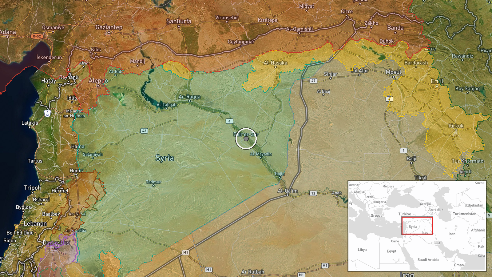
The Euphrates River segment between Raqqa and Deir ez-Zor, northeastern Syria. Raqqa lies approximately 160 km northwest of Deir ez-Zor city. This stretch flows through sparsely populated desert terrain and is strategically important for water supply and regional stability. Geographic precision is regional rather than point-specific.
Related events nearby
- Three children from Al-Masrab village, rural Deir ez-Zor, were injured after a hand grenade explosion while pl2026-10-10 10:27 UTC · Security · Al-Masrab, Deir ez-Zor, Syria
- A Syrian Army soldier died from gunshot wounds sustained in an attack by unknown assailants in Baqrass village2026-10-10 09:22 UTC · Security · Baqrass, Deir ez-Zor, Syria
- Syrian Network for Human Rights documents 453 Israeli incursions, 69 casualties, and 162 arbitrary detentions 2026-10-09 19:06 UTC · Report · Syria
▶ View this event on the live map

Intel Mapper aggregates open-source reports from monitored Telegram and X channels, geolocates them, cross-checks duplicates across sources and assigns a confidence score. Entries are updated as new confirmations arrive. Read how we verify events.