Syrian naval commander joins Turkish-led multinational maritime exercise in Izmir Gulf
What happened
Syrian Navy Brigadier General Muhammad Al-Saoud participated in the Nusrat-2026 naval exercises held in Izmir Gulf, Turkey, from October 6 to 16, 2026. The Turkish Ministry of Defense announced the participation of 26 countries in the joint multinational maritime coordination drill. The exercises represent a significant diplomatic and military engagement involving Syrian naval leadership in a multilateral platform hosted by Turkey.
Context and assessment
The Nusrat-2026 exercise reflects ongoing efforts to expand maritime cooperation in the Eastern Mediterranean and broader region. Syrian naval participation in a Turkish-hosted multinational drill marks a notable development in bilateral military engagement, particularly given historical tensions between Damascus and Ankara over Syria's civil conflict and territorial disputes. The inclusion of 26 participating nations suggests the exercise aims to establish or reinforce maritime coordination protocols, likely addressing regional security concerns, freedom of navigation, or humanitarian assistance frameworks. Such exercises typically serve both practical training objectives and diplomatic signaling about regional alignment and de-escalation.
Sources and confidence
Reported by Turkish Ministry of Defense via Telegram channel @AJSyriaNow. Single primary source limits independent cross-confirmation. Confidence score of 7.6 reflects official Turkish government announcement but absence of corroborating international media coverage. Confirmation from Syrian defense ministry, participating nations' statements, or independent maritime observers would strengthen confidence.
Location
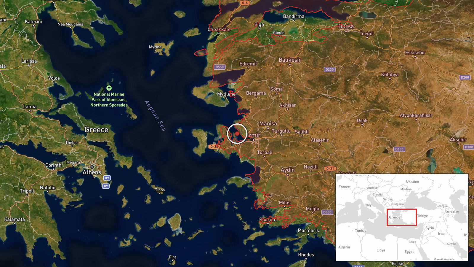
Izmir Gulf (also known as Gulf of Izmir or Bay of Izmir) lies on Turkey's Aegean coast in western Anatolia, approximately 560 kilometers southwest of Ankara. The gulf opens to the Aegean Sea and hosts significant Turkish naval infrastructure. Geographic precision rated as regional rather than facility-specific, indicating the exercises encompassed waters across the gulf area rather than a single installation.
▶ View this event on the live map

Intel Mapper aggregates open-source reports from monitored Telegram and X channels, geolocates them, cross-checks duplicates across sources and assigns a confidence score. Entries are updated as new confirmations arrive. Read how we verify events.