Video reportedly shows Israeli tanks and military vehicles advancing in Daraa and Quneitra countryside
What happened
A video published on Telegram by the channel @AJSyriaNow reportedly documents an advance by tanks and military vehicles belonging to the Israeli army into rural areas of Daraa and Quneitra governorates in southern Syria. The channel's Arabic caption describes the footage as showing an incursion into the two countryside areas, and the summary specifically names Tal al-Krum as part of the advance. The report is dated 18 October 2026 at 14:46 UTC. The post does not state the exact position of the vehicles, the size of the force, or whether any clashes or casualties occurred. The event is classified as a convoy movement. Because the information comes from a single channel and the footage itself is the primary basis, the account has not been independently confirmed by other outlets at the time of writing.
Context and assessment
Southern Syria, particularly the Daraa and Quneitra governorates, has been a sensitive area since the 2024 collapse of the Assad government, when Israeli forces moved into the UN-monitored buffer zone established under the 1974 disengagement agreement and into adjacent high ground near the Golan Heights. Reports of ground movements in this area have periodically drawn attention because they touch on the disengagement arrangement and on local communities' relations with armed groups and the new Syrian authorities. Tal al-Krum sits in this rural belt, where terrain and village roads shape how armored columns move. Two related events from the same week are relevant background. Syrian security forces were conducting nationwide operations against drug trafficking and smuggling between 12 and 16 October, showing that Damascus was actively policing its territory at the time. Separately, a report described British SAS personnel hunting ISIS leaders in central Syria who were accused of murder and later redeployed, illustrating how crowded and contested the Syrian security environment remained. Taken together, these events suggest a period of heavy activity by multiple actors. An armored advance of this kind may indicate reconnaissance, positioning along the buffer zone, or a response to local security developments, though the video alone does not establish intent.
Sources and confidence
The report rests on one Telegram channel, @AJSyriaNow, which is recorded as the sole source with a source count of one. No second outlet, official Israeli statement, or independent geolocation was linked in the event data. The confidence score of 7.5 reflects a clear, dated primary visual that names specific governorates and a named village, offset by the single-channel origin and the lack of verified location details. Confidence would rise if wire services, local monitors, or regional outlets confirmed the footage, or if geolocation matched the Tal al-Krum area. It would fall if the footage were found to be older, recycled, or taken from a different front.
Location
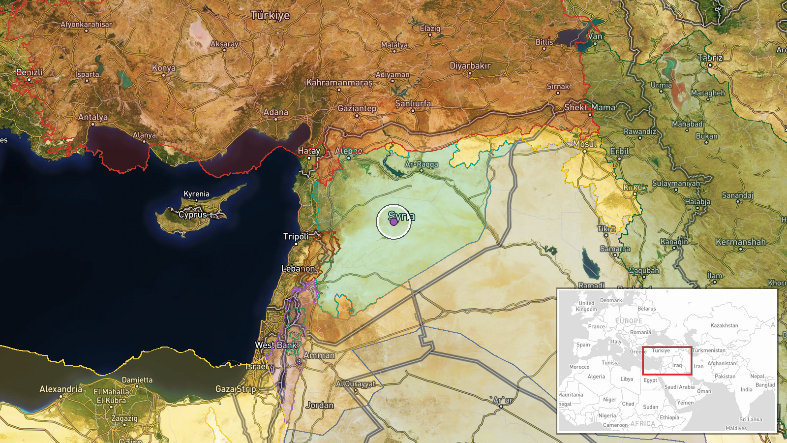
The location is recorded only as Syria with no reported settlement, so the coordinates are set at a regional centroid near 34.9 N, 38.3 E with a region-level precision and low location confidence. The point falls within the broader southern Syrian area covering Daraa and Quneitra, not at a specific village. The terrain is largely open agricultural plateau and volcanic basalt land, with the Golan Heights and the Yarmouk River basin to the west and south. Tal al-Krum is named in the summary and would be the most likely point of reference for a more precise placement.
Related events nearby
- AJSyria asks about the circumstances of Israeli forces abducting dozens of Syrians in southern Syria; a link p2026-10-18 15:16 UTC · Security · Syria (location not reported)
- Syrian security forces conducted a series of operations against drug trafficking and smuggling across Syria fr2026-10-17 19:33 UTC · Police Operation · Syria (location not reported)
- British SAS soldiers hunting ISIS leaders in Syria were accused of murder after a failed mission, had homes ra2026-10-18 09:28 UTC · Security · Central Syria, Syria
▶ View this event on the live map

Intel Mapper aggregates open-source reports from monitored Telegram and X channels, geolocates them, cross-checks duplicates across sources and assigns a confidence score. Entries are updated as new confirmations arrive. Read how we verify events.