Ukrainian drones strike Gazprom Neftekhim Salavat refinery in Bashkortostan
What happened
Ukrainian unmanned aerial vehicles struck the Gazprom Neftekhim Salavat oil refinery in Salavat, Bashkortostan, overnight on October 8, reportedly causing fires at the facility. The refinery is a significant petroleum processing installation located approximately 1,400 kilometers from the Ukrainian border. The attack was reported via Telegram channels monitoring the conflict.
Context and assessment
The Gazprom Neftekhim Salavat refinery is a major Russian petrochemical facility with capacity to process crude oil into refined products for domestic consumption and export. As part of Ukraine's strategic campaign against Russian energy infrastructure, strikes on refineries aim to degrade fuel production capacity that supports military logistics and the broader economy. Attacks on facilities this deep in Russian territory demonstrate extended Ukrainian drone range and represent a continuation of strikes on energy targets, though the operational impact of this specific incident requires confirmation. Such targets have become increasingly contested as Ukraine seeks to impose costs on Russian industrial capacity.
Sources and confidence
Reported by Telegram channel @ClashReport. Single-source confirmation limits confidence to 7.0 out of 10. Cross-confirmation from additional open-source channels, satellite imagery showing damage, or Russian official acknowledgment would strengthen confidence. Independent verification of fire damage and operational impact would be necessary to confirm strike effectiveness.
Location
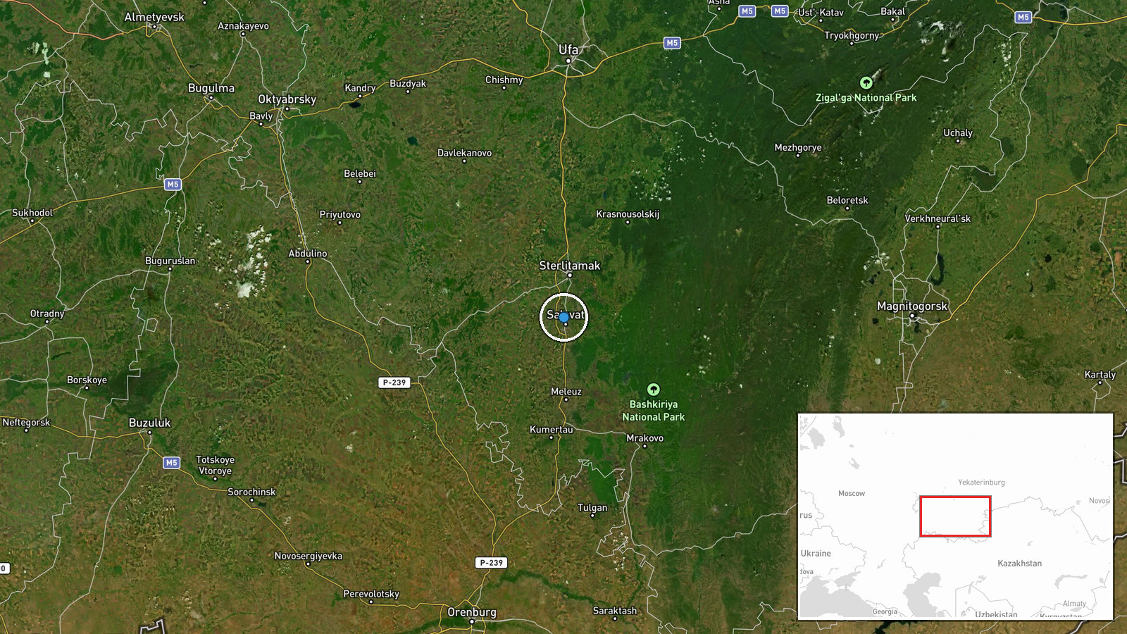
Salavat is an industrial city in the Republic of Bashkortostan, in Russia's Southern Urals region. The Gazprom Neftekhim facility is located within or immediately adjacent to the city proper, at approximately 53.40°N, 55.90°E. The refinery sits roughly 1,400 kilometers northeast of Ukraine's border, in Russian interior territory not occupied by Ukrainian forces.
▶ View this event on the live map
Intel Mapper aggregates open-source reports from monitored Telegram and X channels, geolocates them, cross-checks duplicates across sources and assigns a confidence score. Entries are updated as new confirmations arrive. Read how we verify events.