Turkey tests ASELSAN MORFOZ precision guidance kit on AKINCI drone over Aegean
What happened
Turkey conducted a successful test of ASELSAN's MORFOZ guidance kit mounted on an AKINCI unmanned aerial vehicle over the Gulf of Saros on 9 October. According to Telegram channel ClashReport, the system achieved a direct hit on its first firing. MORFOZ converts standard general-purpose bombs into precision-guided glide munitions, featuring folding wings for extended range, INS/GNSS inertial navigation, GPS-jamming resistance via an 8-channel antenna, adjustable impact angles including vertical dive, and real-time telemetry transmission to the launch aircraft.
Context and assessment
The test adds MORFOZ to AKINCI's established munitions suite of over 20 indigenous systems, expanding Turkey's domestic precision-strike capabilities. AKINCI is Turkey's long-endurance strategic UAV platform, and integration of new guidance kits reflects ongoing development of indigenous air-to-ground systems. The timing coincides with Turkish statements condemning Israeli military operations in Gaza and Syria, though this test appears routine developmental work. Turkey has prioritized drone and munitions indigenization over the past decade, reducing reliance on foreign systems. Success with MORFOZ suggests ASELSAN's jamming-resistant navigation technology meets operational requirements, potentially enabling deployment across Turkish aerial platforms.
Sources and confidence
Single source: Telegram channel @ClashReport on 9 October. Confidence score of 7.0 reflects reporting of a military exercise by a defence-focused open-source channel without independent cross-confirmation from Turkish Defence Ministry or ASELSAN. Confidence would increase with official Turkish statements or corroborating technical reports; it would decrease if contradicted by Turkish officials.
Location
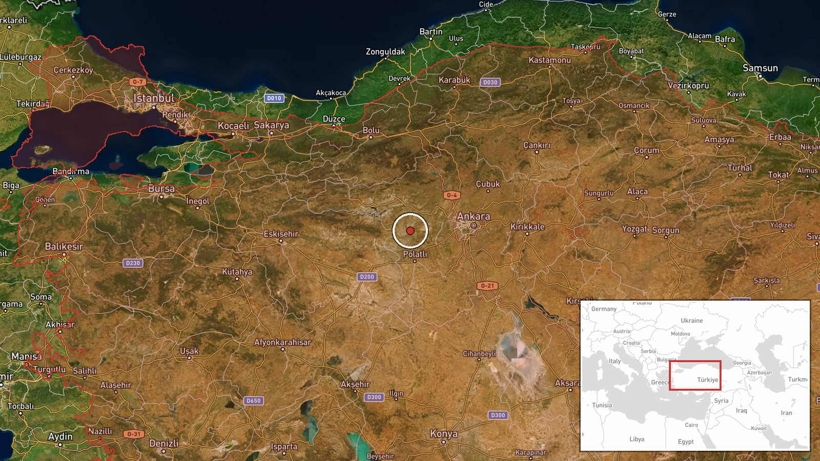
Gulf of Saros in northwestern Turkey, located between the Gallipoli Peninsula and northeastern Aegean coast near the Greece-Turkey maritime boundary. Test range lies approximately 150 km west-northwest of Ankara in an established Turkish military testing area over open water, chosen for safety and operational security during unmanned systems trials.
Related events nearby
- Turkish President Erdoğan states Turkey will endure hardship but will not turn its back on oppressed peoples s2026-10-09 08:53 UTC · Statement · Ankara, Turkey
- Turkish President Erdoğan condemns alleged raids on holy sites in Jerusalem, claiming violations of their hist2026-10-09 09:02 UTC · Statement · Ankara, Turkey
- President Erdoğan condemns Israeli military operations in Gaza, characterizing them as genocide and describing2026-10-09 08:51 UTC · Statement · Ankara, Turkey
- Syrian Foreign Minister Asaad Al-Shaybani met with Turkish intelligence chief Ibrahim Kalın in Ankara. Discuss2026-10-08 19:55 UTC · Diplomacy · Ankara, Turkey
- Turkish Foreign Minister Hakan Fidan met with Syrian Foreign Minister Baathir Al-Shaybani in Ankara. This dipl2026-10-08 18:09 UTC · Diplomacy · Ankara, Turkey
▶ View this event on the live map

Intel Mapper aggregates open-source reports from monitored Telegram and X channels, geolocates them, cross-checks duplicates across sources and assigns a confidence score. Entries are updated as new confirmations arrive. Read how we verify events.