Footage released of Iranian pilot found after Yak-130 shootdown over Lavasan, Tehran Province
What happened
Iranian documentary filmmaker Javad Gharaei has released footage that he says shows the moment an Iranian pilot was found after his Yak-130 jet was shot down by an Israeli F-35 during what the reporting calls the 40-day war. According to the report, the pilot ejected over mountains near Lavasan, a settlement northeast of Tehran. The event is dated 19 October 2026 at 18:35 UTC. The wording of the reporting is careful: Gharaei is described as saying the footage shows the discovery, and the shootdown and its attribution come from the same account rather than from an official military statement. The report includes no casualty information, no pilot identity, and no details of the engagement, and none are assumed here.
Context and assessment
Lavasan sits in the foothills north of Tehran, close to the Alborz range, so an aircraft shot down there would have been operating in the mountainous airspace that screens the capital from the north. The Yak-130 is a Russian-built advanced trainer that Iran's air force has used for training and light attack roles, which makes its loss notable even though it is not a front-line fighter. The event is framed as part of the aftermath of the 40-day war, and the surrounding related statements show Iranian officials using the period to make claims about their posture. Foreign minister Abbas Araghchi rejected the idea of a civilizational war, blamed the United States for insecurity in the Strait of Hormuz, and argued that US bases in the region failed to protect their hosts. Within the same hours, IRGC spokespeople said the force's power had grown at least 1.5 times, with expanded missile and drone production, and warned of surprises and a far more severe response if provoked. Taken together, the release of the footage may be less a military development than a messaging step, intended to show resilience and rescue capability at a time of public deterrence claims. Nothing in the related events indicates new hostilities, so the item is best read as a retrospective account of the war rather than a sign of renewed fighting.
Sources and confidence
Two channels are listed: the Telegram channel @ClashReport and the X account @ConflictTR. Both are recorded as reporting the item, but the data does not show that they independently verified the footage or that either tied it to an official Iranian or Israeli statement. The confidence score of 8.2 reflects two listed sources and a consistent description of the event across them, while the absence of official confirmation and of independent geolocation of the footage holds it below the top range. Confidence would rise with confirmation from Iranian military or government sources, an Israeli acknowledgement of the engagement, or verification that the footage matches the Lavasan area. It would fall if the footage were traced to a different date, a training accident, or an earlier incident.
Location
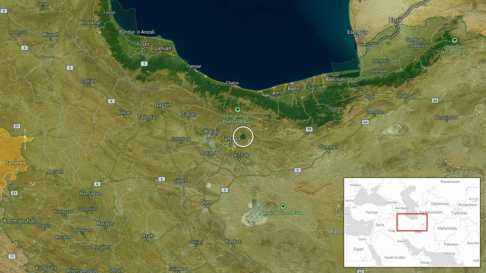
The location is recorded at settlement level, with coordinates 35.82 N and 51.64 E placing the point on Lavasan rather than on a specific crash or ejection site. The exact ejection point and any wreckage location are not given in the data, and no location confidence value was recorded. Geographically, Lavasan lies in the mountainous terrain north and northeast of Tehran, on slopes leading up into the Alborz range, a setting of valleys, ridges and access roads. The terrain would have shaped both the search and recovery effort and the visibility of the footage.
Related events nearby
- IRGC spokesman issued a veiled threat that seven undersea internet cables under the Strait of Hormuz are being2026-10-19 18:59 UTC · Statement · Tehran, Iran
- Araghchi says US bases in the region failed to protect their hosts and were destroyed in the recent war; he ba2026-10-19 15:42 UTC · Statement · Tehran, Iran
- Araghchi rejects US-led framing of the Iran conflict as a civilizational war, calling it a self-deception and 2026-10-19 15:35 UTC · Statement · Tehran, Iran
- Araghchi, after talks with Lavrov, blames the US for Strait of Hormuz insecurity and urges diplomacy on region2026-10-19 13:37 UTC · Statement · Tehran, Iran
- IRGC spokesman Sardar Mohebi claims the force's power has grown at least 1.5 times, with expanded missile and 2026-10-19 11:51 UTC · Statement · Tehran, Iran
▶ View this event on the live map

Intel Mapper aggregates open-source reports from monitored Telegram and X channels, geolocates them, cross-checks duplicates across sources and assigns a confidence score. Entries are updated as new confirmations arrive. Read how we verify events.