British officials report 500+ suspicious fishing-vessel movements over Atlantic cable routes
What happened
A report circulated on Telegram through the channel @ClashReport states that British officials have identified more than 500 suspicious movements involving 17 Russian-suspected fishing vessels. According to the report, the ships were repeatedly slowing down, changing direction and following undersea cable routes that link Britain with Europe and the United States. The activity is placed in the North Atlantic off the United Kingdom, with the event timestamped 22 October 2026. The channel attributes the claim to The Telegraph, which reportedly framed the concern as officials fearing the vessels could help Moscow identify targets for future sabotage. The source text does not name the vessels, give exact dates for the movements, or include an on-record statement from any official.
Context and assessment
Undersea cables carry most of the intercontinental internet and data traffic that underpins finance, communications and government networks, so their routes are considered strategically sensitive. Western governments have grown more alert to this since a series of damage incidents in the Baltic Sea in recent years, including the 2022 Nord Stream pipeline explosions and later cable breaks that investigators linked to vessels operating in the area. In those cases, suspicion has often centred on ships whose movements were unusual, such as loitering, slow passes or repeated course changes over infrastructure. The present report fits that wider concern, but the dataset holds no related events for this item, so it cannot be checked against earlier incidents recorded on the platform. Operationally, slow speeds and course changes along cable corridors could be consistent with reconnaissance or mapping of seabed routes. They could also reflect ordinary fishing practice, since trawling and fishing grounds frequently overlap with cable paths. The report's own framing is a fear about future targeting, not evidence of an attack, and that distinction should be kept clear.
Sources and confidence
All information comes from a single channel, Telegram @ClashReport, which attributes the underlying claim to The Telegraph. No second outlet, official statement or independent maritime tracking record appears in the data, so cross-confirmation is absent. The confidence score of 7.1 reflects a named newspaper attribution that gives the claim some traceable origin, offset by its reliance on one relay with no direct quotation of officials. Confidence would rise if the original Telegraph article were located and matched in wording, if British government or defence officials were quoted on record, or if vessel-tracking data corroborated the described movements. It would fall if the attribution could not be traced to the newspaper or if the figures changed between versions.
Location
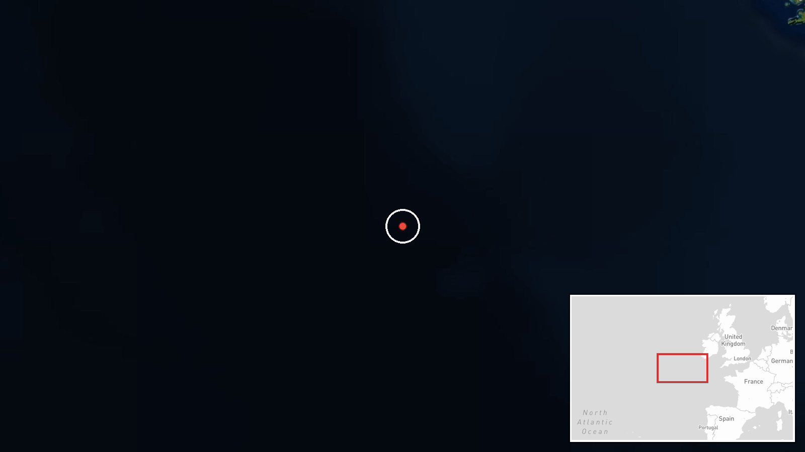
The location is a broad region rather than a precise point. The coordinates, 50.0 degrees north and 15.0 degrees west, are a generalised centre for open Atlantic water several hundred kilometres west of Ireland and the southwest approaches to Britain. No settlement or facility is identified. The area is part of the Western Approaches, a heavily used shipping and fishing zone, and it lies near the cable corridors that connect the British Isles with North America and continental Europe.
▶ View this event on the live map

Intel Mapper aggregates open-source reports from monitored Telegram and X channels, geolocates them, cross-checks duplicates across sources and assigns a confidence score. Entries are updated as new confirmations arrive. Read how we verify events.