Iran uses searchlights to identify ships by name in Hormuz, warns of tracking system
What happened
According to a Telegram report, Iranian small boats are employing searchlights to read vessel names directly from hulls during nighttime transits through the Strait of Hormuz. After visual identification, Iranian operators radio the vessels by name, warning that they are "locked in the system" and ordering them to cease transit or face unspecified action. Maritime security analyst Martin Kelly characterized the tactic as evidence that Iran operates a centralized tracking system capable of monitoring specific vessels and their timing through the waterway, combining low-technology visual methods with higher-level coordination.
Context and assessment
The Strait of Hormuz remains a critical chokepoint for global energy transport, with Iran controlling the northern coastline. This report aligns with recent Iranian statements on 30 August asserting complete oversight of strait activity. Deputy Foreign Minister Gharibabadi claimed Iranian armed forces have comprehensive monitoring capability and disputed U.S. assertions about ship passages. Separate statements indicated Iran has negotiated crossing arrangements with Oman while suggesting the strait will remain closed to certain traffic. The searchlight tactic may reflect efforts to enforce these restrictions through direct intimidation while demonstrating operational control. The coordination of visual identification with centralized radio warnings suggests a deliberate layering of surveillance and communication, though the operational intent—whether to deter, collect intelligence, or enforce selective closures—remains ambiguous.
Sources and confidence
Single source: Telegram channel @ClashReport. The account references maritime security specialist Martin Kelly. No cross-confirmation from other intelligence channels, international maritime authorities, or vessel operator reports is noted. Confidence score of 7 reflects the plausibility of the tactic within known Iranian maritime practices but the absence of independent verification. Confirmation from shipping companies, coalition observers, or signals intelligence would substantially strengthen confidence.
Location
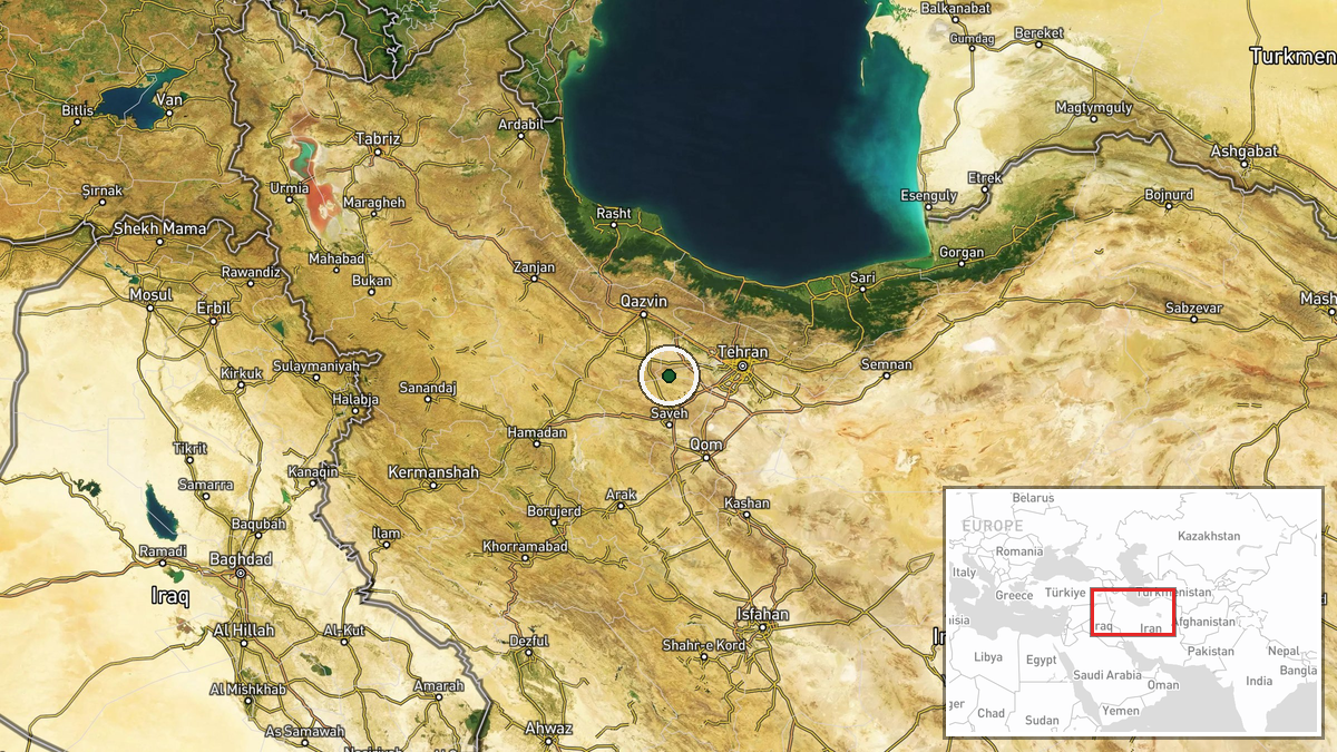
The Strait of Hormuz is located between Iran's southern coast and the Omani peninsula, extending roughly 50 nautical miles at its narrowest point. The geographic precision marker indicates Tehran settlement, reflecting the Iranian originating authority for the tactic rather than the strait's actual location. The operational area extends across the strategic waterway's central shipping lanes.
Related events nearby
- Iranian Deputy FM Gharibabadi claims Iranian armed forces have complete oversight of Strait of Hormuz activity2026-08-30 08:35 UTC · Statement · Tehran, Iran
- Iran's Deputy Foreign Minister Gharibabadi states Iran has reached understanding with Oman on Strait of Hormuz2026-08-30 08:34 UTC · Statement · Tehran, Iran
- Iranian religious leader Mujtaba Khamenei states regional leaders must recognize true enemies. Claims Islamic 2026-08-30 06:24 UTC · Statement · Tehran, Iran
- Iran's Tasnim news agency reports initial casualty figures from a U.S. strike: 2 killed, 2 injured. Details re2026-08-30 19:53 UTC · Statement ·
▶ View this event on the live map
Intel Mapper aggregates open-source reports from monitored Telegram and X channels, geolocates them, cross-checks duplicates across sources and assigns a confidence score. Entries are updated as new confirmations arrive. Read how we verify events.