Russian drones strike Orlivka border crossing with Romania; crossing closed
What happened
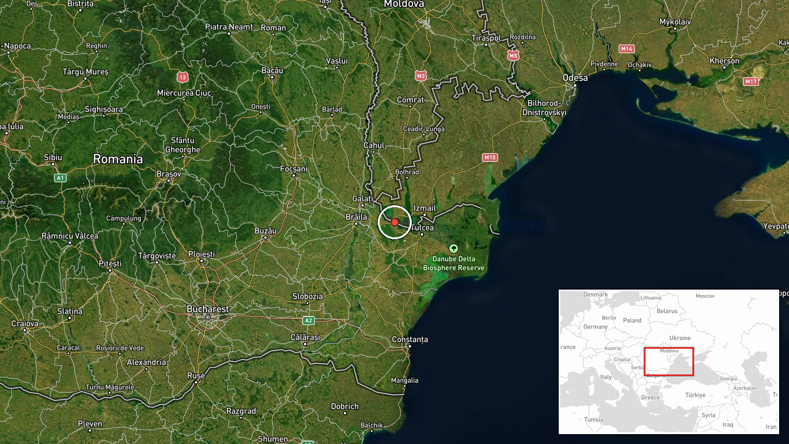
Russian unmanned aerial vehicles struck the Orlivka border crossing between Ukraine and Romania on September 1, according to Ukraine's Border Guard Service. The crossing, located near Isaccea in Tulcea County on Romania's Danube frontier, was subsequently closed. The report does not specify damage assessment, casualties, or the precise time of the strike beyond the early morning hours.
Context and assessment
The Orlivka crossing is one of several Danube River border points used for civilian and commercial traffic between Ukraine and Romania, a NATO member state. Strikes on border infrastructure reflect Russia's broader campaign to disrupt Ukrainian logistics and cross-border movement. Attacks on these crossings may signal attempts to isolate Ukrainian-held territories or degrade civilian supply routes, though the immediate operational intent is not clear from available reporting. Such incidents risk escalating tensions along NATO's eastern frontier, though strikes occurring on Ukrainian territory near the border differ from direct strikes on Romanian soil.
Sources and confidence
The report originates from Telegram channel @ClashReport. A single source report carries moderate confidence pending corroboration from Ukrainian official statements, Romanian authorities, or independent monitoring. Confidence would increase with confirmation from multiple independent channels or official statements from Ukraine's Border Guard or Romanian border authorities.
Location
Orlivka is a settlement in Isaccea, Tulcea County, Romania, situated on the Danube River's right bank. The border crossing connects Ukrainian and Romanian territory across the river. The location is approximately 170 kilometers upstream from the Danube's mouth at the Black Sea and lies in a region of flat agricultural terrain.
▶ View this event on the live map
Intel Mapper aggregates open-source reports from monitored Telegram and X channels, geolocates them, cross-checks duplicates across sources and assigns a confidence score. Entries are updated as new confirmations arrive. Read how we verify events.