Russian SuperCam reconnaissance drone evades Ukrainian interceptor near Kyiv
What happened
A Russian SuperCam reconnaissance unmanned aerial vehicle reportedly deployed electronic countermeasures to avoid interception by a Ukrainian air defense system over the Kyiv region on 1 September at approximately 18:48 UTC. According to the report, the drone successfully evaded the interceptor and continued operations. The event was documented via open-source channels monitoring aerial activity over Ukraine.
Context and assessment
The incident occurred during an intensified phase of air operations around Kyiv, following a Russian multi-wave missile strike earlier that day that killed 11 people and wounded 17. The encounter reflects ongoing reciprocal drone and air defense engagement over the capital region. Ukrainian officials have emphasized their own expanded drone operations in recent hours, with President Zelensky claiming Ukrainian operations have degraded Russian airspace security. The SuperCam's successful evasion suggests Russian reconnaissance assets are adapting to Ukrainian air defense capabilities, potentially indicating tactical adjustments to maintain overhead surveillance despite Ukrainian countermeasures.
Sources and confidence
Single source via Telegram channel ClashReport. No corroborating reports from additional channels identified. Confidence score of 7/10 reflects limited source diversity and inability to independently verify the drone's designation or countermeasure deployment. Cross-confirmation from Ukrainian air force statements or additional monitoring channels would strengthen confidence. Real-time video or radar data would provide higher certainty.
Location
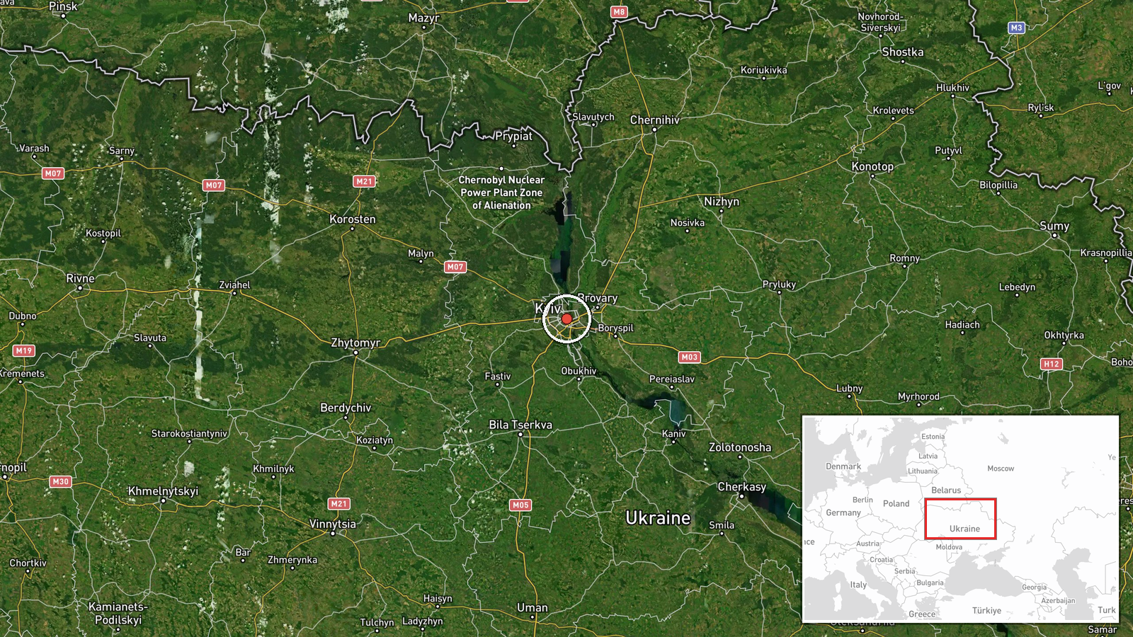
Kyiv region, central Ukraine. Coordinates place the event at regional level (50.45°N, 30.52°E), corresponding to the greater Kyiv metropolitan area. Precise interception location not specified; region-level precision typical for airspace incidents detected via open-source monitoring rather than official military channels.
Related events nearby
- President Zelensky declares Russian airspace is no longer safe for civilian flights and condemns state terrori2026-09-01 20:25 UTC · Statement · Kyiv, Ukraine
- President Zelensky announces Russian airspace is no longer safe for commercial flights and declares Ukraine wi2026-09-01 20:10 UTC · Statement · Kyiv, Ukraine
- Budanov declares Ukrainian drones and missiles will dominate Russian skies for as long as Russia continues its2026-09-01 19:10 UTC · Statement · Kyiv, Ukraine
- President Zelensky declares Russian airspace is effectively closed, with no safe moment remaining for Russian 2026-09-01 18:04 UTC · Statement · Kyiv, Ukraine
- President Zelensky states Ukraine paused strikes on Moscow and St. Petersburg following U.S. requests, but res2026-09-01 18:04 UTC · Statement · Kyiv, Ukraine
▶ View this event on the live map
Intel Mapper aggregates open-source reports from monitored Telegram and X channels, geolocates them, cross-checks duplicates across sources and assigns a confidence score. Entries are updated as new confirmations arrive. Read how we verify events.