Indian Navy warship collides with Pakistani vessel PNS Hunain in Arabian Sea
What happened
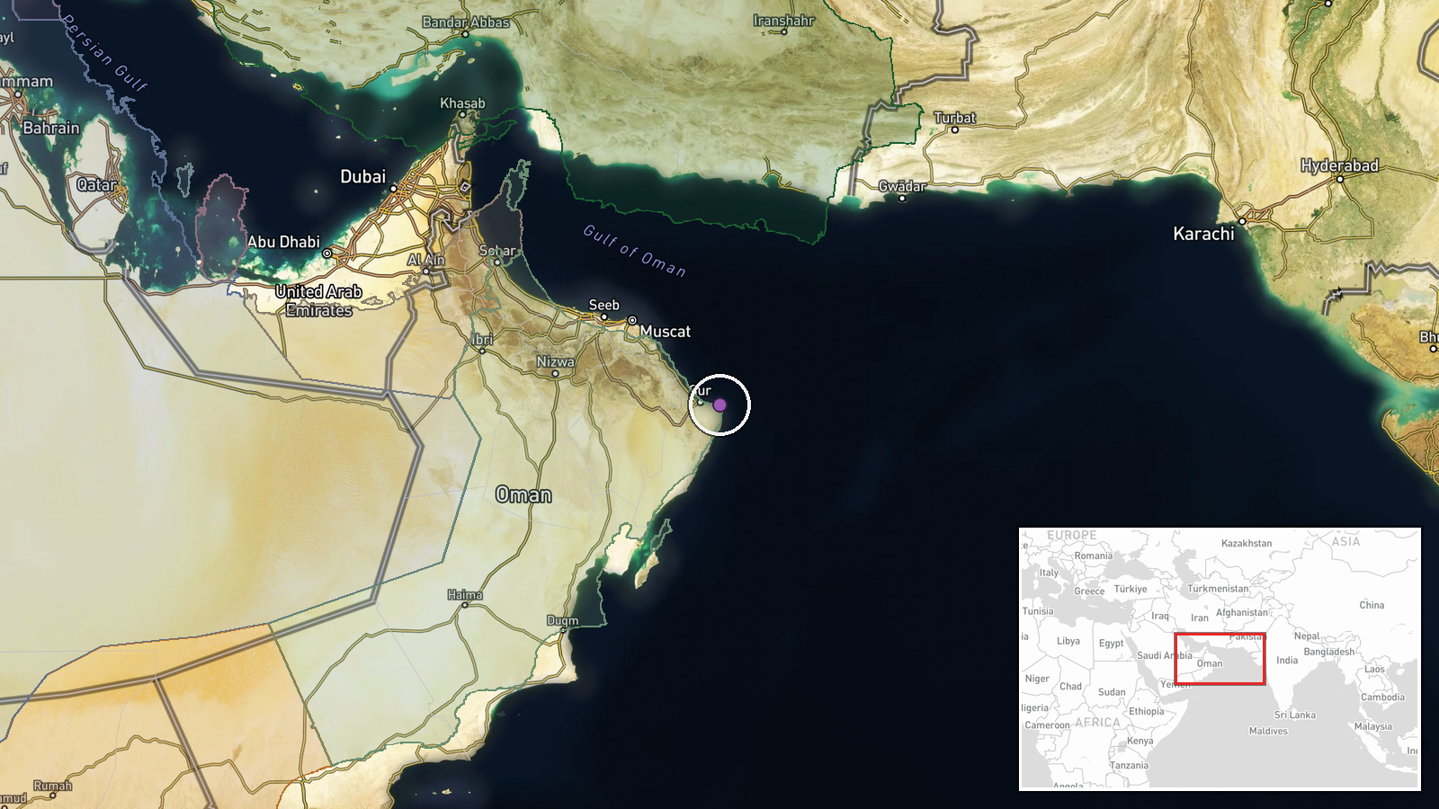
An Indian Navy warship and the Pakistani naval vessel PNS Hunain collided in the North Arabian Sea approximately 220 kilometers east of Oman on September 15, 2026. India protested the incident through diplomatic channels, characterizing the Pakistani ship's approach as high-speed, unprofessional, and unsafe. India reported no major damage to its own vessel. Indian sources claim PNS Hunain sustained damage and was observed heading toward port, though this assessment remains unconfirmed by independent sources or Pakistani official statements.
Context and assessment
The North Arabian Sea remains a strategically significant waterway where Indian and Pakistani naval operations regularly intersect. The incident occurred within international waters where both nations maintain active maritime presence. India's protest invoked the 1991 bilateral maritime safety agreement, which establishes a three-nautical-mile separation requirement to prevent such collisions. The claimed high-speed approach suggests either navigational miscalculation or deliberate pressure tactics. The absence of Pakistani official confirmation complicates assessment of the collision's severity and circumstances. Such incidents, while not uncommon in contested maritime zones, carry escalation risk given Indo-Pakistani naval tensions.
Sources and confidence
Reported via Telegram channel @ClashReport on September 16. Single-source reporting without corroboration from Pakistani officials, independent maritime monitors, or secondary Indian government statements. Confidence score of 7.0 reflects the specificity of claims (date, location, vessel name, agreement reference) balanced against sole-source status and unconfirmed damage assessments. Confirmation through Pakistani navy statements or satellite imagery would strengthen confidence; continued silence would lower it.
Location
The North Arabian Sea region, approximately 220 kilometers east of Oman. The coordinates place the incident in open international waters within a major shipping corridor and active naval operating area. The location is distant from major port facilities or territorial waters of either nation, consistent with international waters where navigation disputes most commonly occur.
▶ View this event on the live map
Intel Mapper aggregates open-source reports from monitored Telegram and X channels, geolocates them, cross-checks duplicates across sources and assigns a confidence score. Entries are updated as new confirmations arrive. Read how we verify events.